A lot’s happened since we last wrote. Like, a lot. So bear with my scatterbrained writing here.
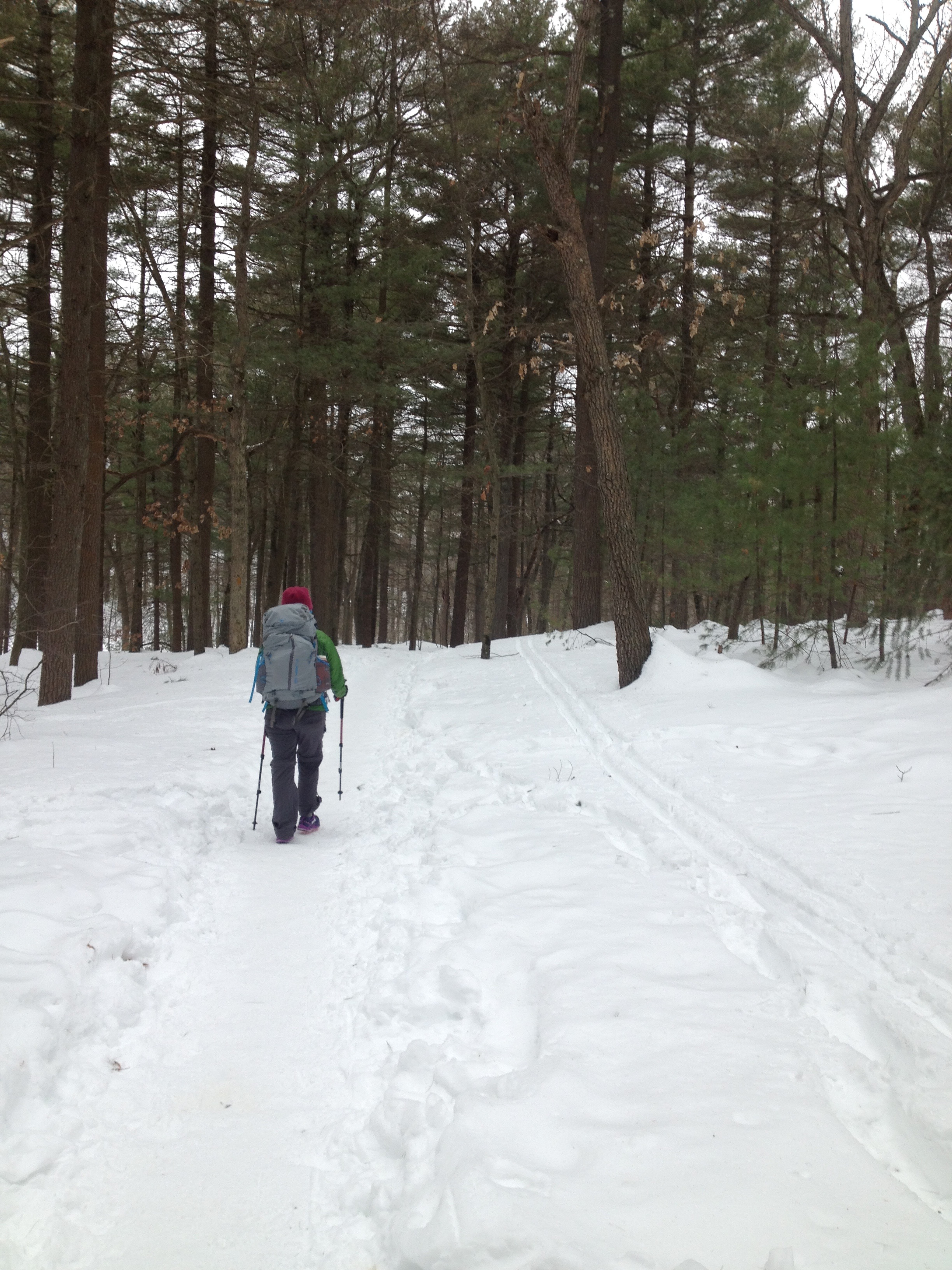
After saying goodbye to our Fresno family (who, again, drove us back up winding mountain roads), we hit the trail and found that it was much more populated than when we left it. With Father’s Day weekend around the corner and summer about to officially begin, we encountered many people out for a night or two in the woods. The section of trail between Sequoia/Kings Canyon and Yosemite is also popular with dog owners (no dogs in National Parks), so we met lots of dogs, too.
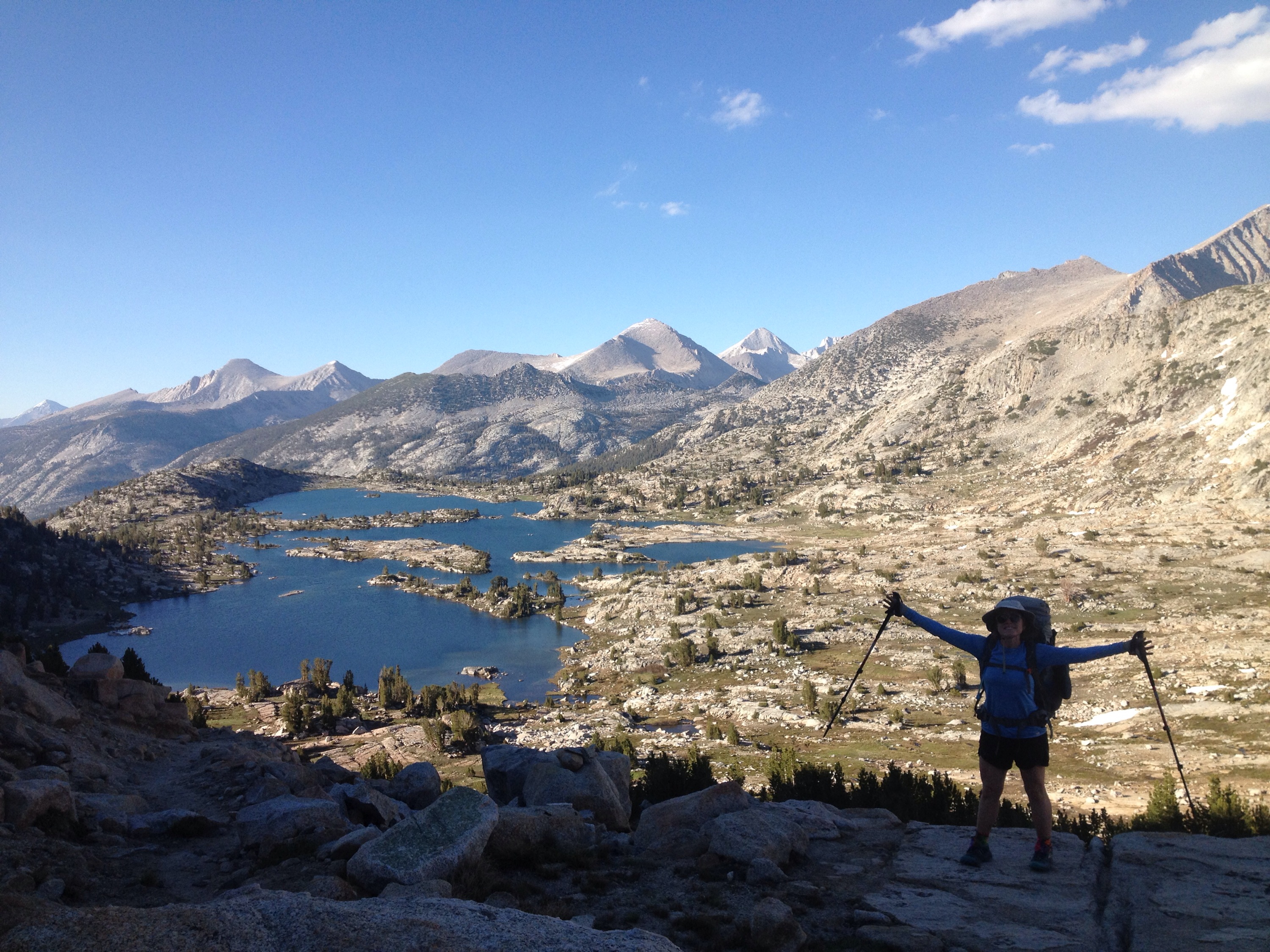
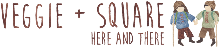
After Devil’s Postpile National Monument, the PCT and the John Muir Trail (JMT) diverge for about 15 miles. We’d been instructed to take the JMT through this section, which was bumpier terrain, but much more scenic, and we weren’t disappointed. Alpine lakes were around every turn, each a destination in itself. The chain ended with Thousand Island Lake, which, you guessed it, had lots of islands, and brought us to Donohue Pass, the entryway into Yosemite.
Rosalie Lake, along the JMT near Yosemite.
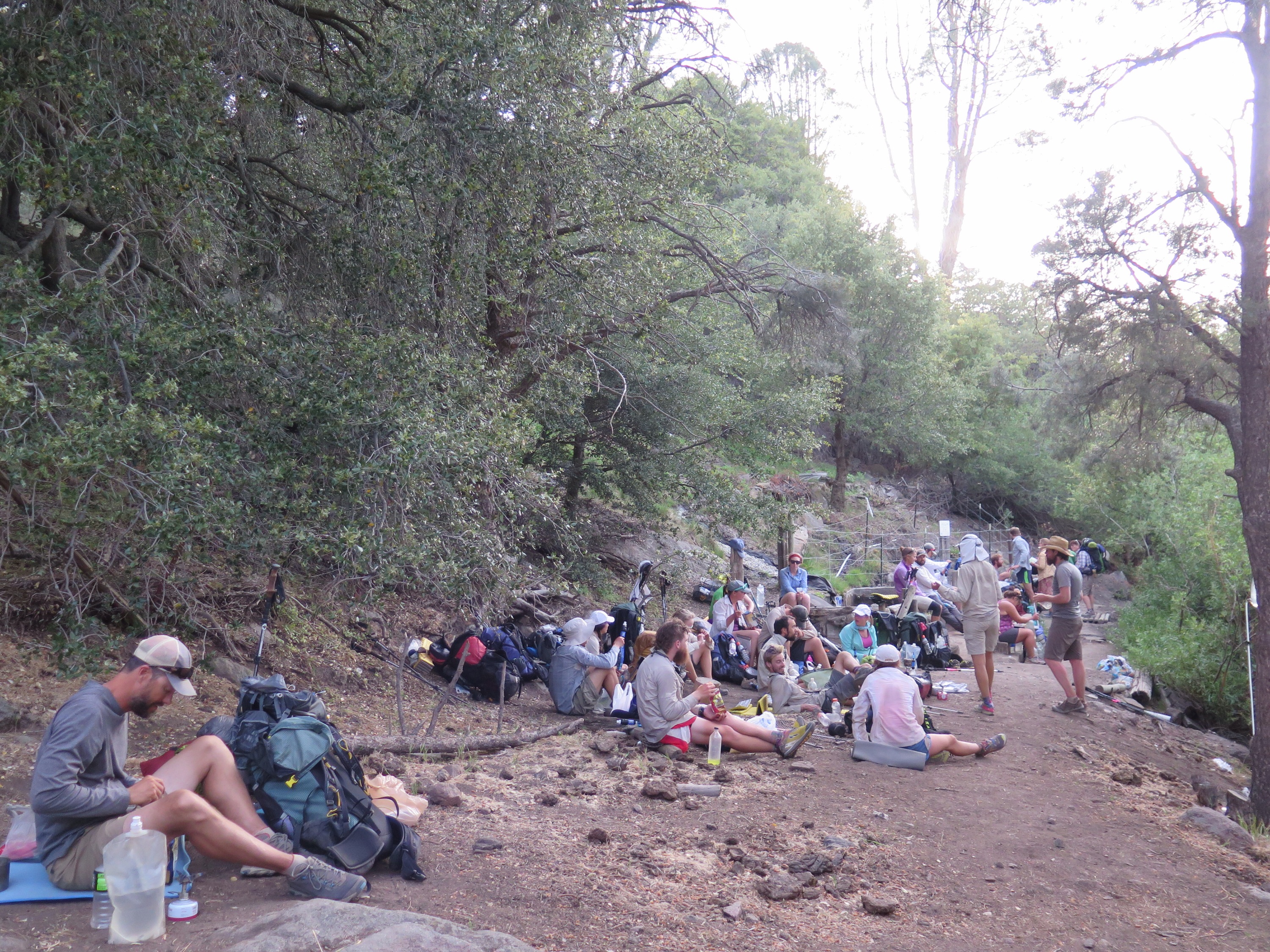
That day we crossed paths with 75 hikers, only a handful of which were thru-hiking like us. It was a bit of a shock, seeing as we typically run into about 10-20 people a day out here. As one fellow thru-hiker put it, “you start to feel entitled after a while.”
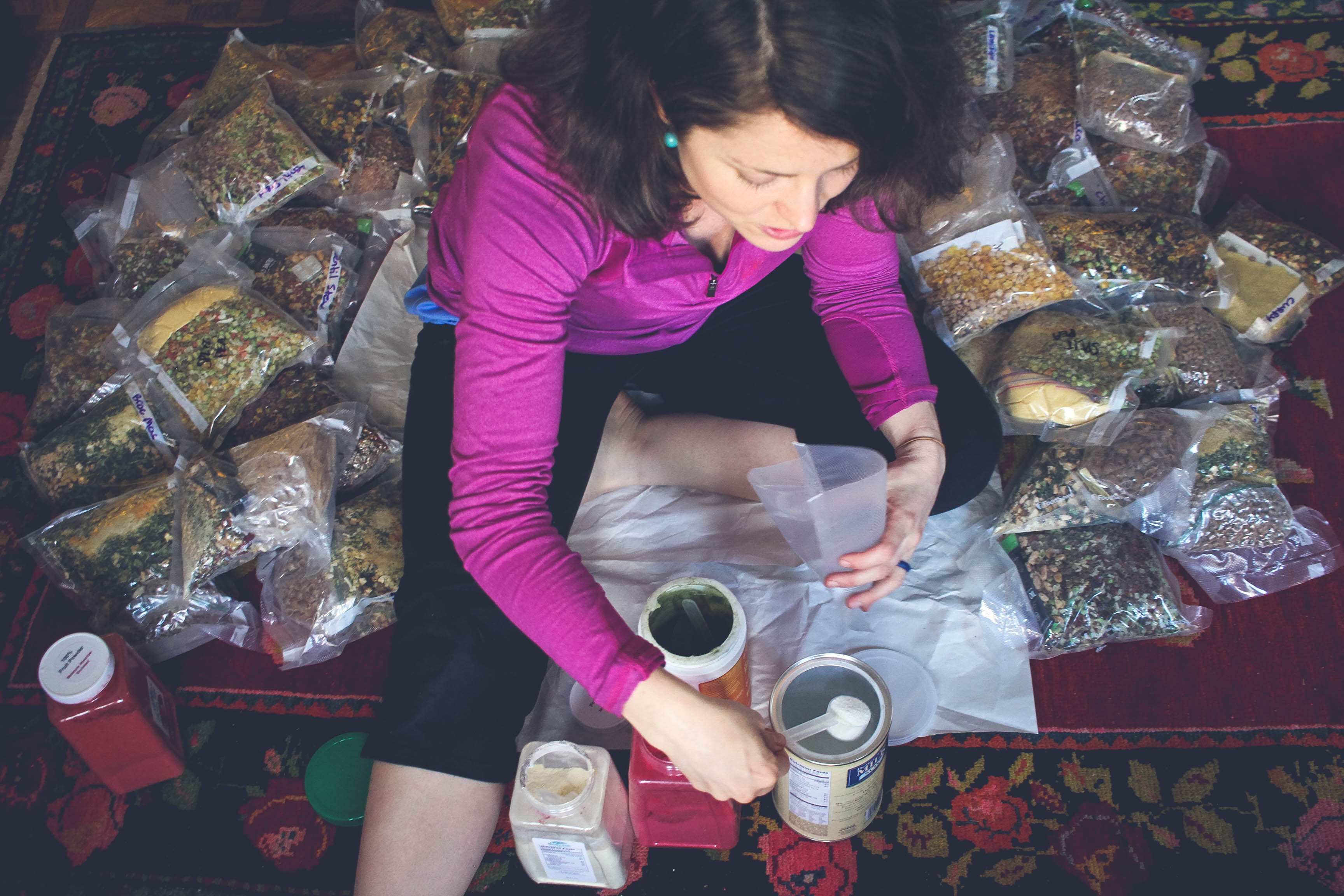
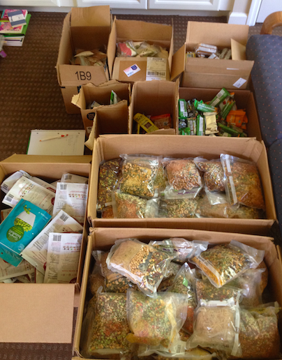
So, feeling somewhat entitled, we entered Yosemite. The mosquitoes were bad, as anticipated, but not intolerable, and we had an easy walk along the river into Tuolomne Meadows. There we picked up resupply boxes (which had been ardently defended by hiker-helping post office employees) and treated ourselves to a night at the Tuolomne Lodge, which is comprised of canvas tents with cement floors, beds, and wood-burning stoves. We avoided the gorgeous but crowded Yosemite Valley on this trip, so staying at the lodge was our “Yosemite Experience.” During our breakfast there, we dined with an older gentleman who’d been the piano player at Yosemite’s Ahwahnee Hotel for 40 years. When asked if he still liked coming to the park after all this time, he smiled and said “River still sounds good!” We agreed.
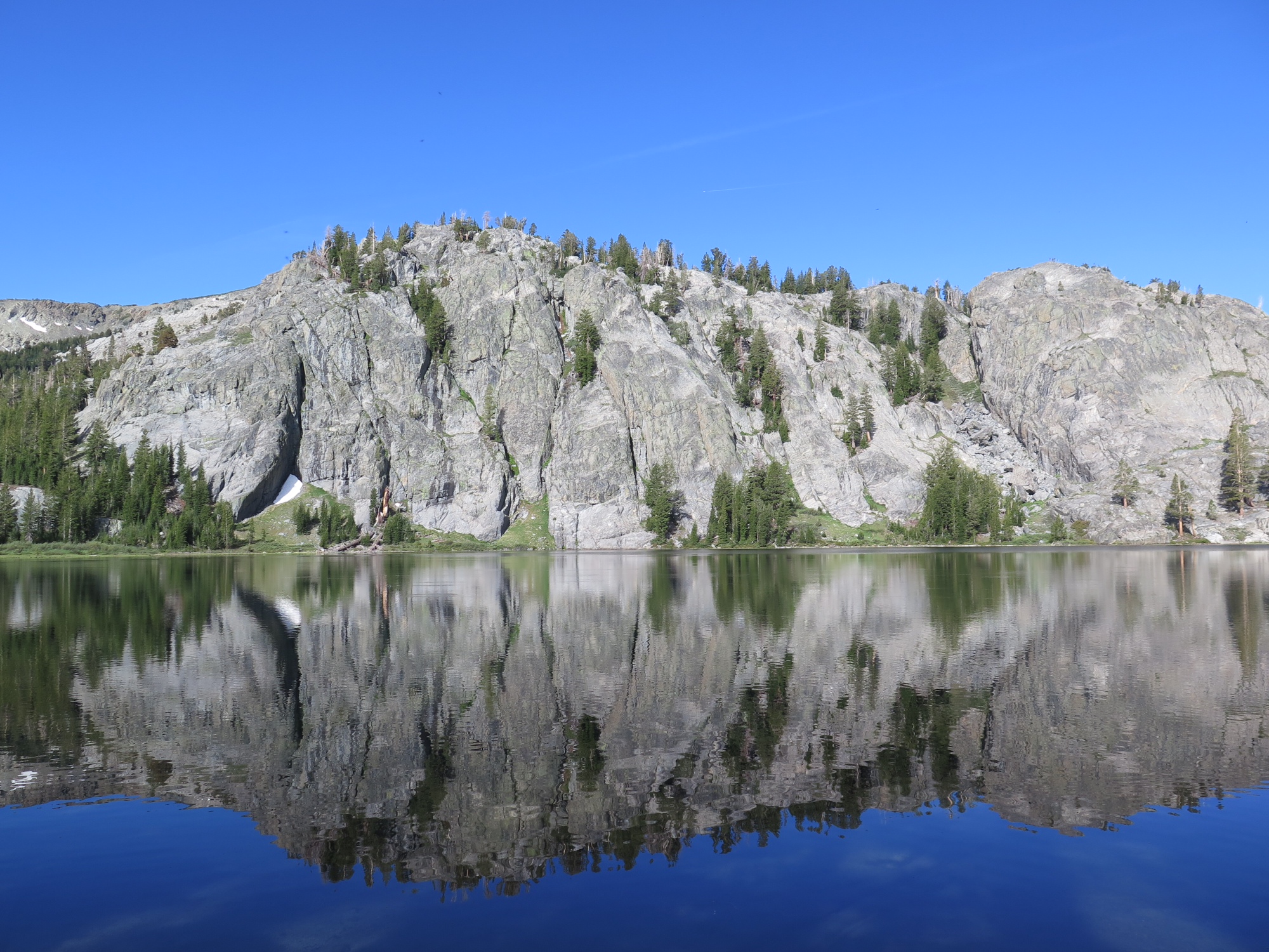
Waterfall near Glen Aulin / Tuolomne Meadows.
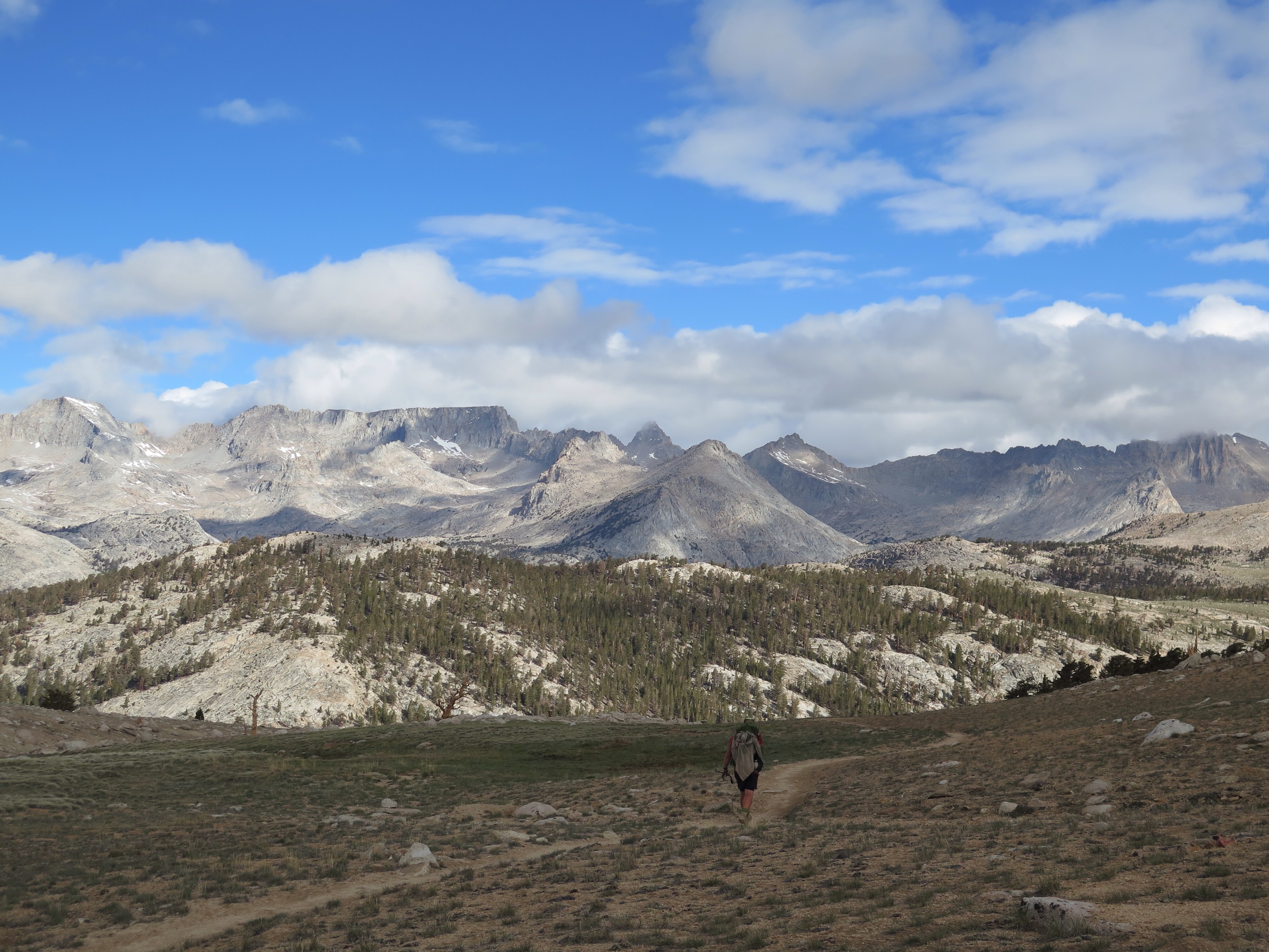
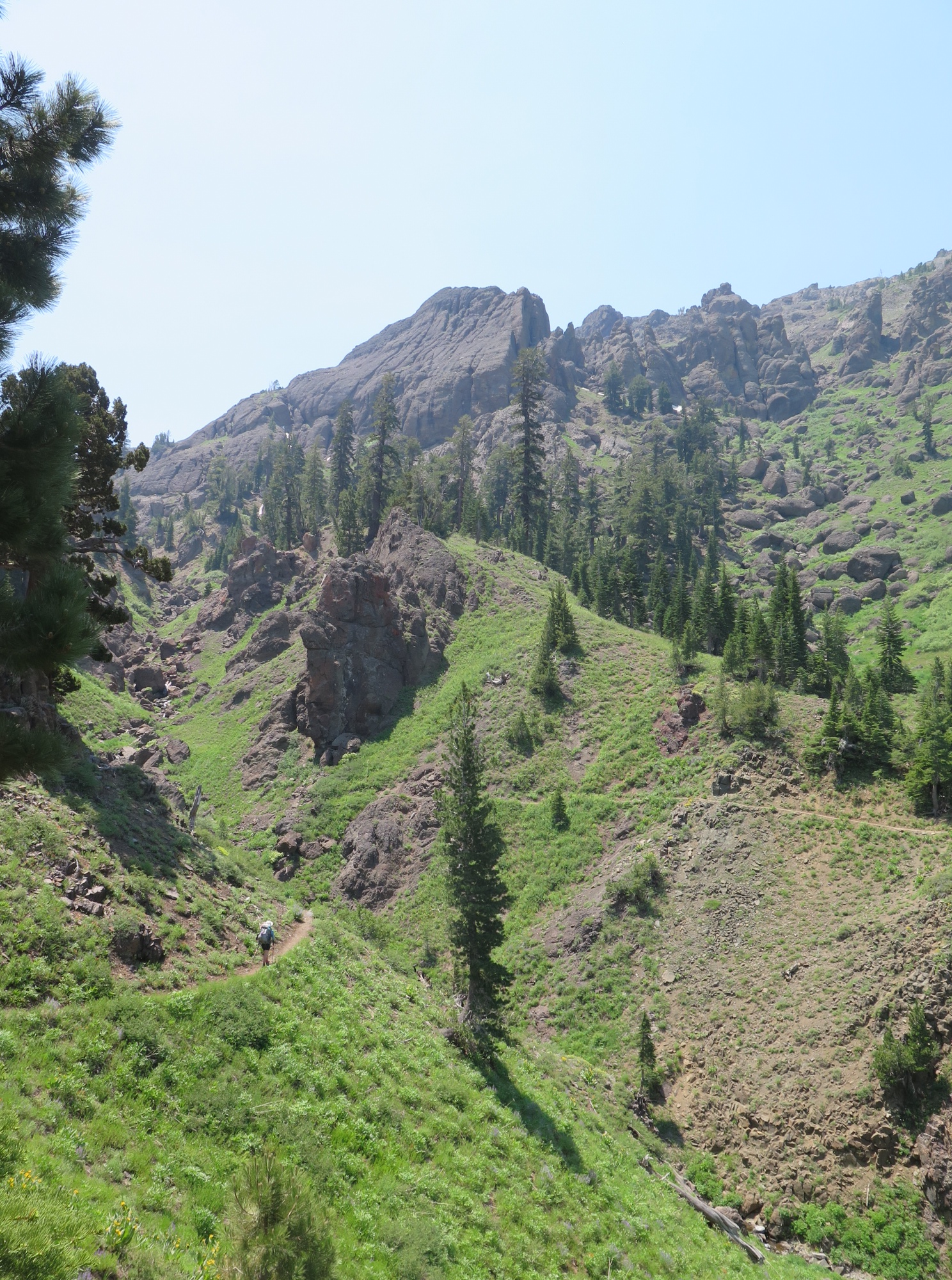
The remaining 60 miles within the park were typical of Yosemite – meadows, big slabs of rock, waterfalls – but were also rugged and just plain hard. Even with our Sierra-trained legs, we still struggled through days with steep ups and downs, loose rock, and, of course, les bugs.
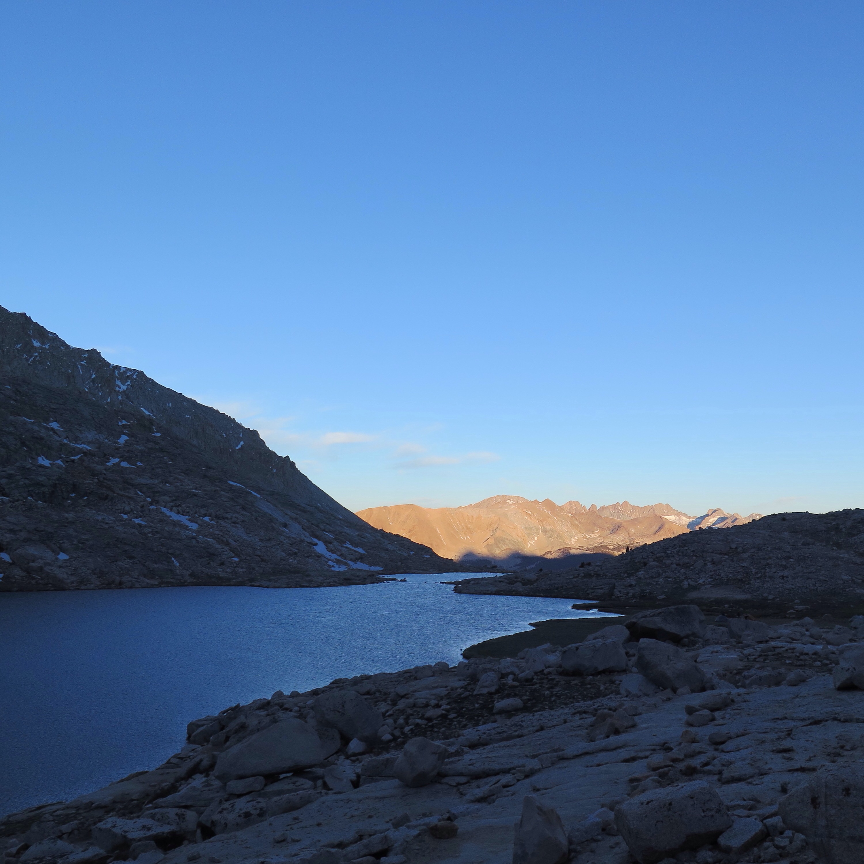
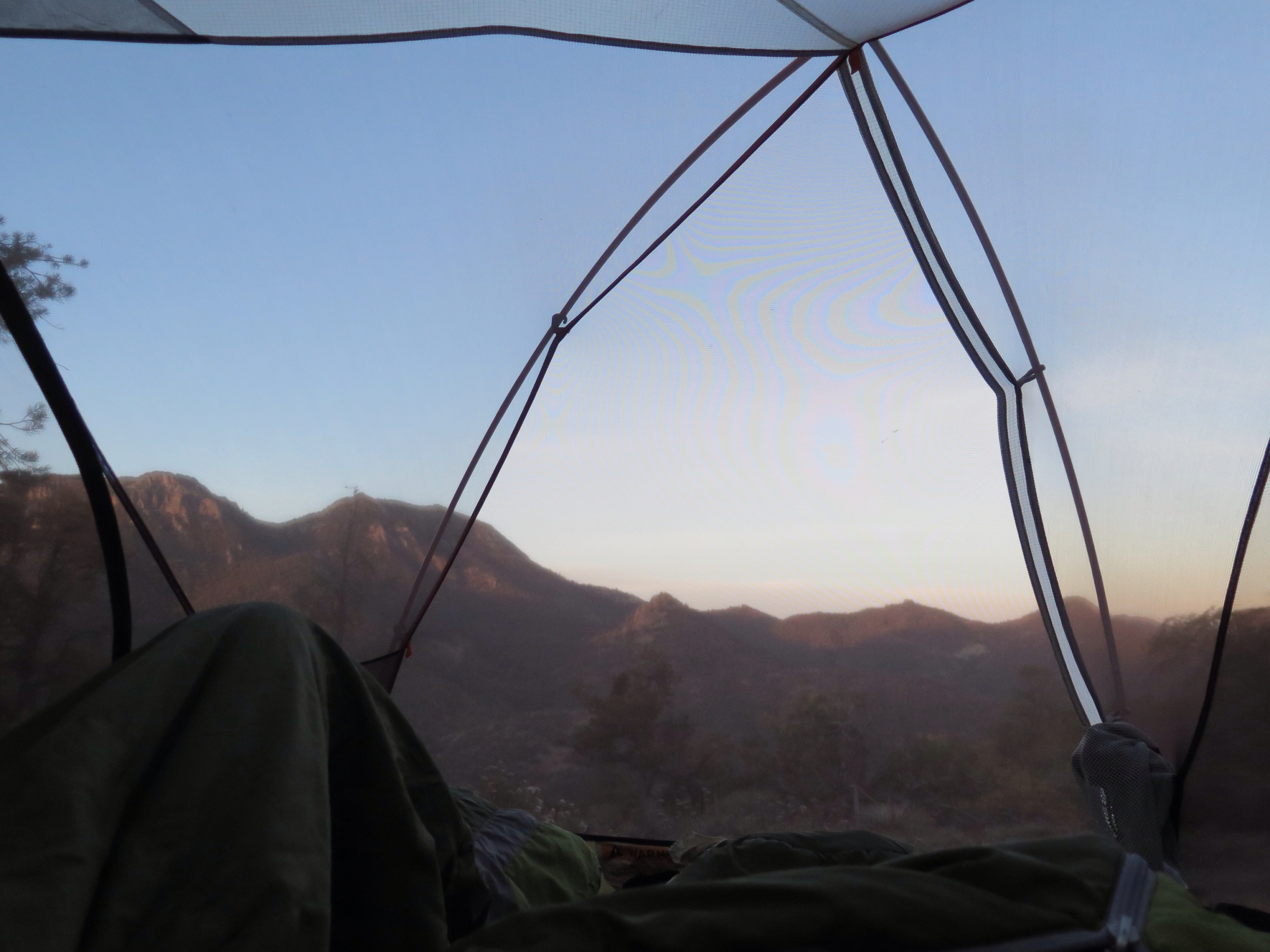
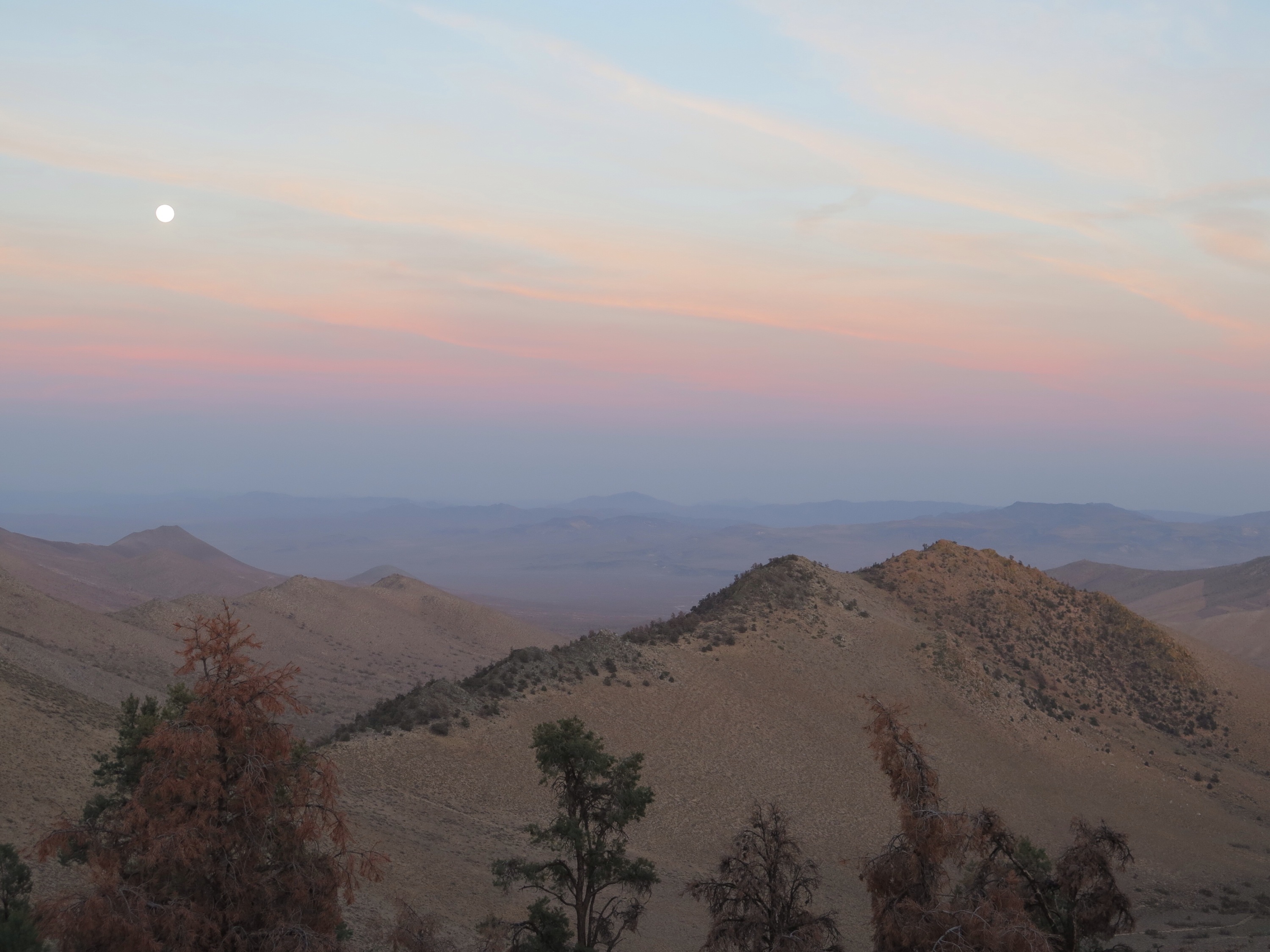
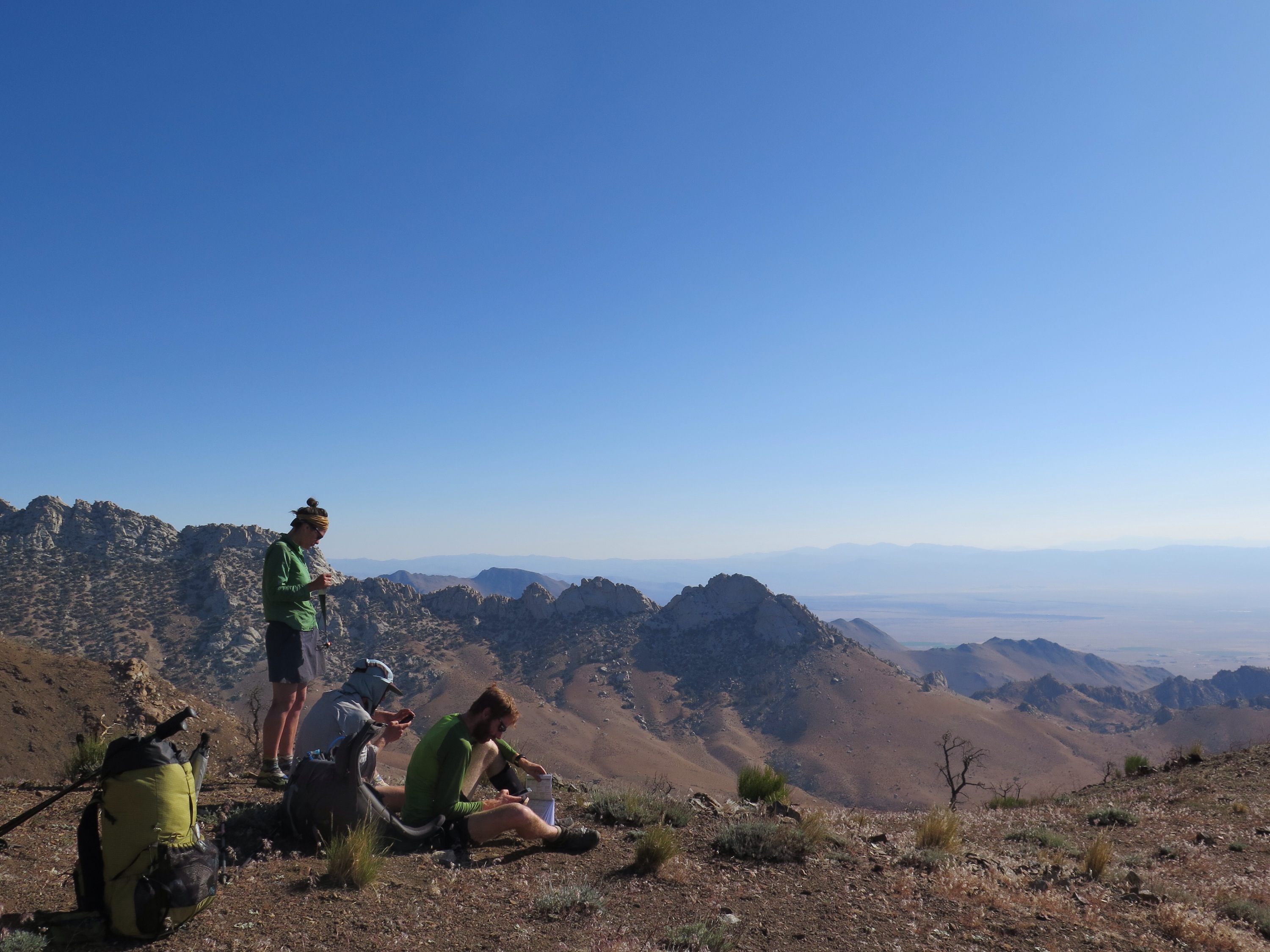
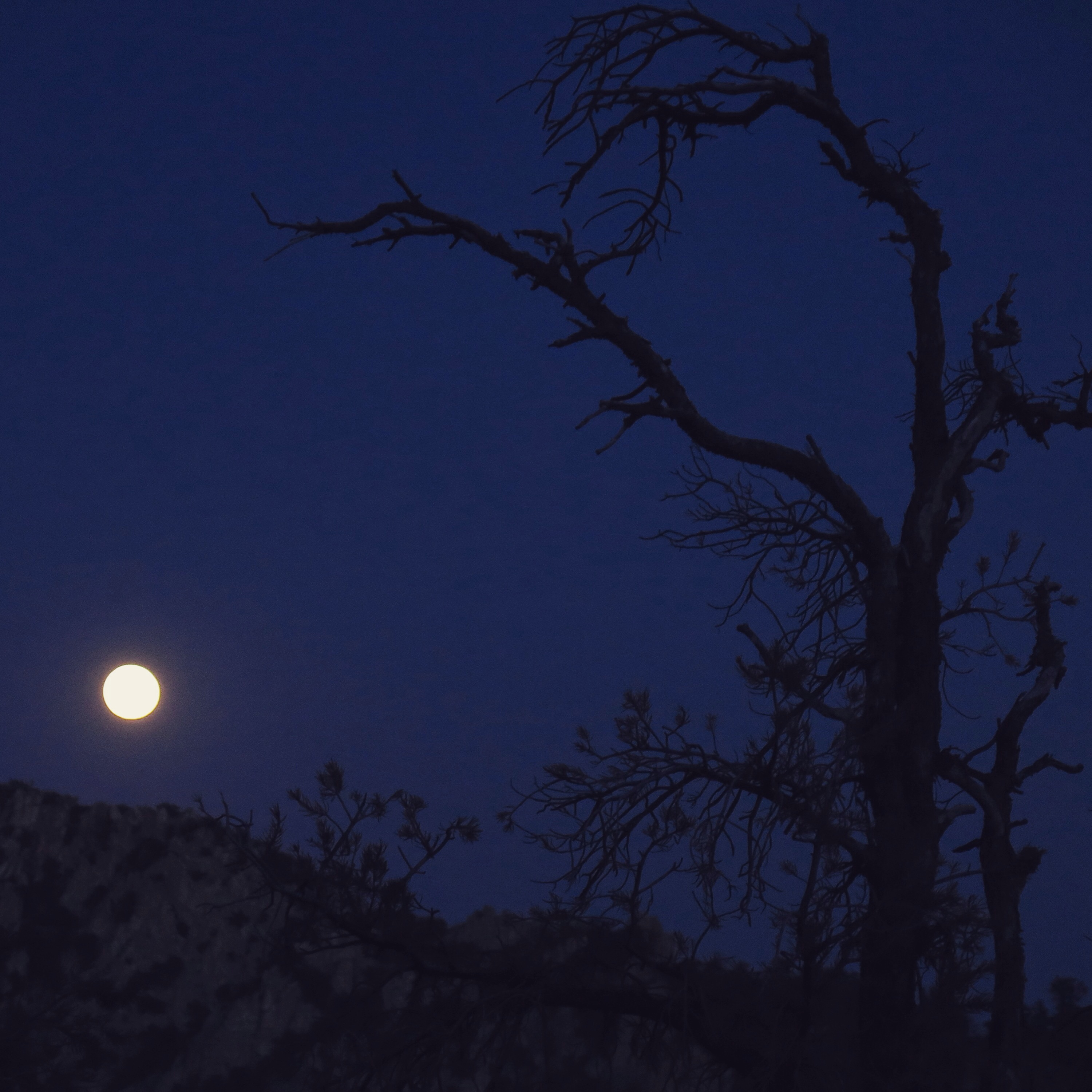
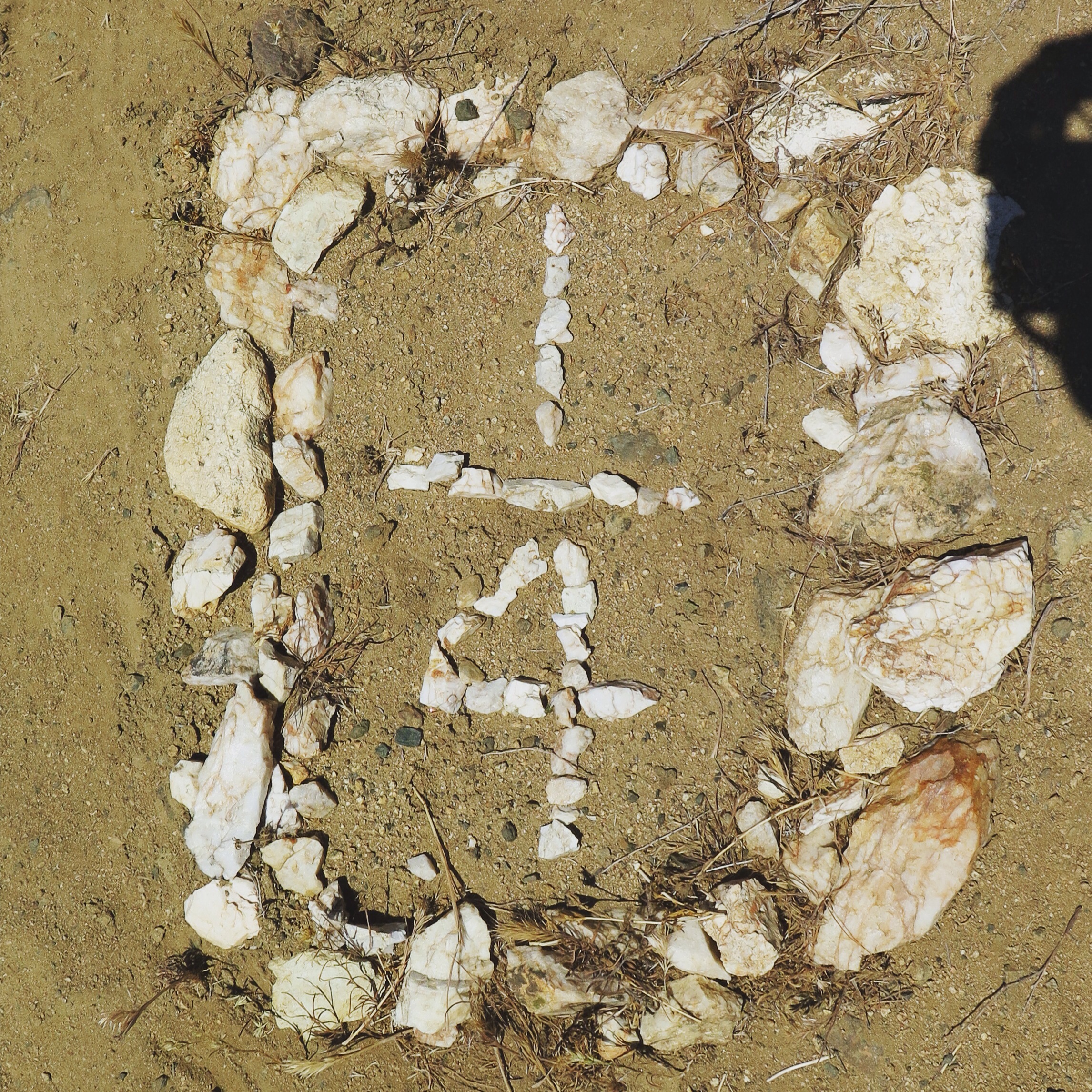
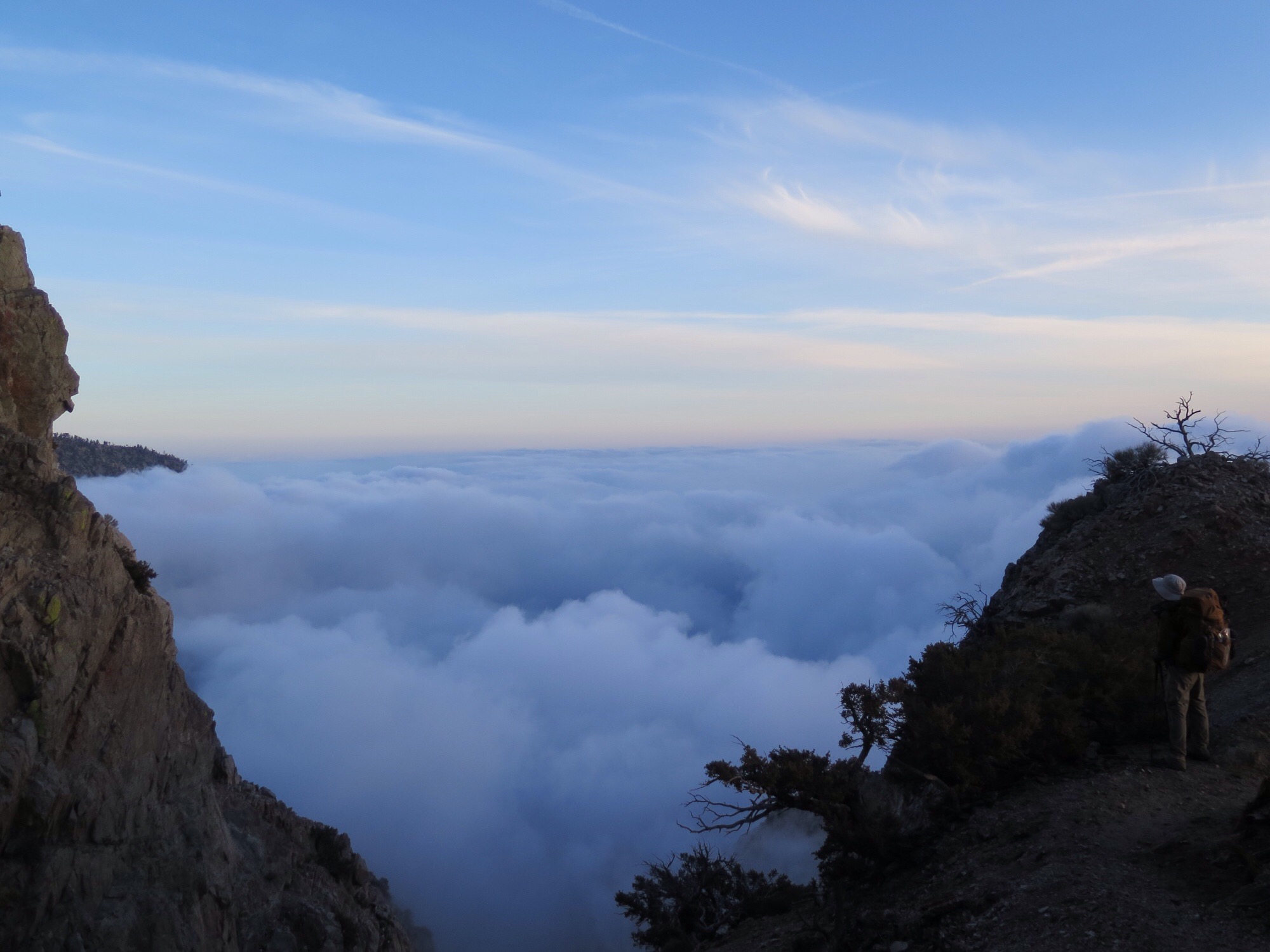
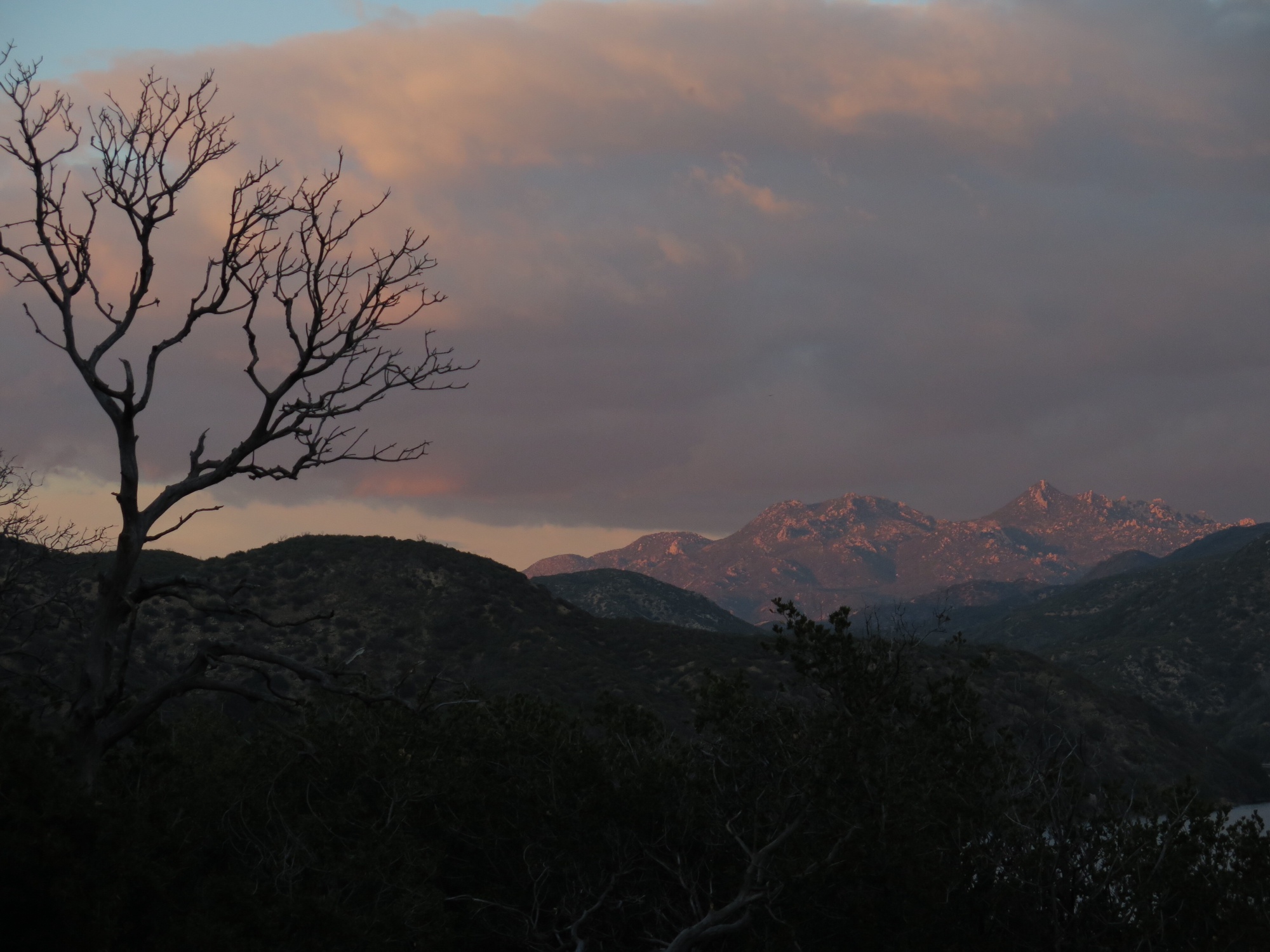
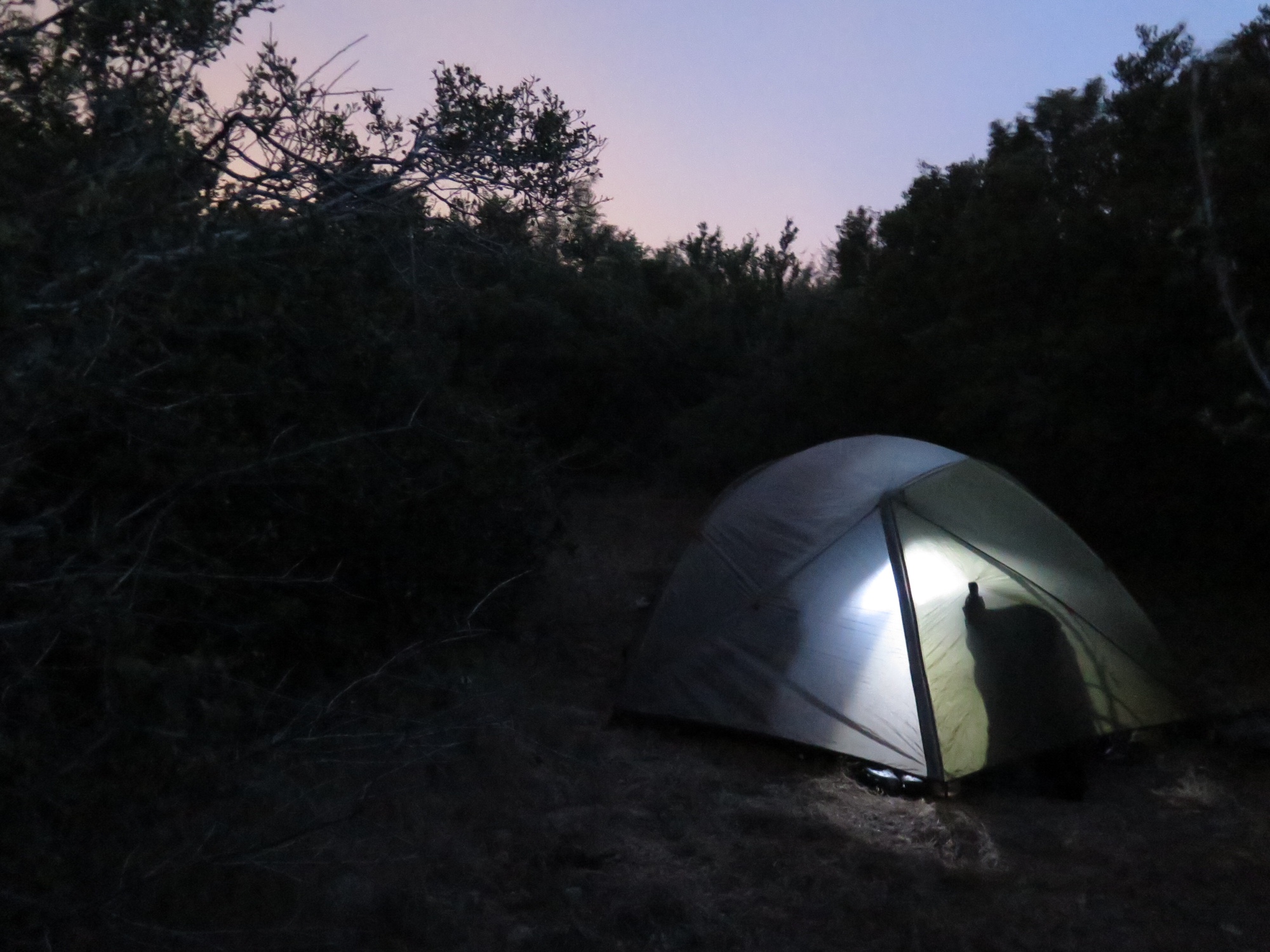
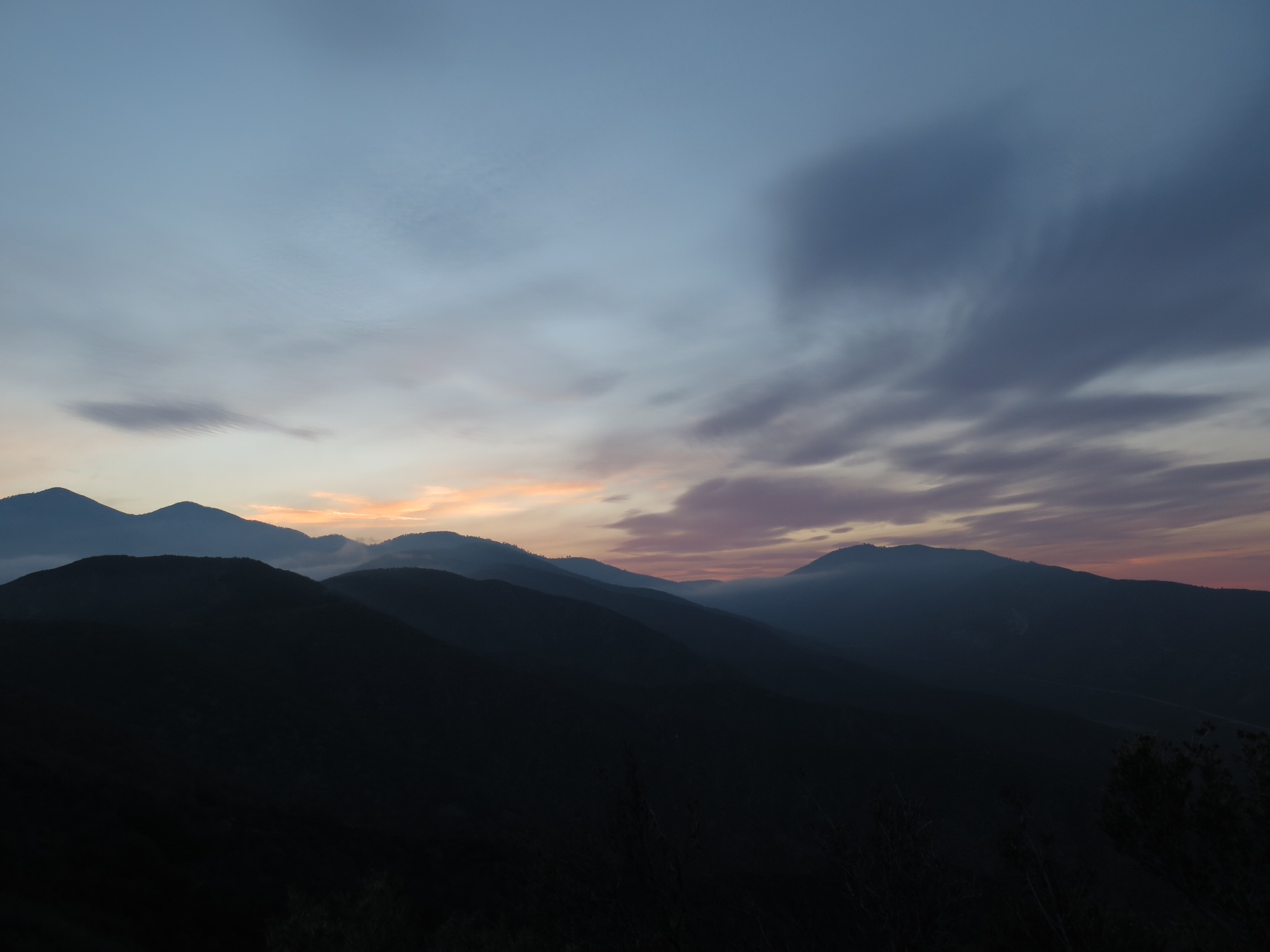
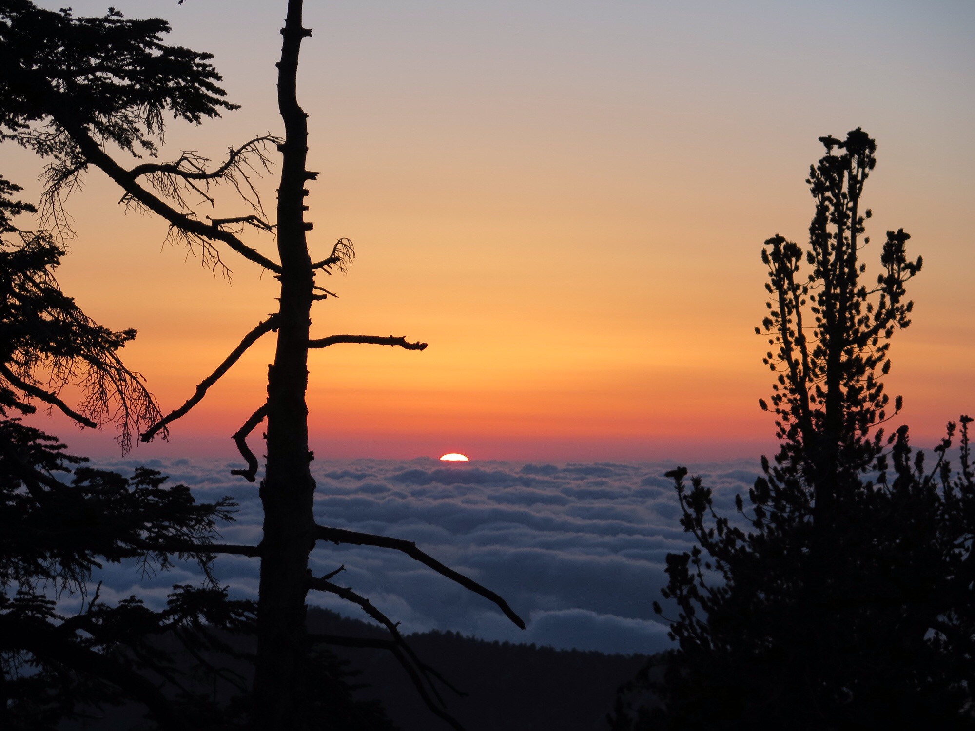
We soon crossed the 1000-mile mark, and, feeling triumphant, proceeded up an unexpectedly epic ridge walk. The views were outstanding, as the picture below from our campsite (literally 10 feet from the tent) will attest:
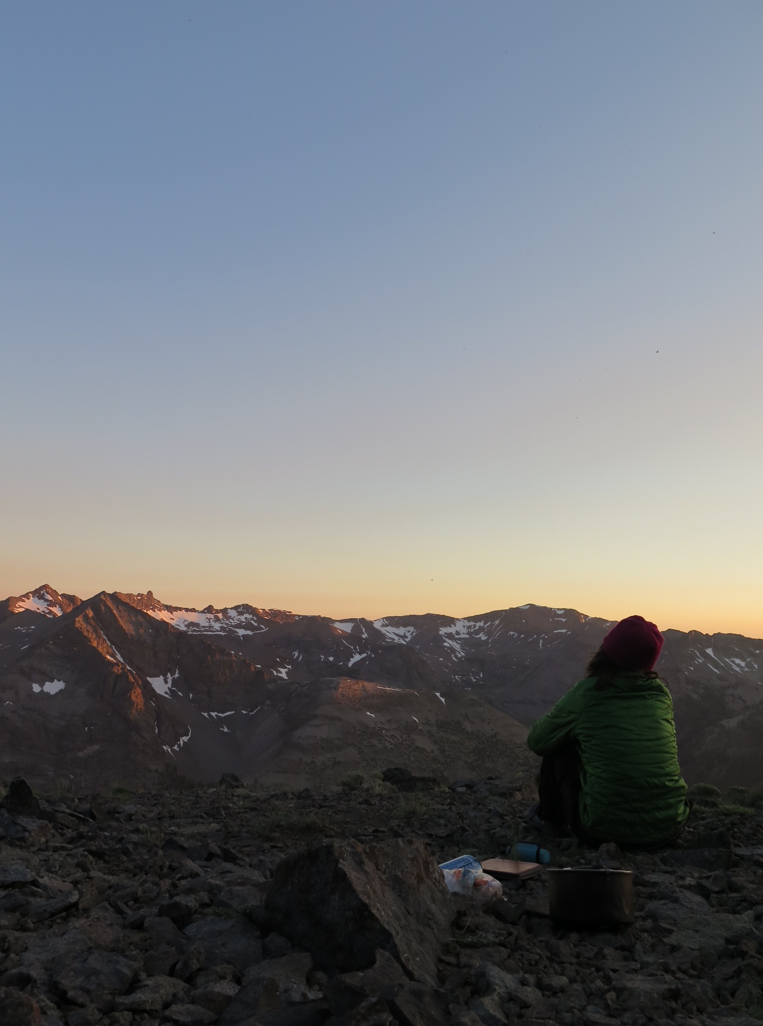
Veggie catches a sunset from our (so far) favorite campsite.
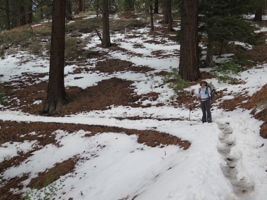
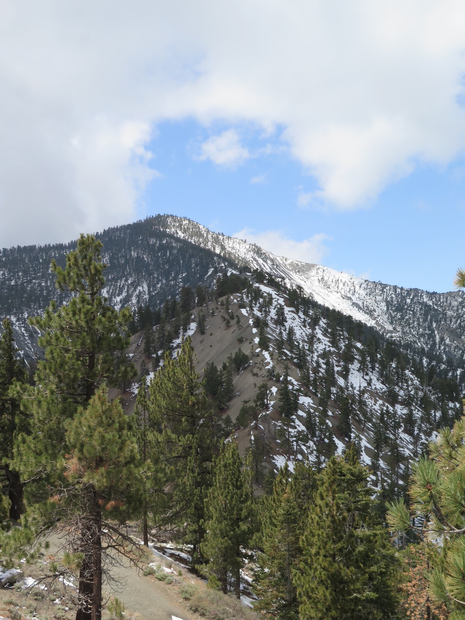
There was snow on the backside of the ridge, even in this dry year, so we cautiously proceeded to Sonora Pass, where we picked up a resupply box and learned that a large (and, as of the time of this post, still growing) wildfire, the Washington Fire, was raging nearby. There were many rumors flying about the severity of the fire and the impact it would have on the trail (the nearby town of Markleeville lay in its path, so highways were being closed), but the official word was that the trail remained open. Others who had come from the north reassured us that we might see smoke, but that there was no real danger on the PCT. Fortunately, that was our experience, too. Some haze one day, but otherwise entirely clear. In the distance during the day, we saw plumes of smoke and steam rising from a few ridges over.

View of the Washington Fire from the PCT, near Ebbetts Pass.
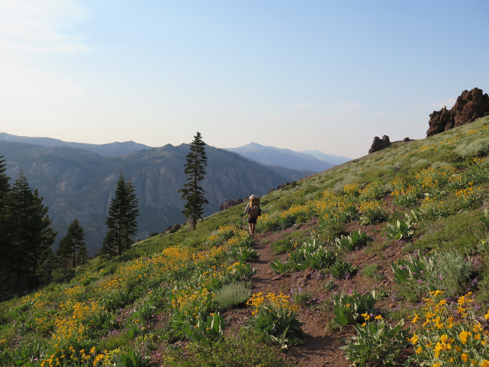
After sidestepping the fire, we were surprised to find an abundance of wildflowers in a Land of the Lost-esque landscape. It was surreal:
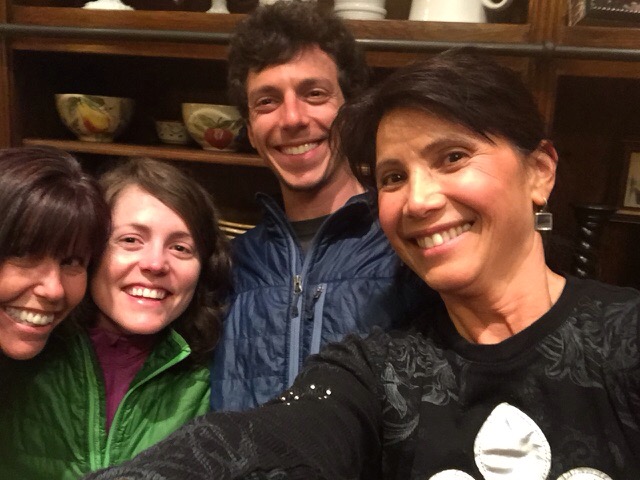
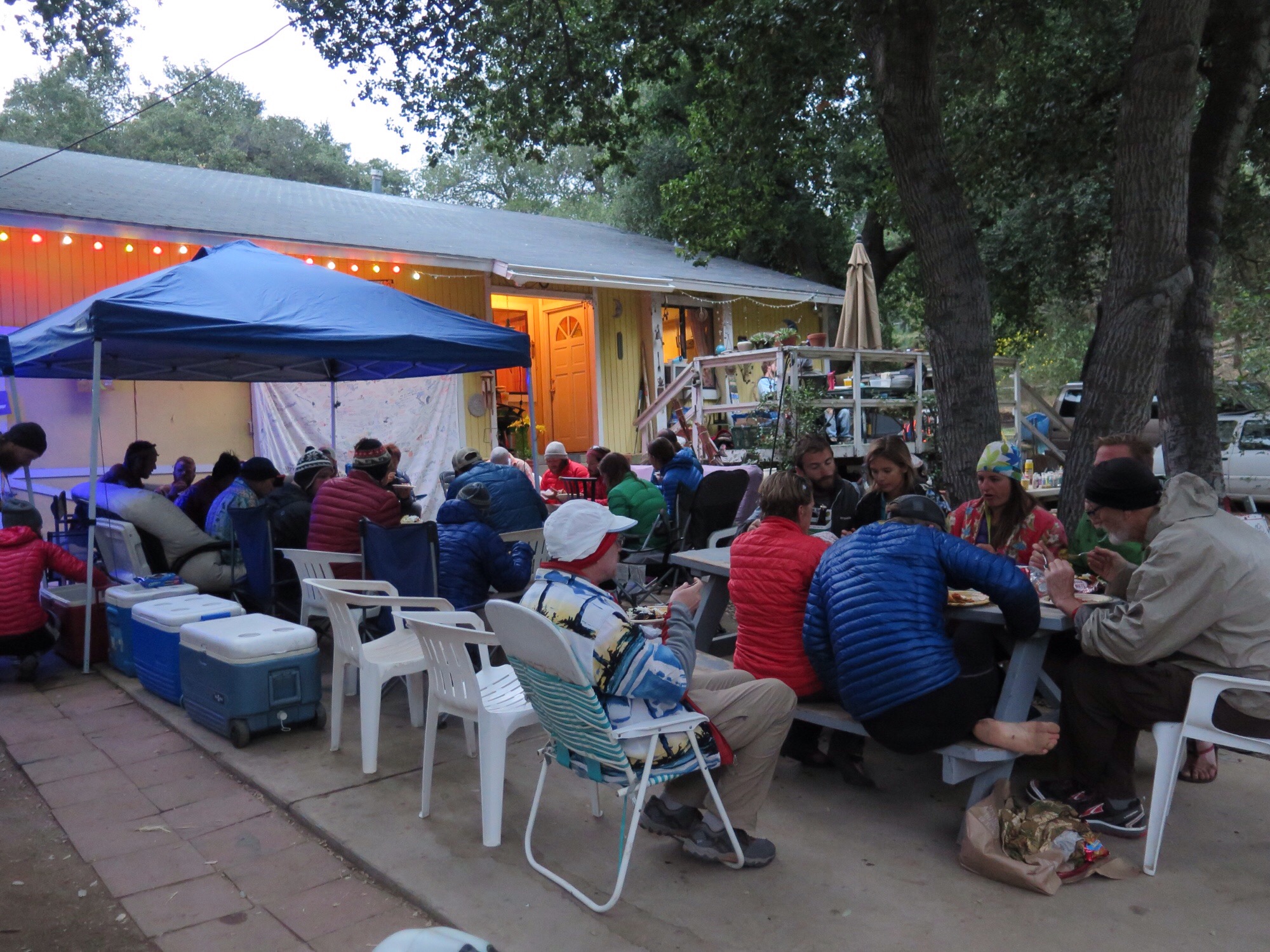
In sum, it’s been an unusually diverse 10 days. We now sit with our friends Pixel and Shazam in South Lake Tahoe. Appalachian Trail AND Pacific Crest Trail alums, they know just what hikers need on a day off. We’re grateful to be with them, and eager for what’s to come.
Love,
Zack (Square)