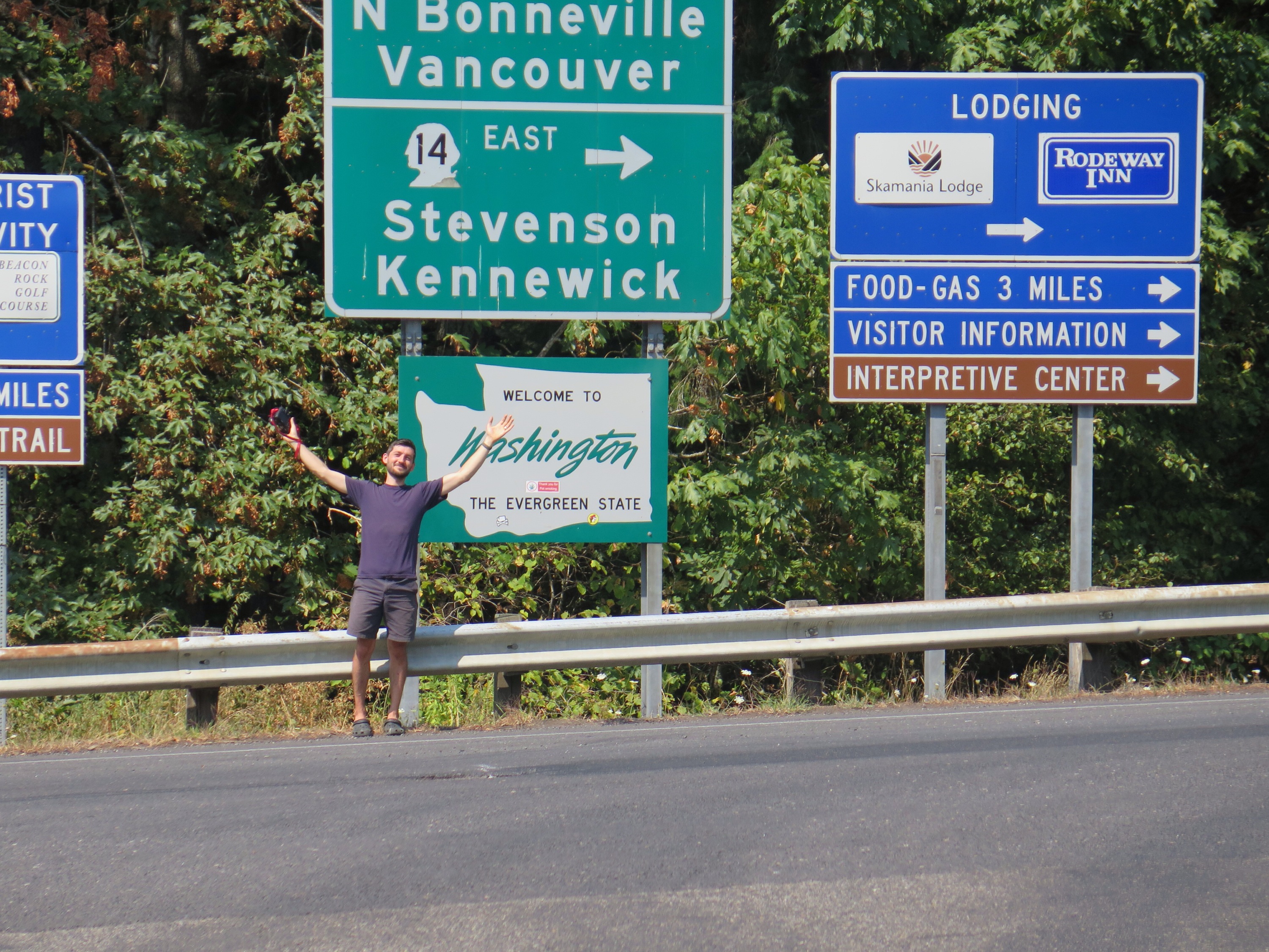
Spoiler alert: we made it to Canada!
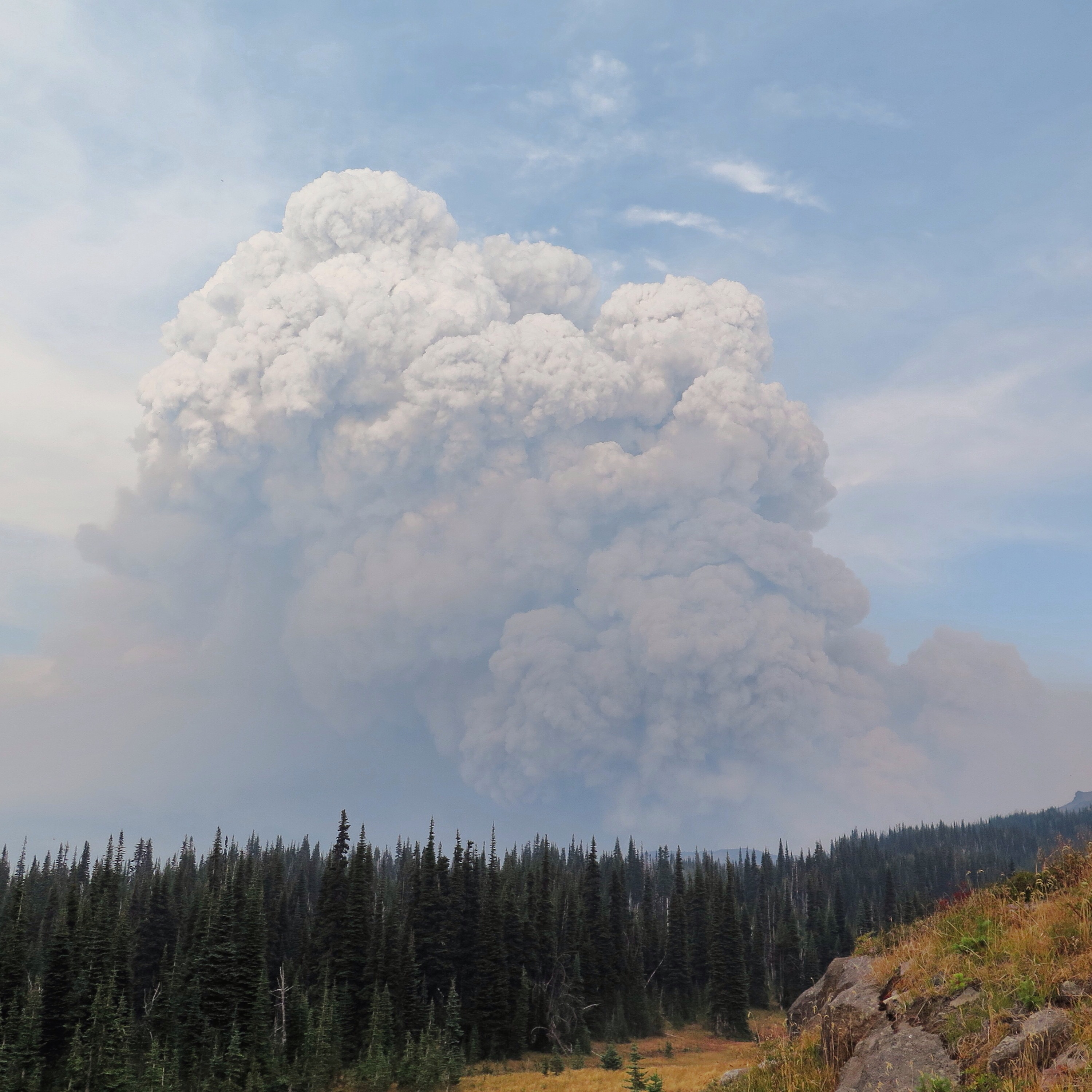
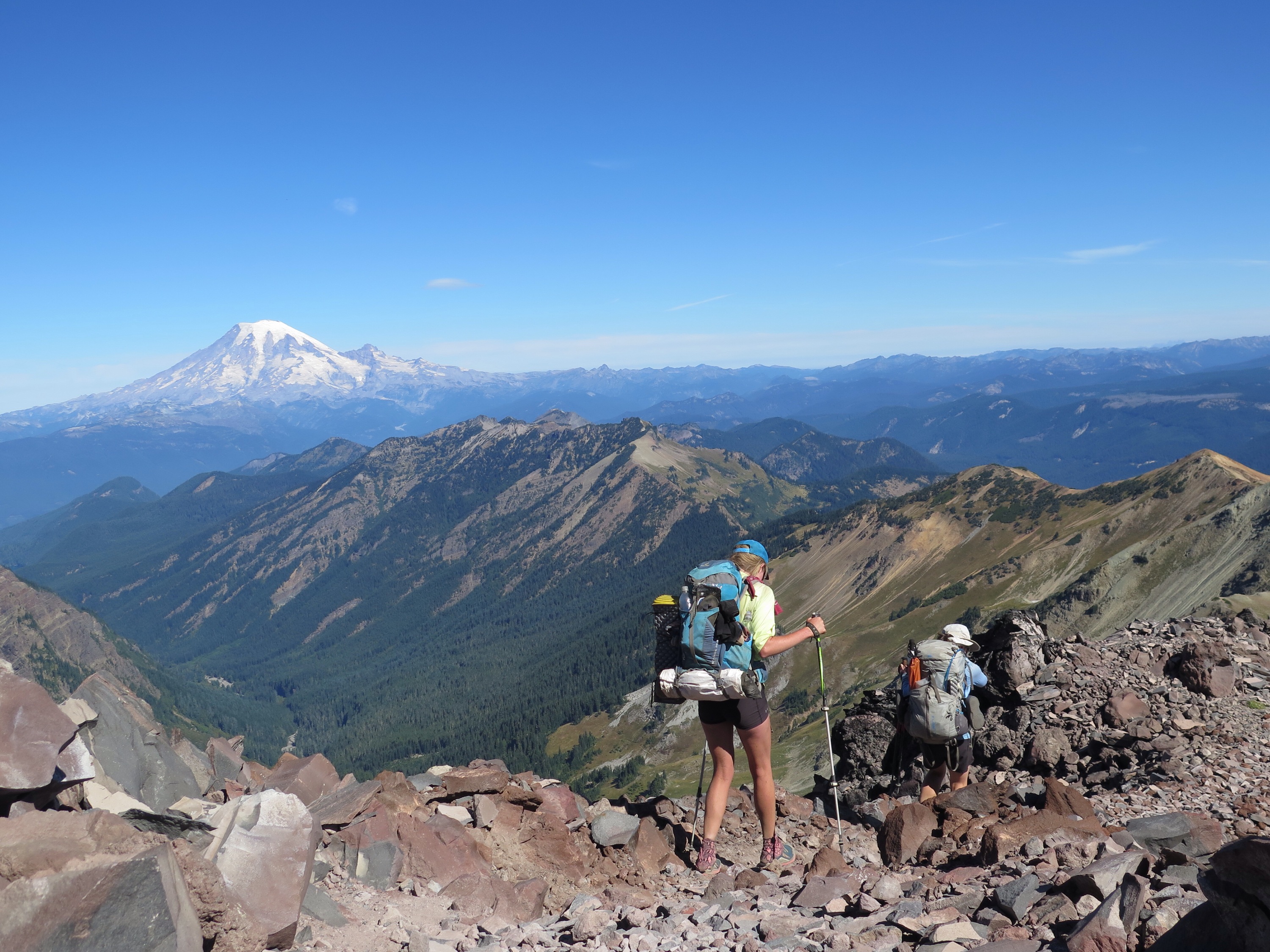
Veggie will be offering concluding thoughts shortly (look out for “The End, Part 2”), but I want to take a few minutes to pay tribute to Washington’s beautiful Northern Cascades. Per our last post, we were amazingly lucky to “thread the needle,” so to speak, between two significant fire closures affecting the PCT. The Washington section of the trail is always imbued with emotion for thru-hikers, but, taking our first steps onto trail we’d long-assumed would be closed, we experienced a kind of sensitive disbelief. “Here you are, so tread lightly. And don’t complain. About anything. Especially rain.”
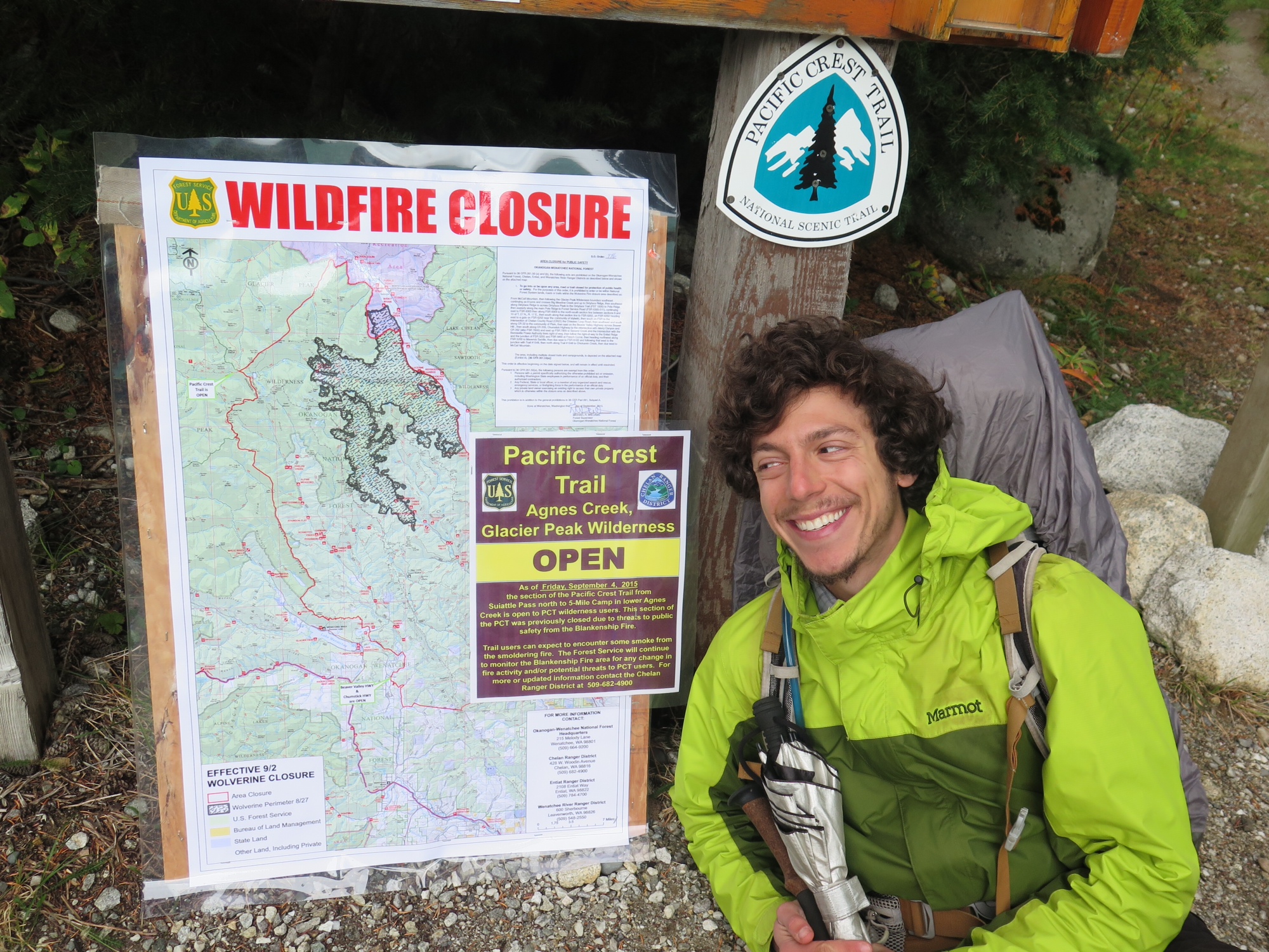
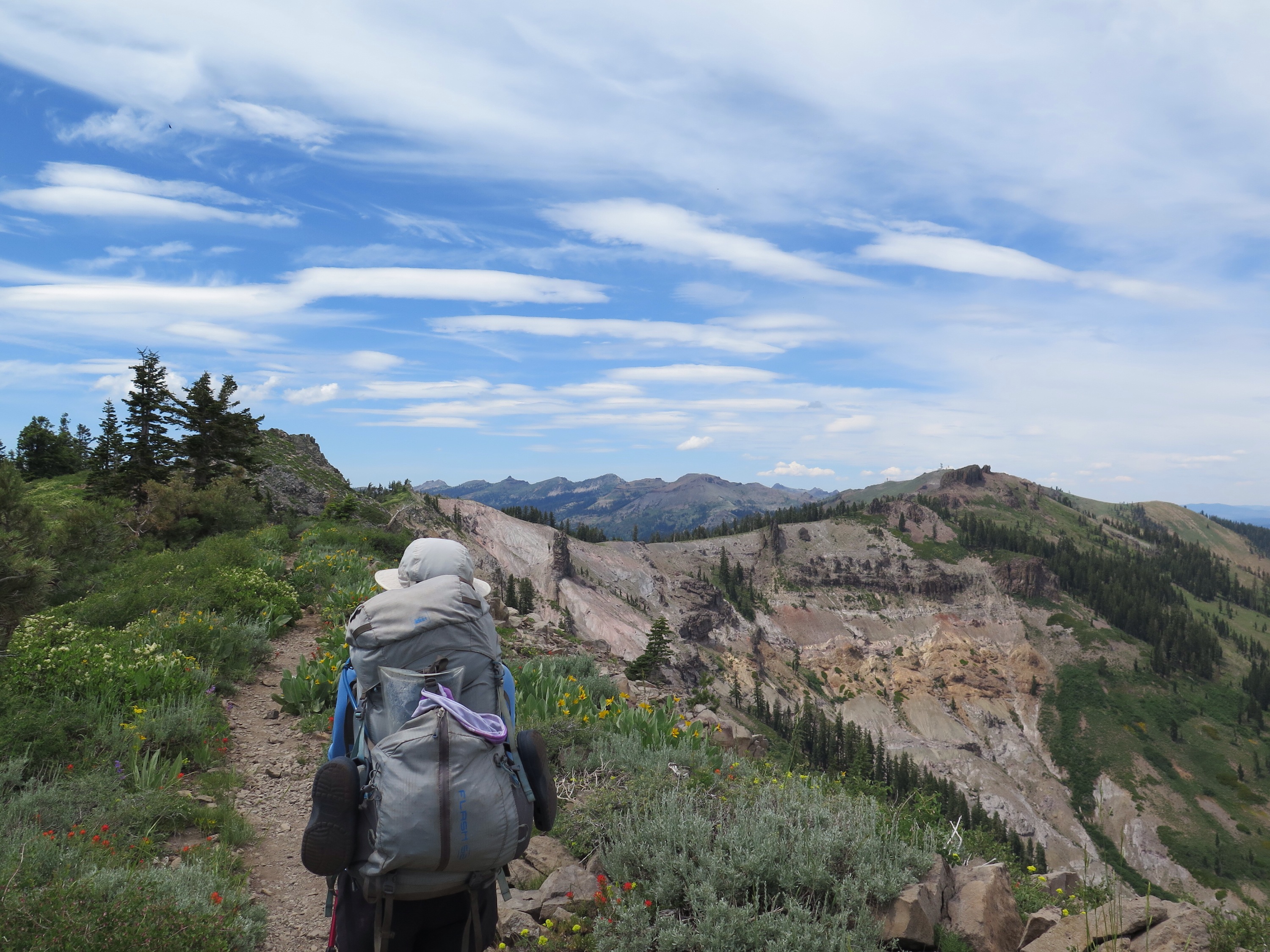
Section K, here we come.
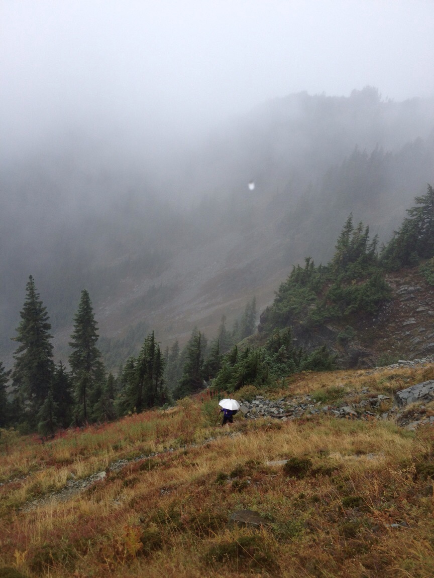
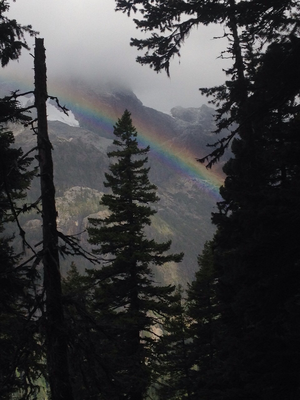
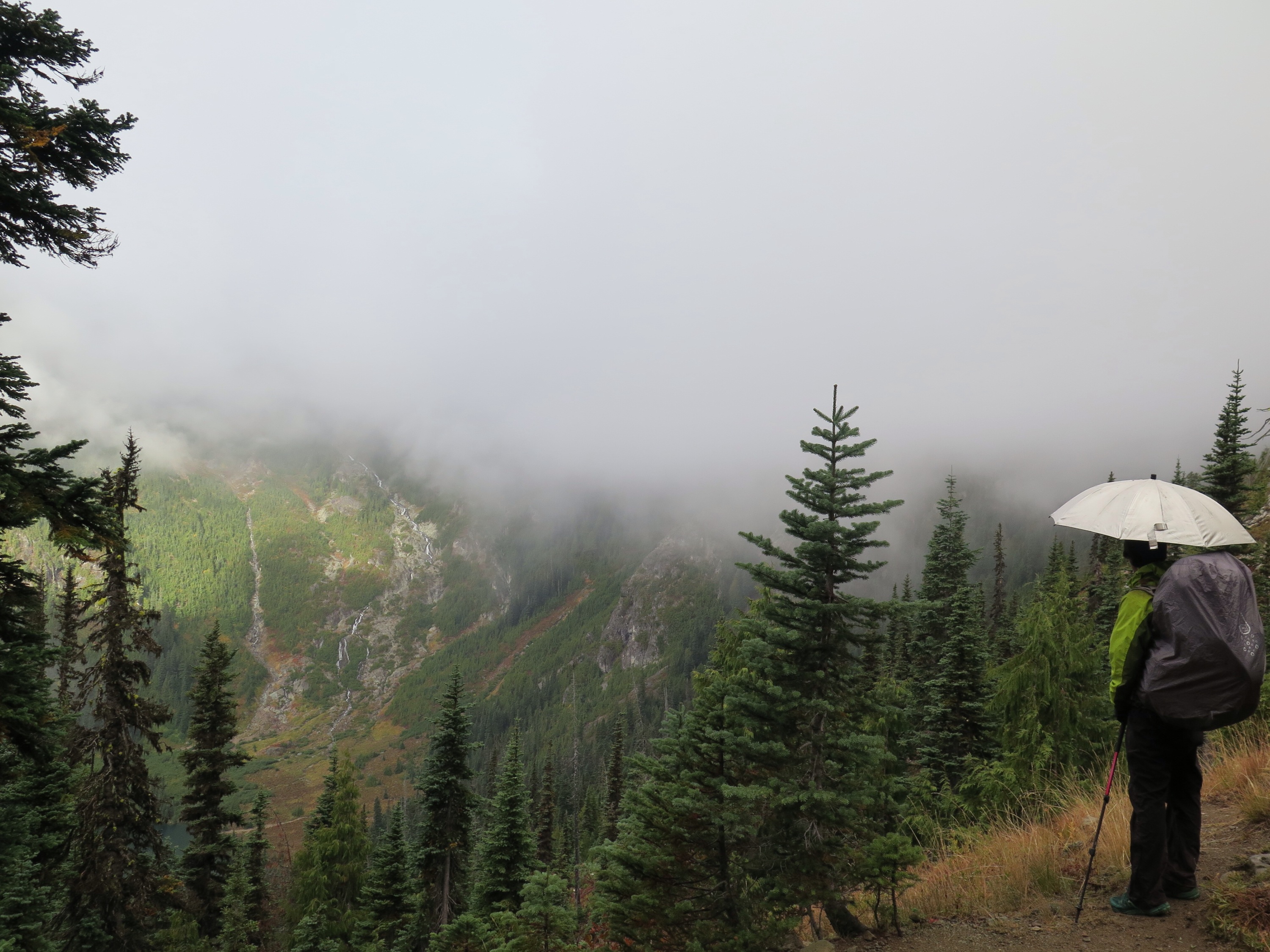
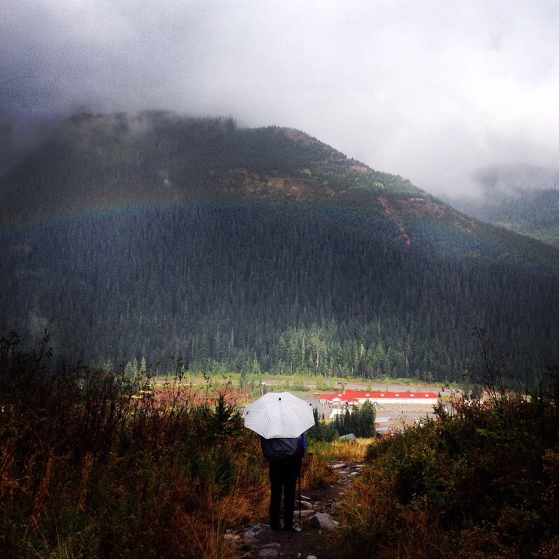
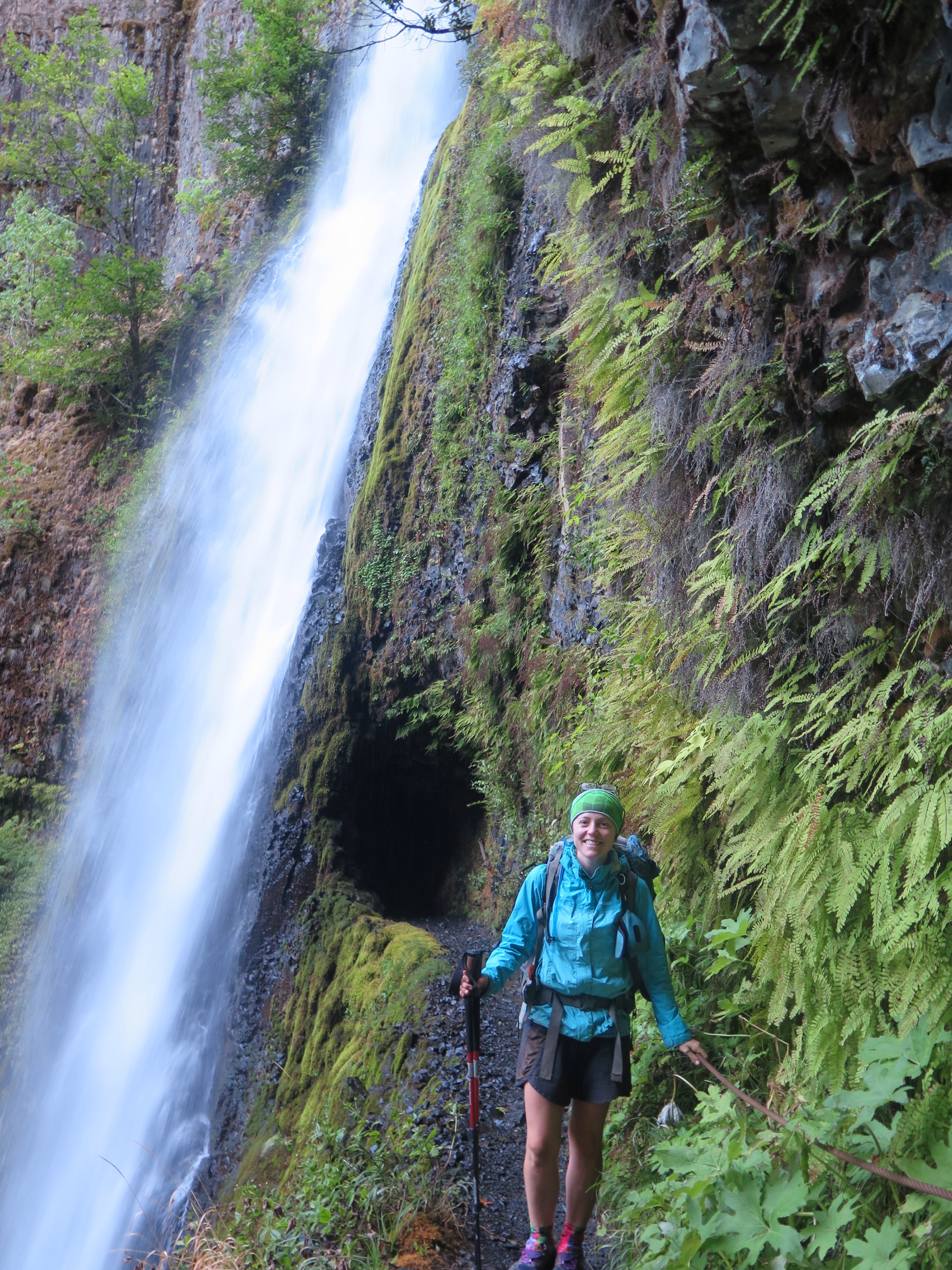
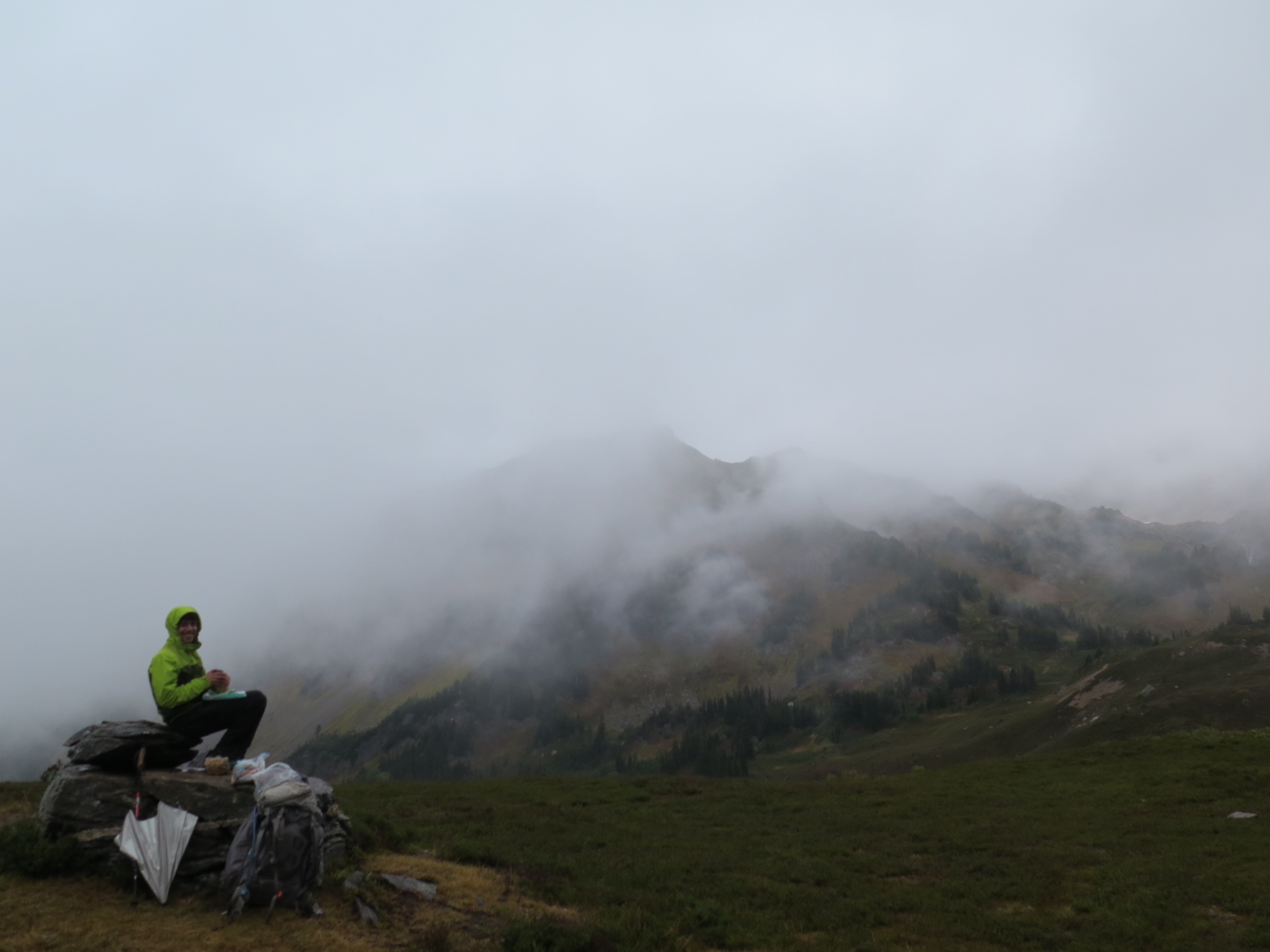
It was Labor Day weekend, so the woods were full of day hikers and campers on their way to Lake Valhalla (a worthy home for any Norse diety), or up into the Glacier Peak Wilderness for a few nights. Forecasts predicted that the weather would abate, but not until we were all treated (surprise!) to an overnight dusting of snow. Our feet felt like popsicles in our trail runners the next morning, then half-melted popsicles that afternoon. But the scenery – what we could see of it through the fog – seemed even more beautiful with an added coating of white. We felt thoroughly prepared with our rain gear, gloves, and umbrellas, but saw a few shivering hikers rush down the mountain back to civilization, chanting mantras about cheeseburgers, hot coffee, and beer.

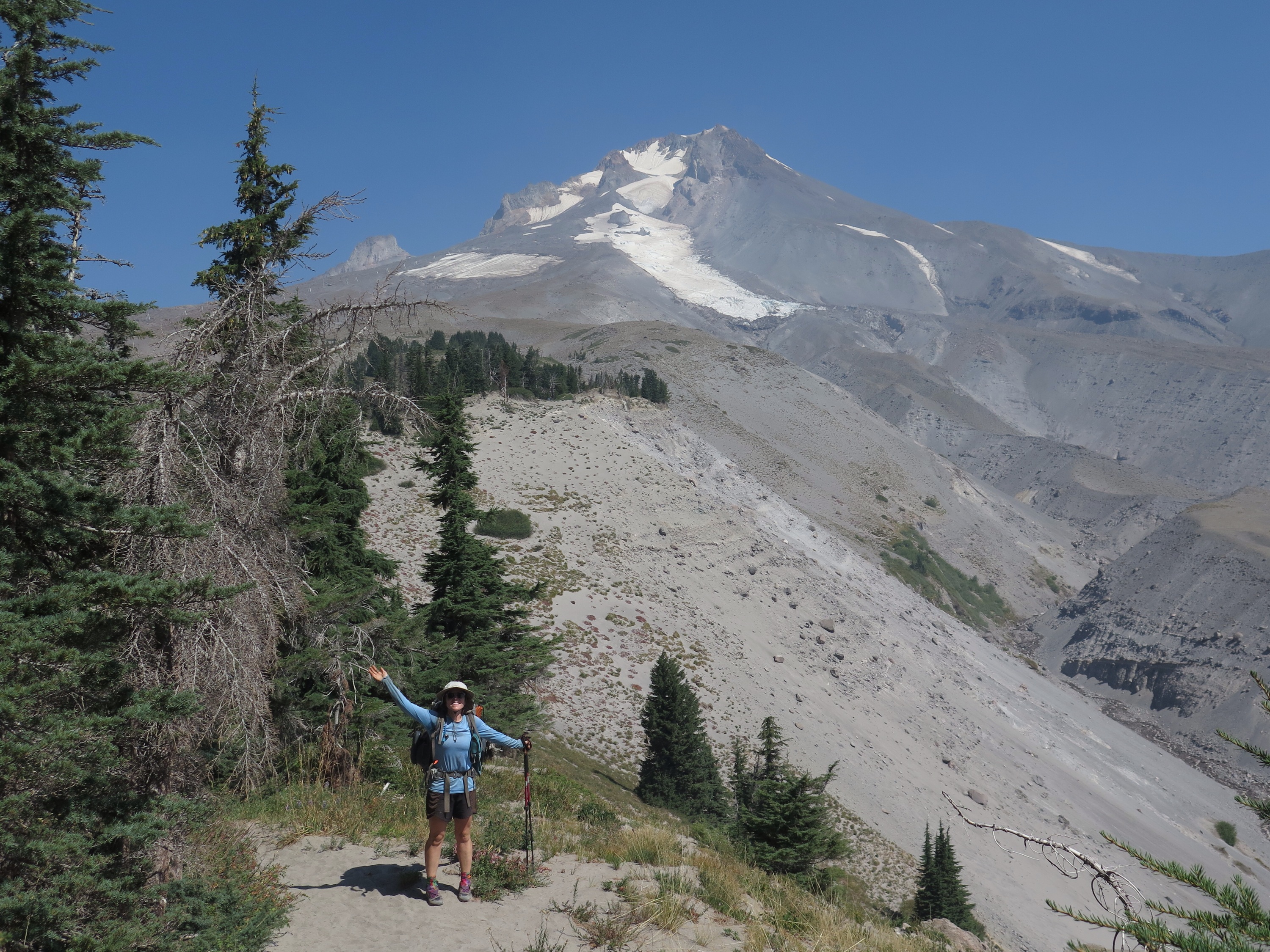
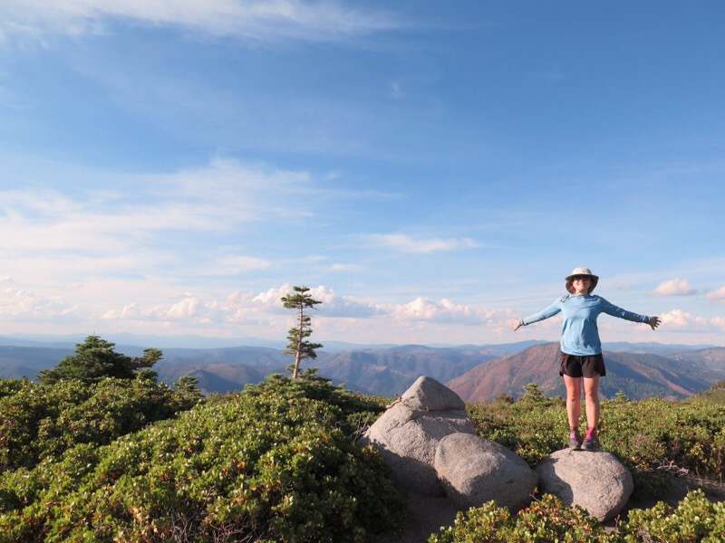
Veggie ventures into Labor Day snowfall.
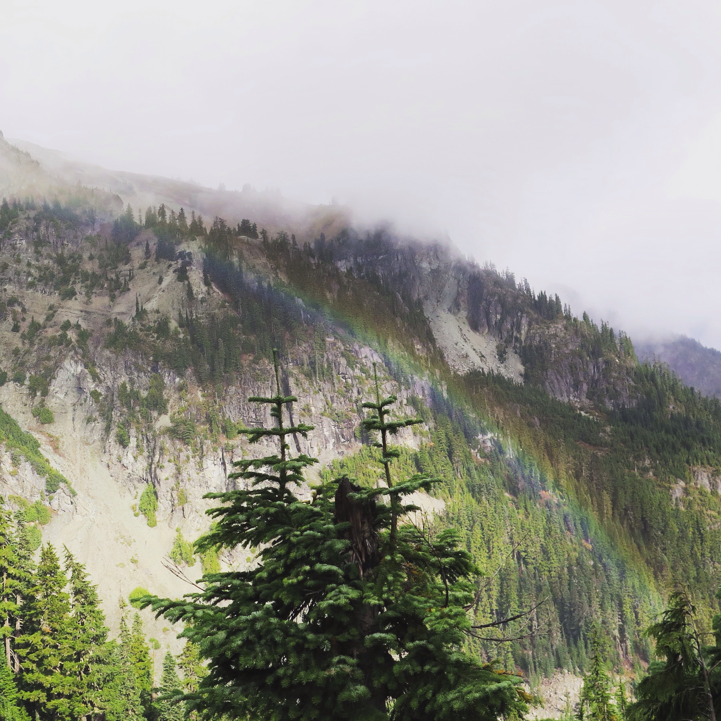
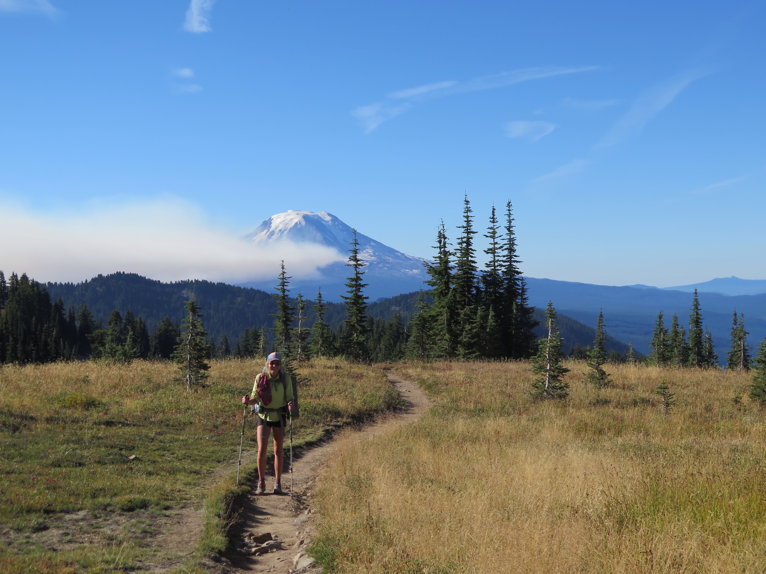
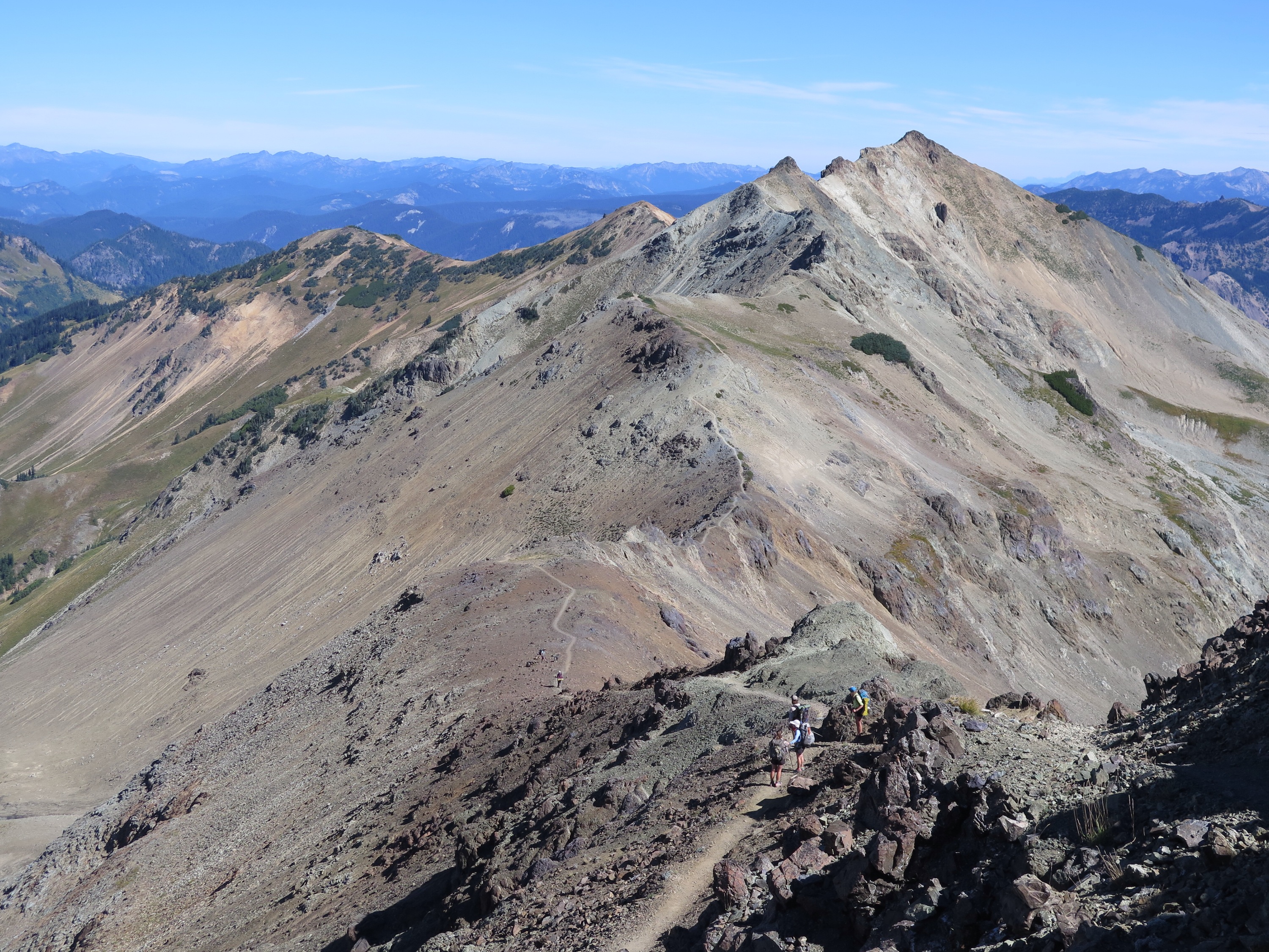
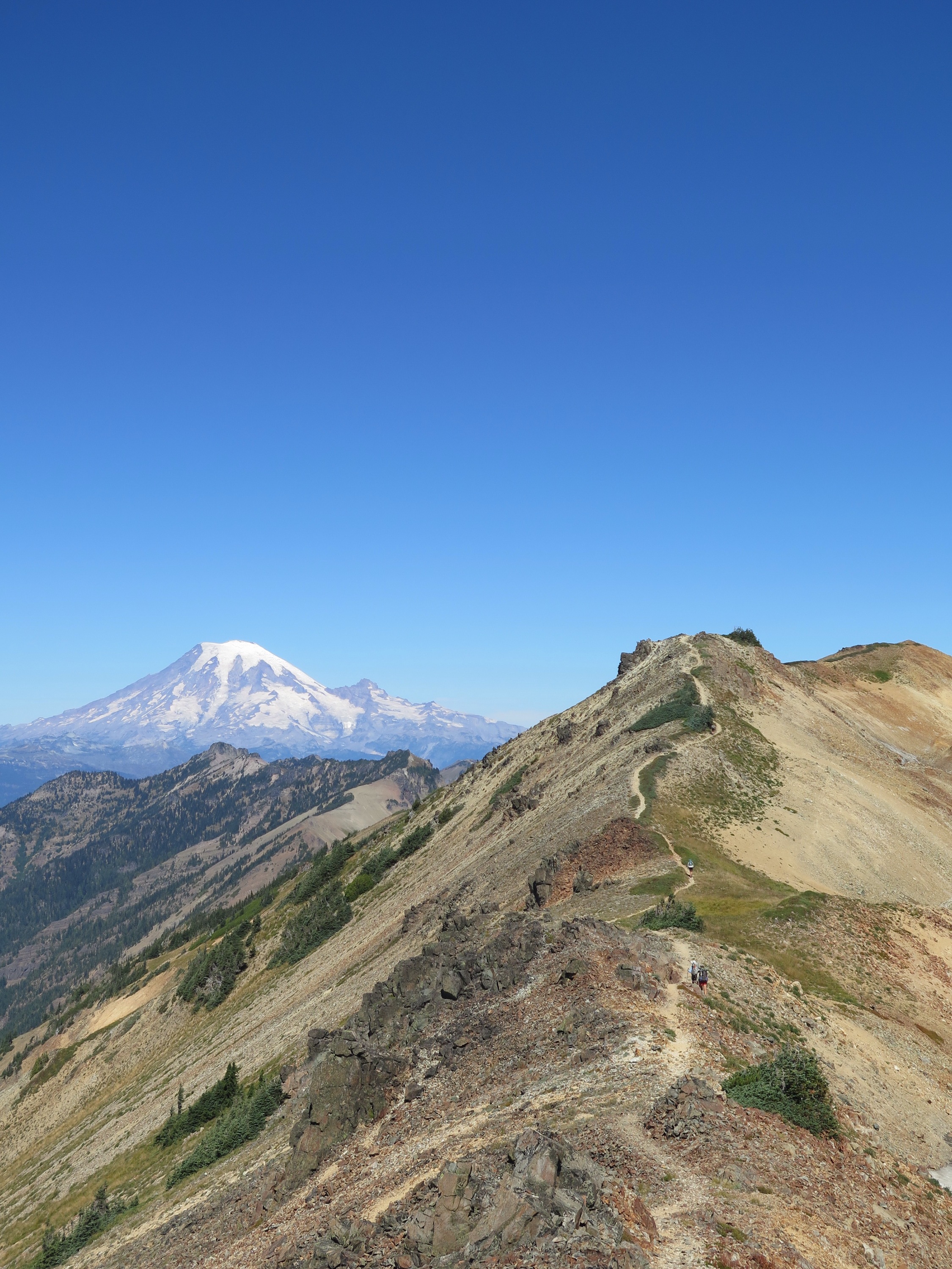
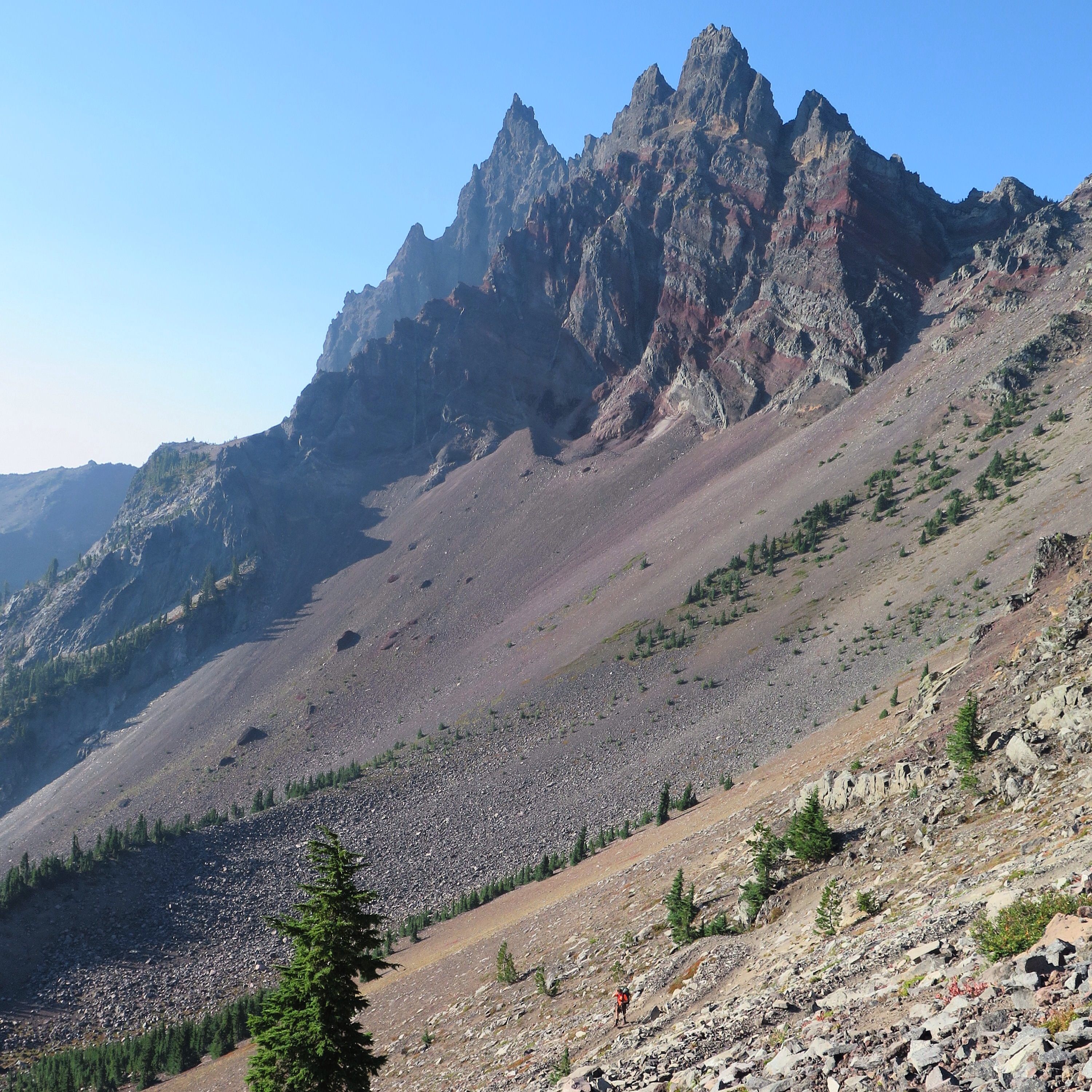
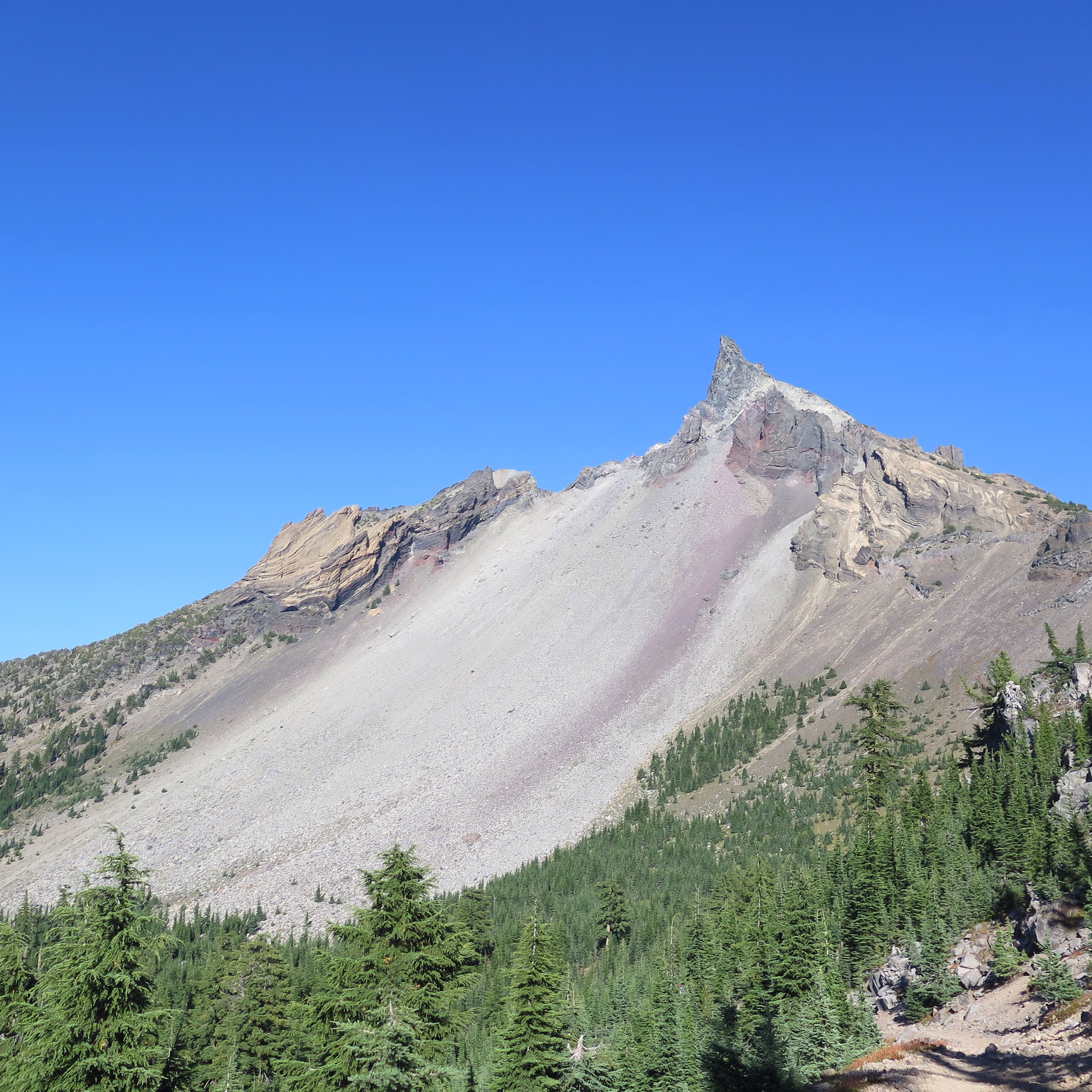
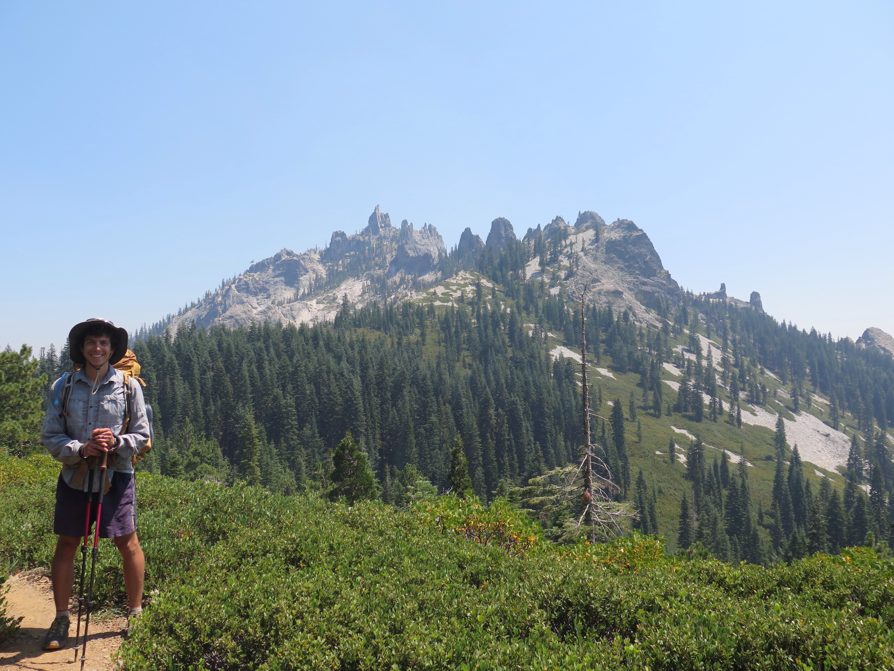
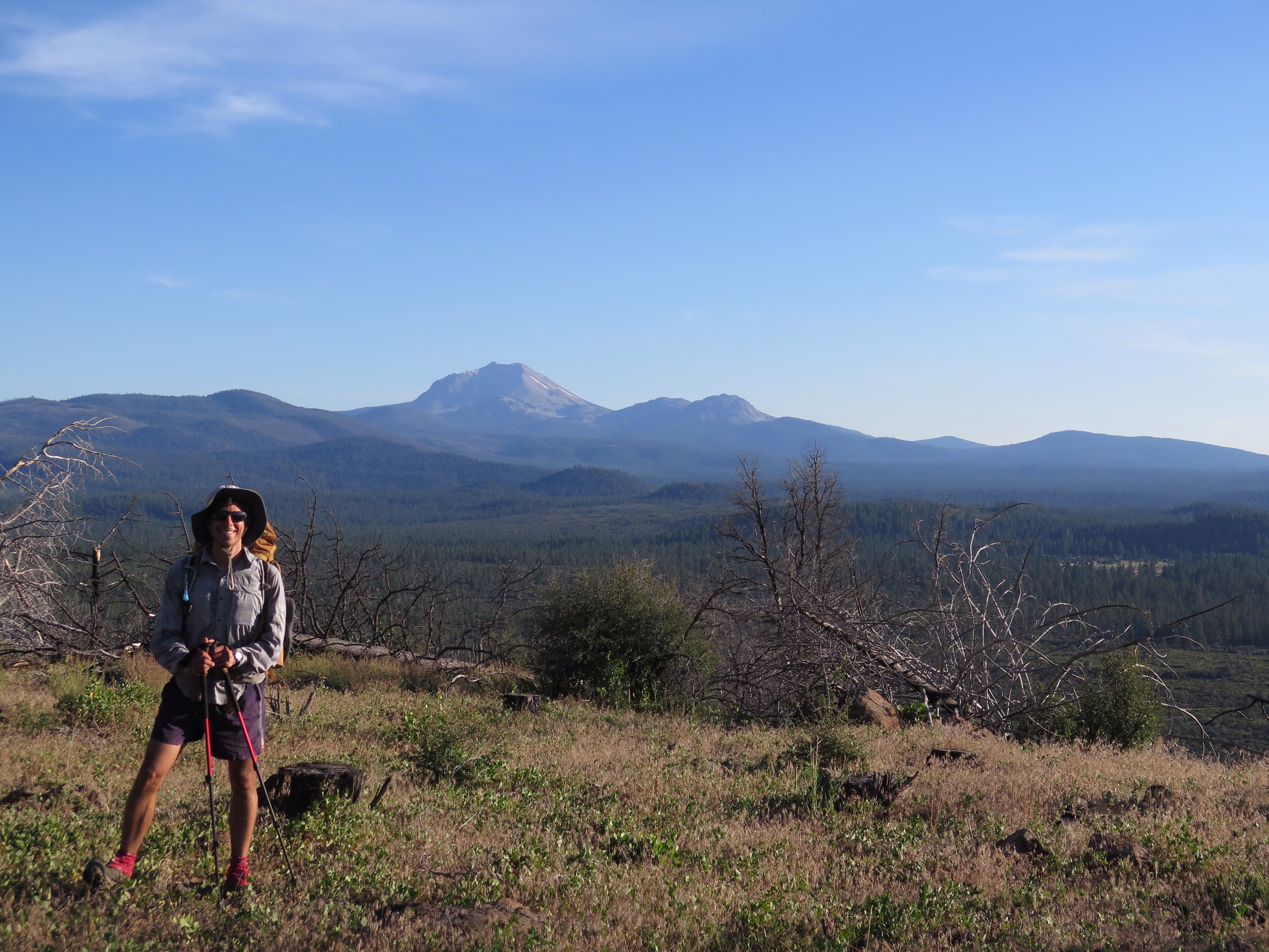
Over the next few days, the sun slowly emerged. Section K proved to be fairly challenging hiking, which made us even more grateful to be walking it now, with our thru-hiker legs, than in the future, when we’d be starting from scratch. The big elevation changes brought great rewards though, leading us to adopt the new motto “Washington Delivers.”
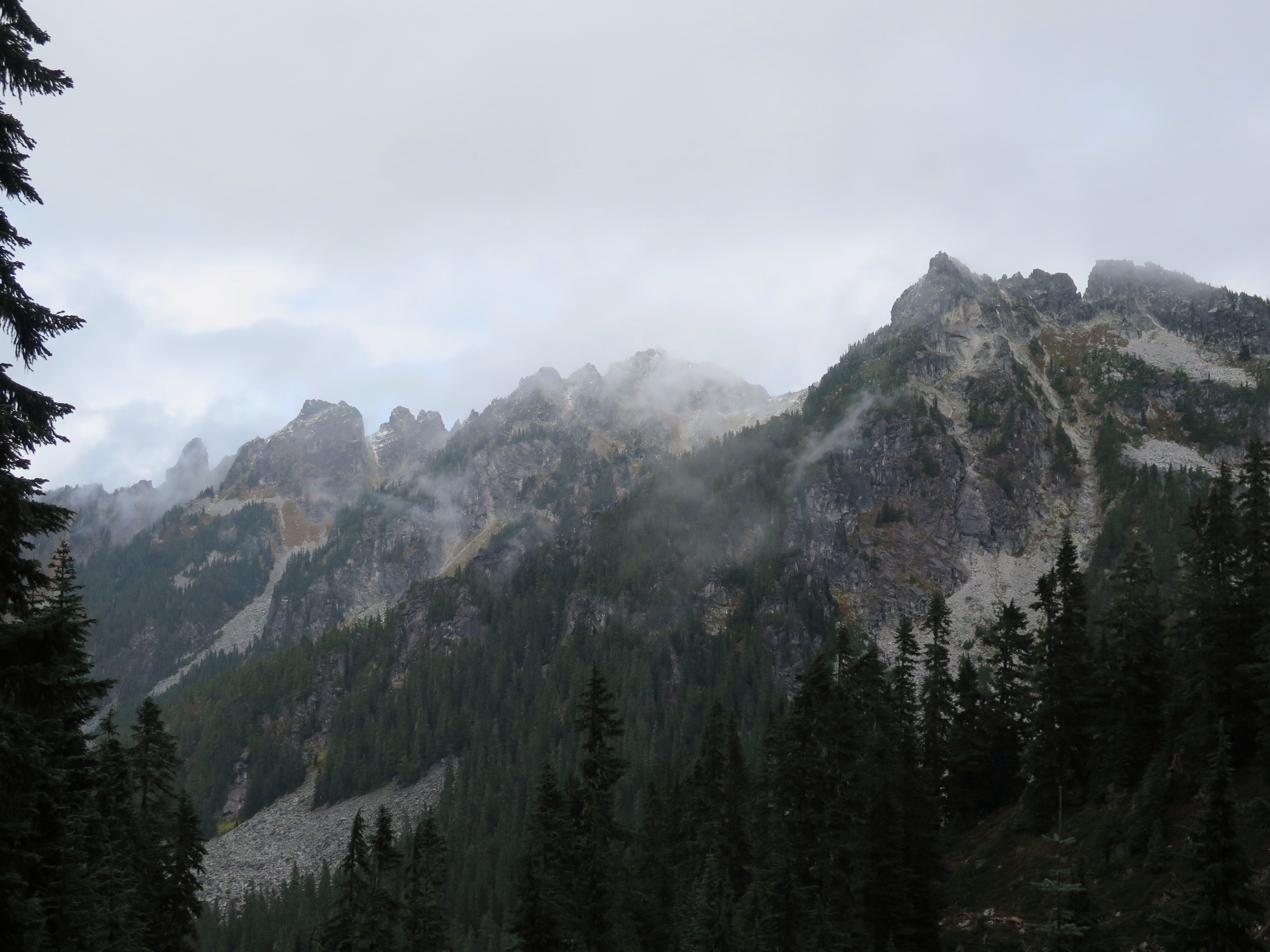
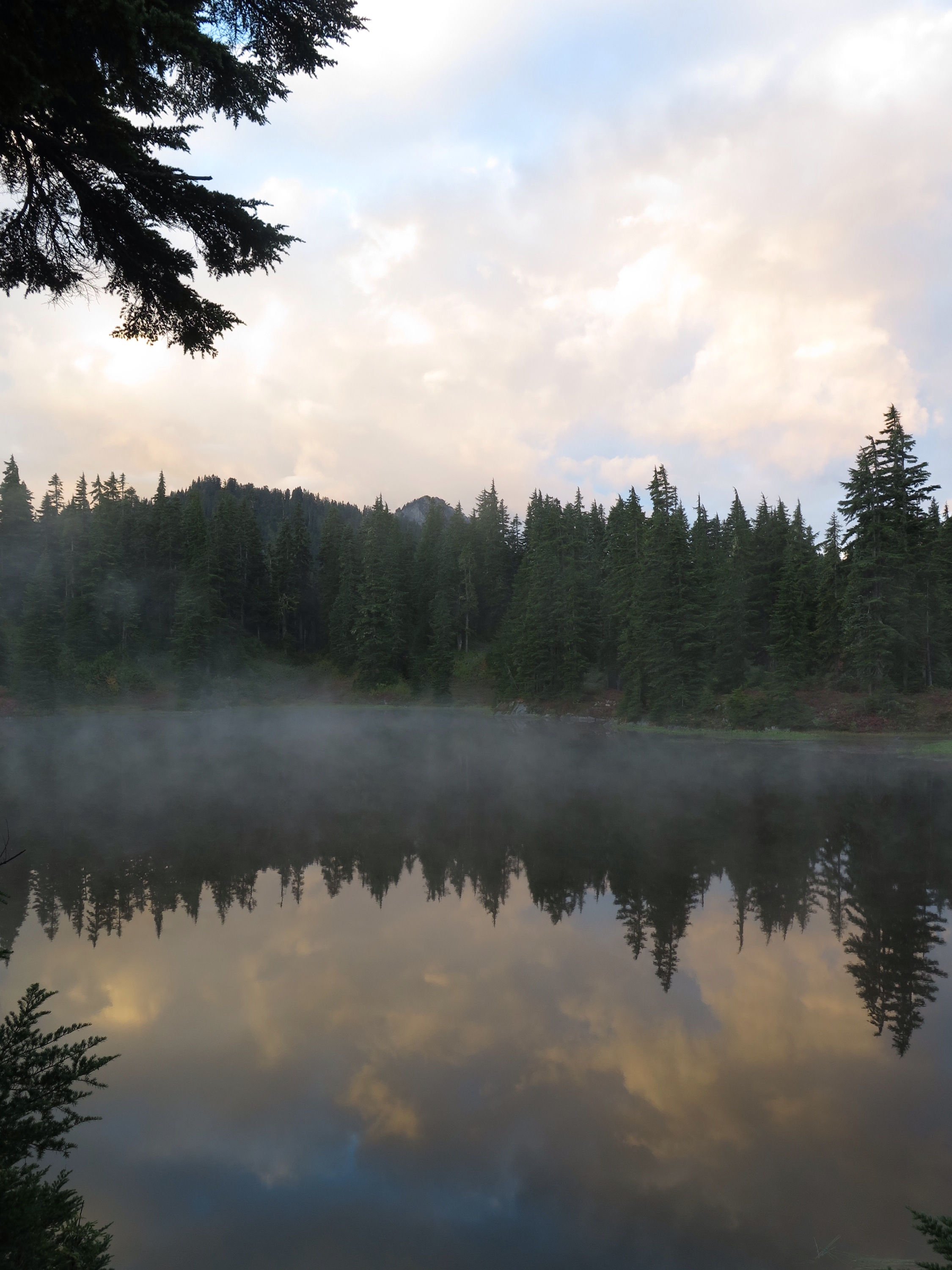
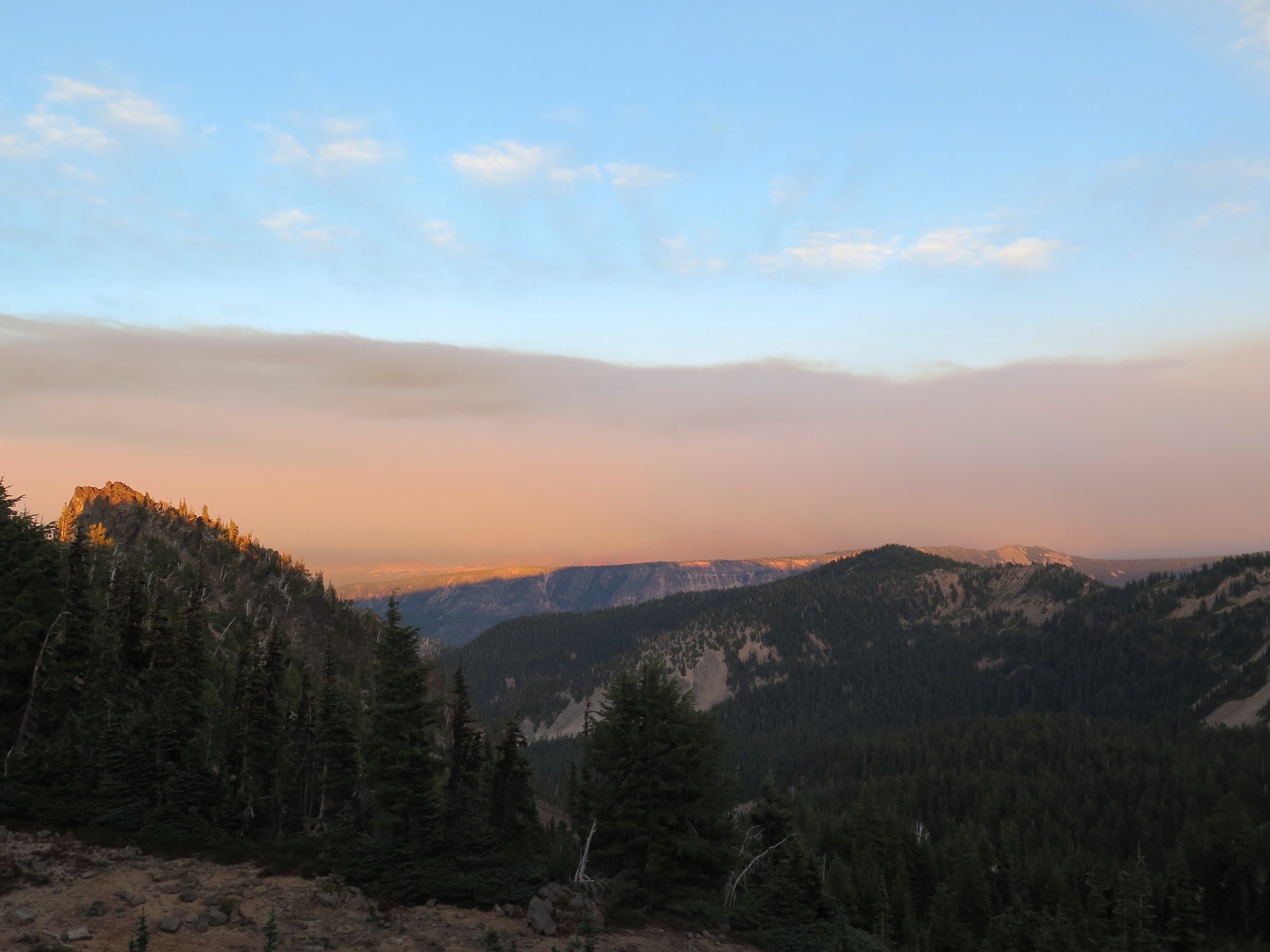
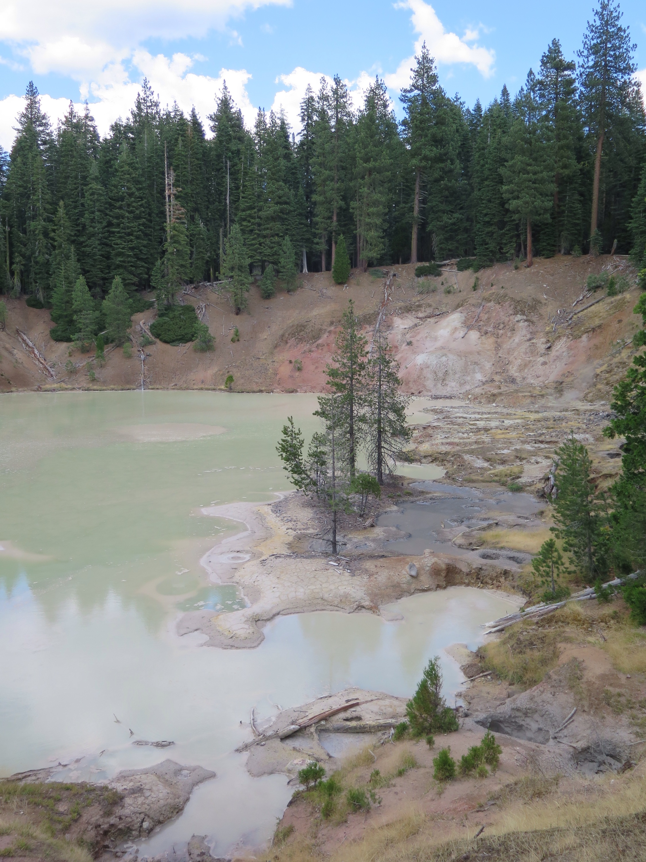
Fog, fog, fog.
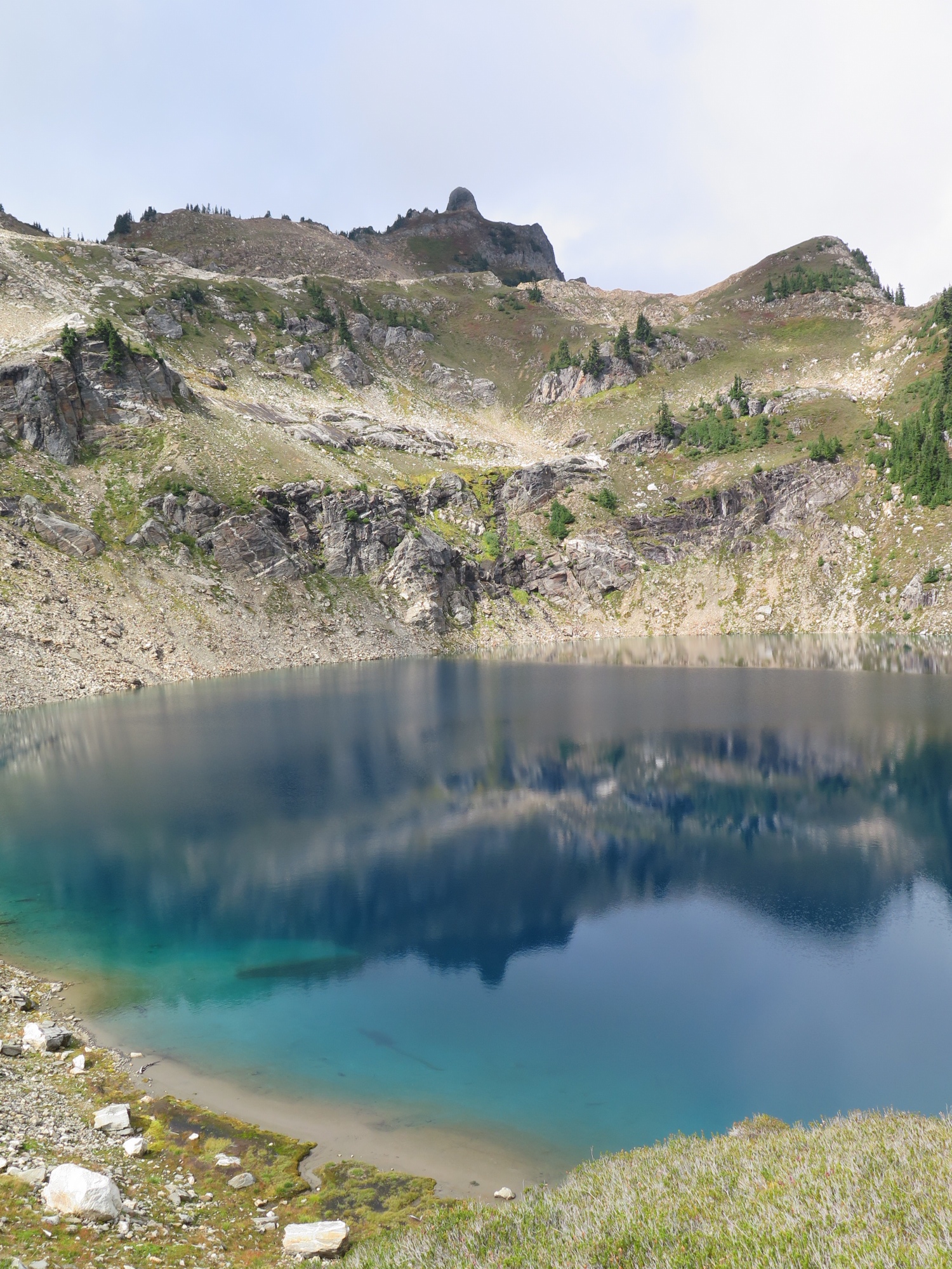
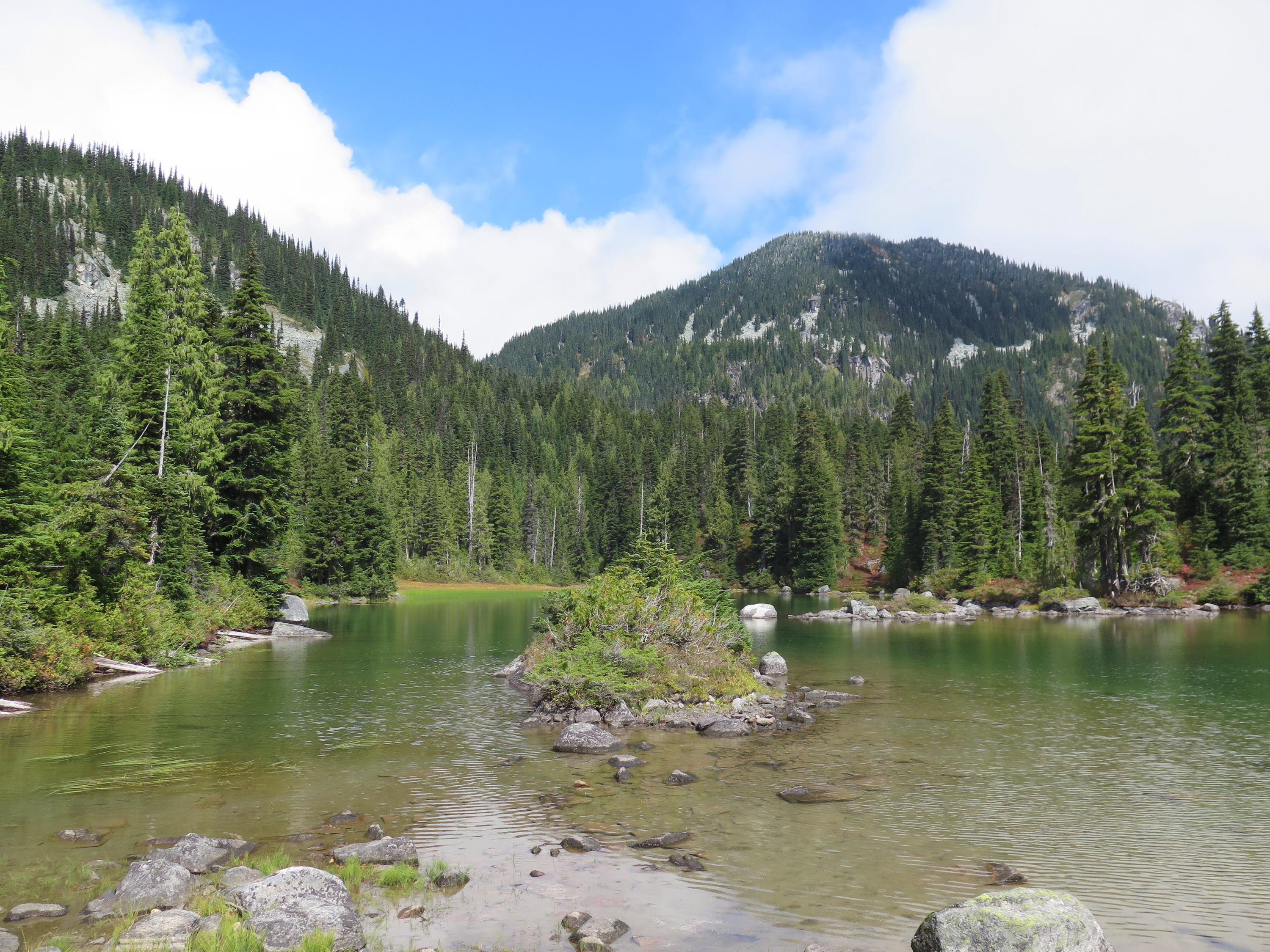
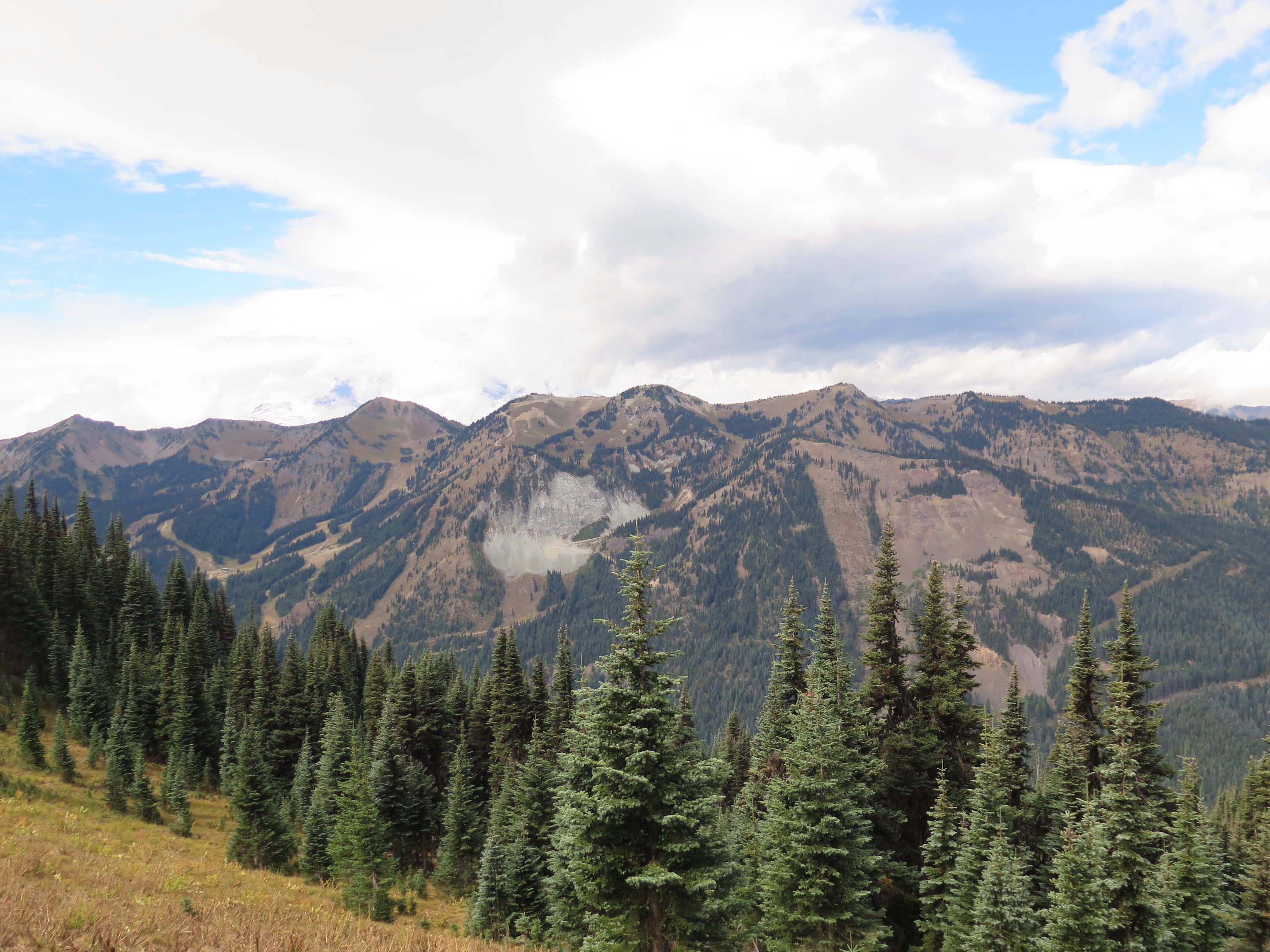
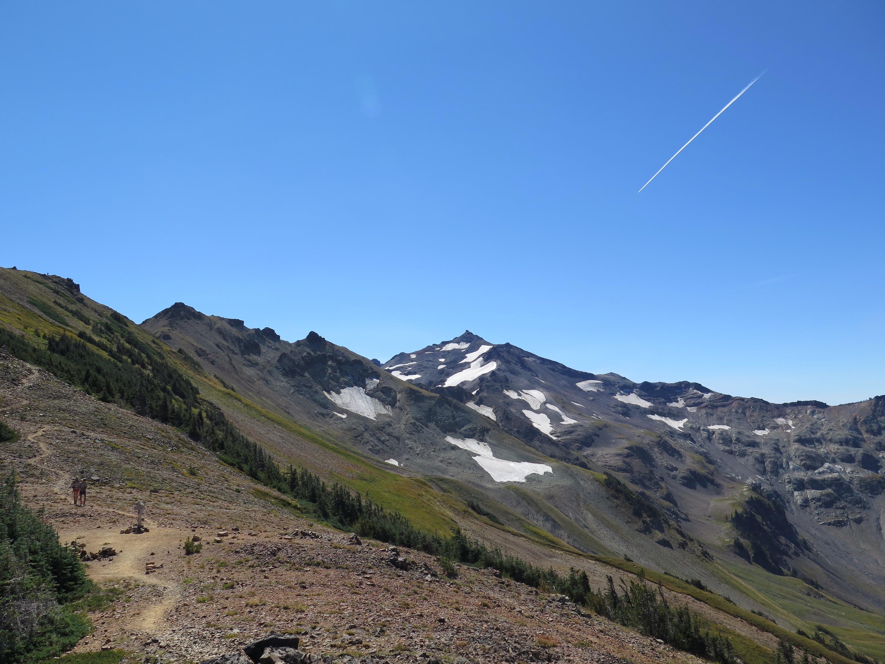
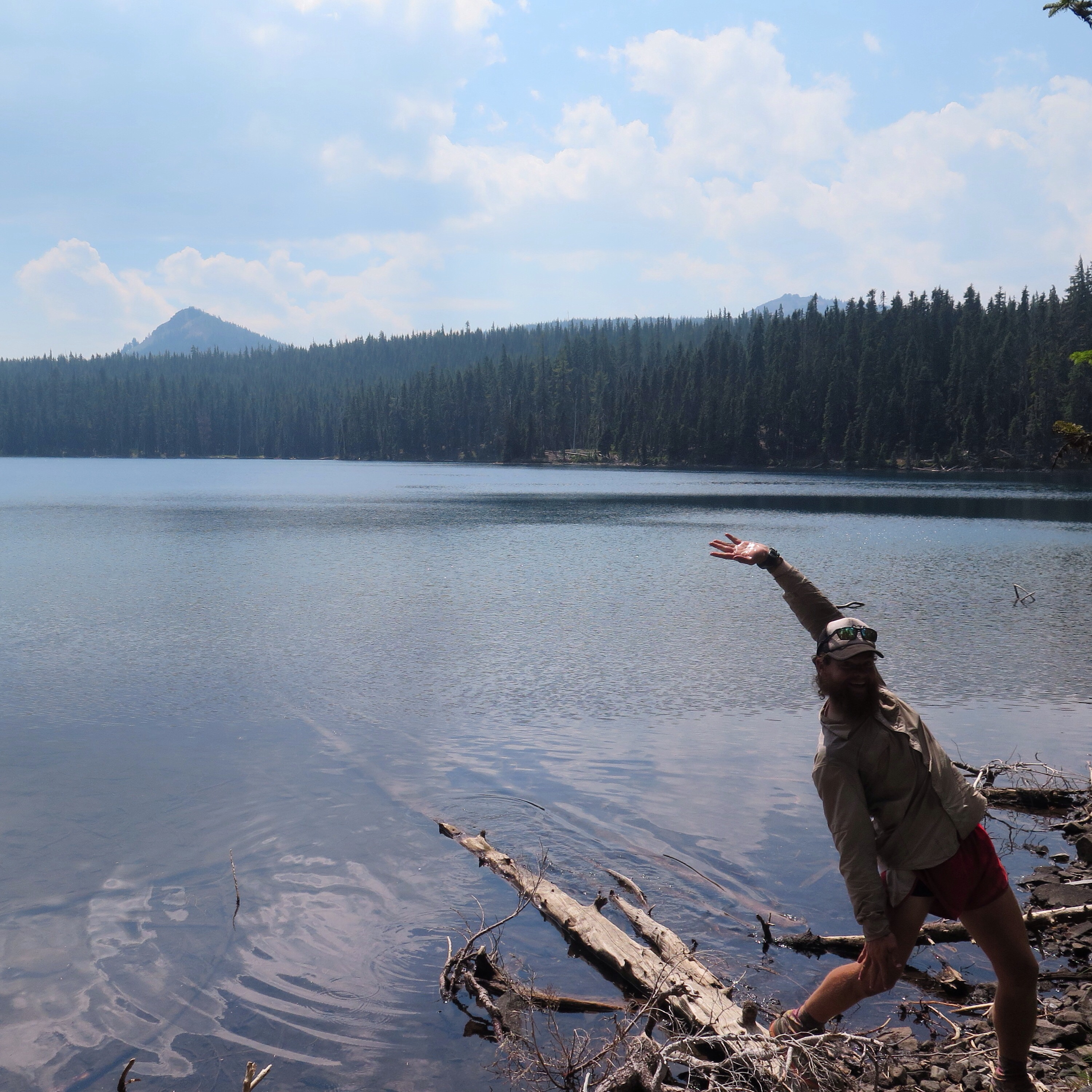
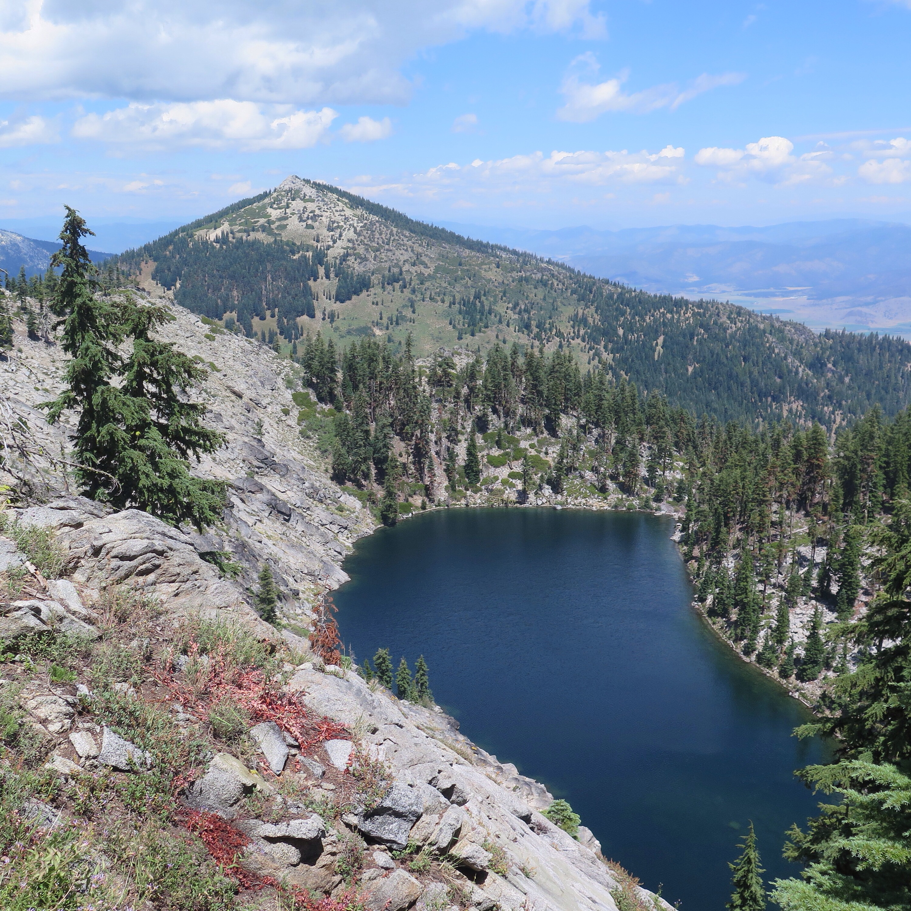
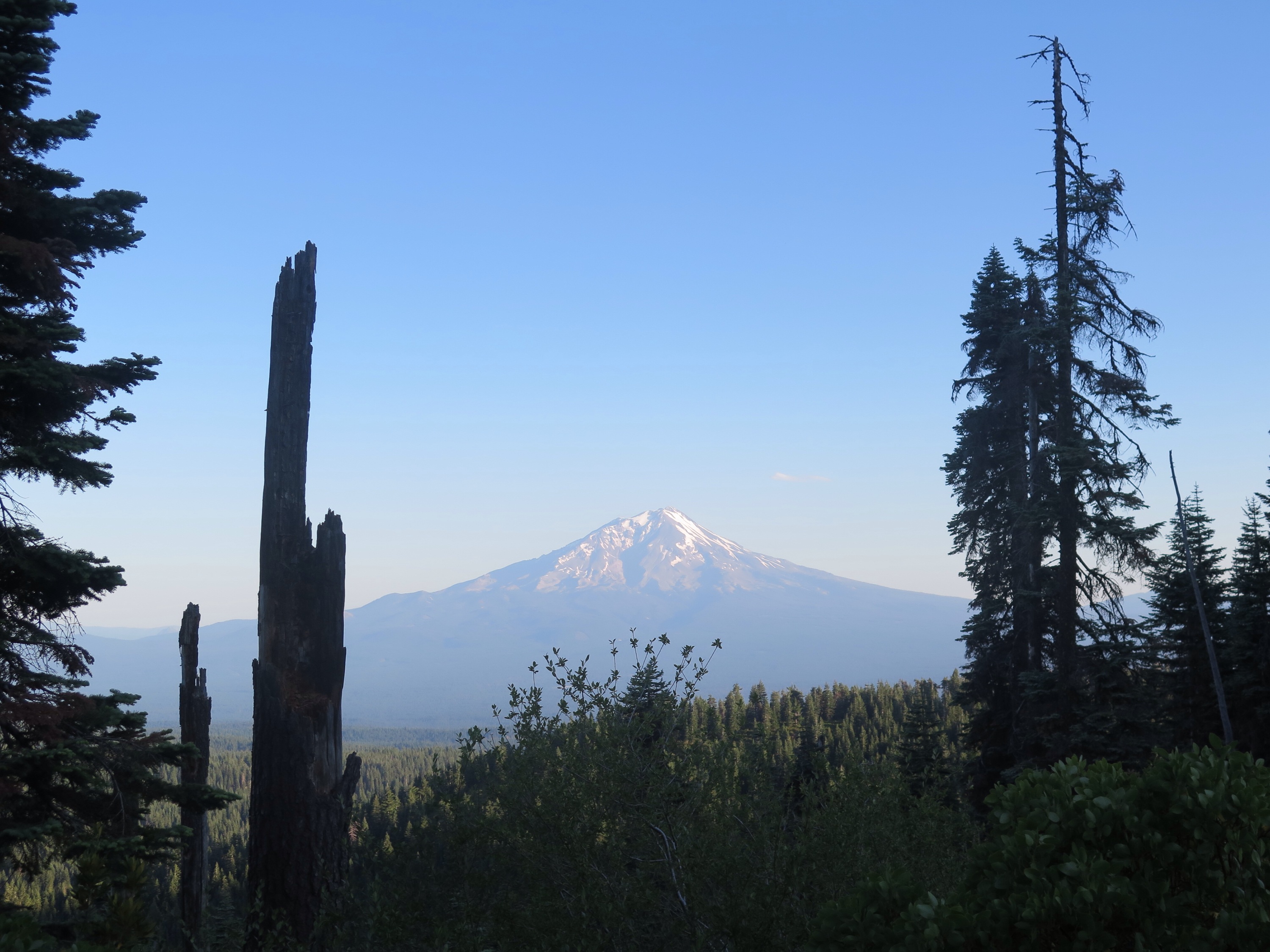
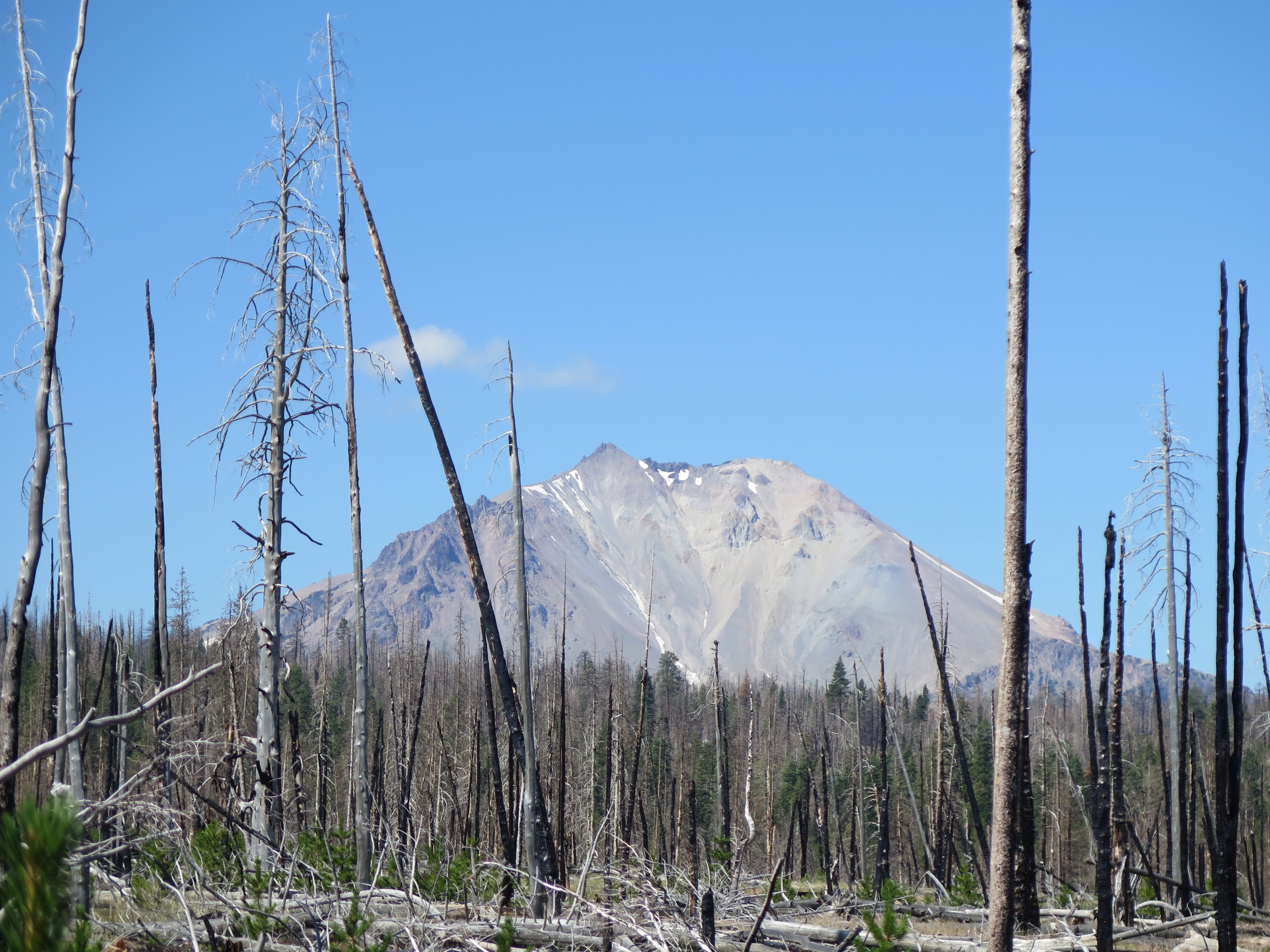
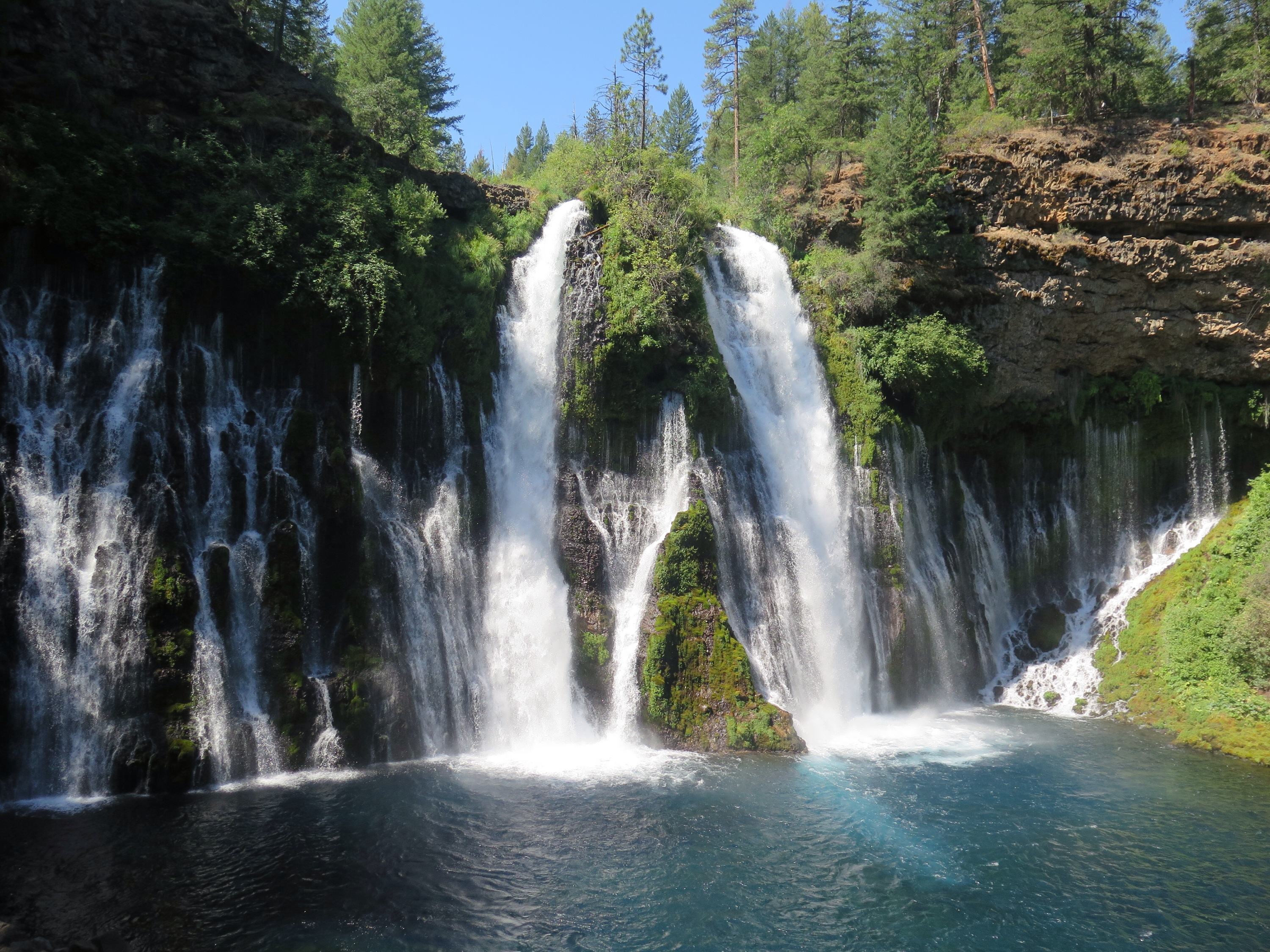
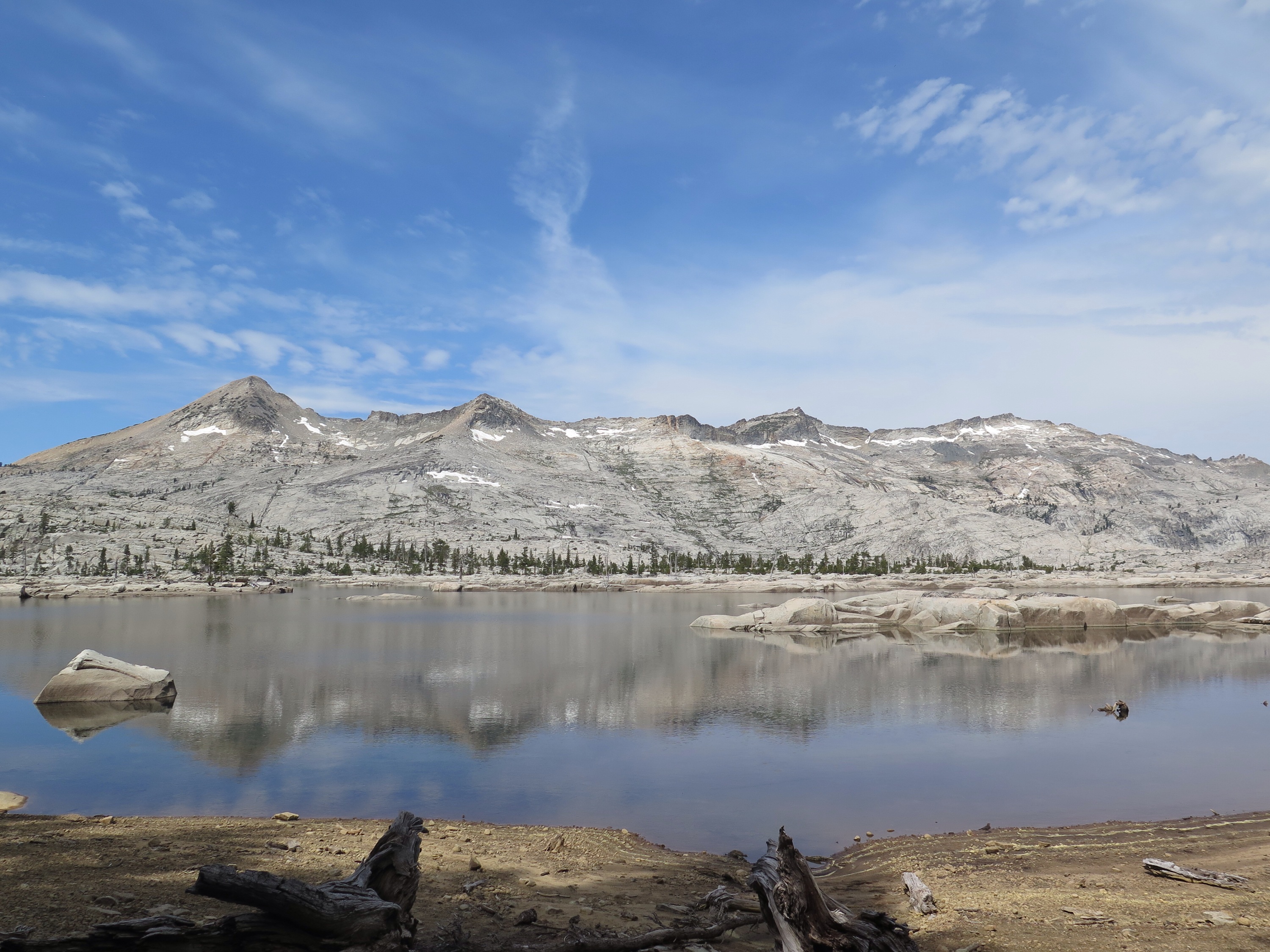
Micah Lake, Glacier Peak Wilderness.
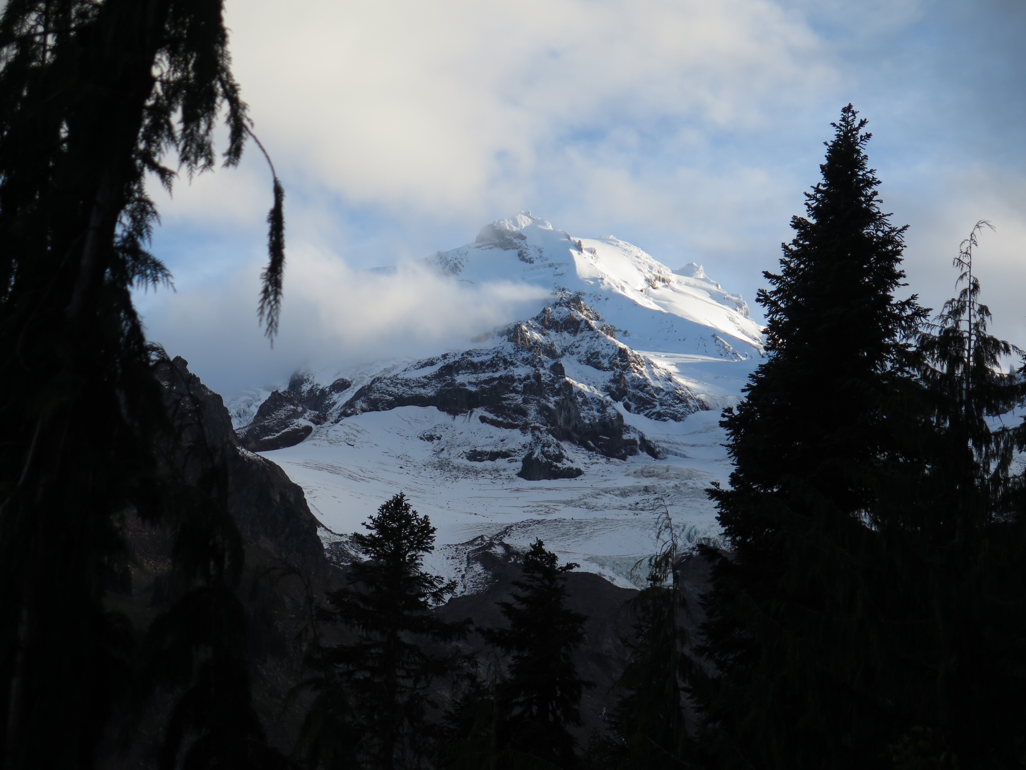
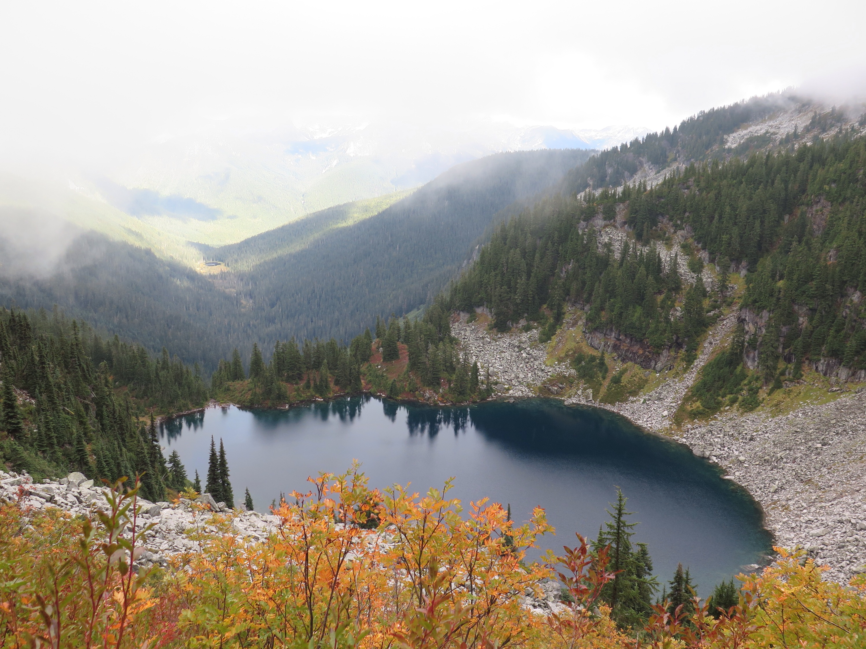
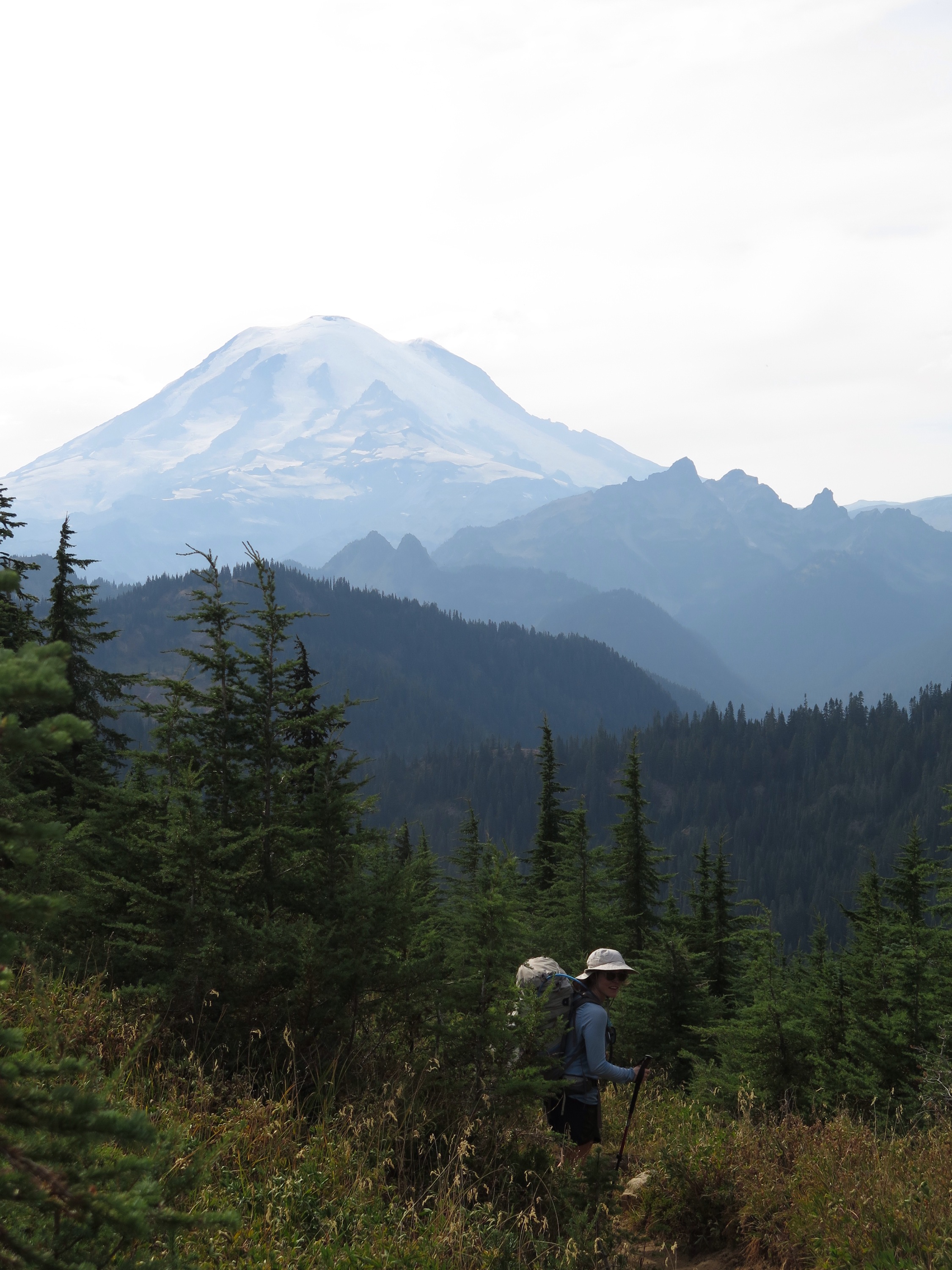
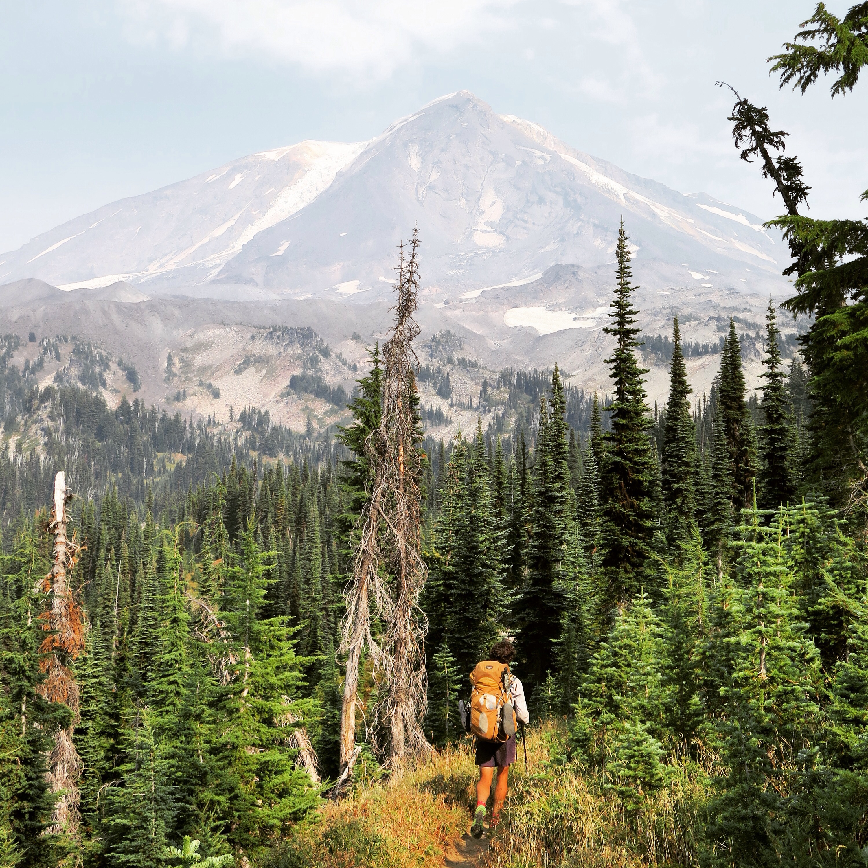
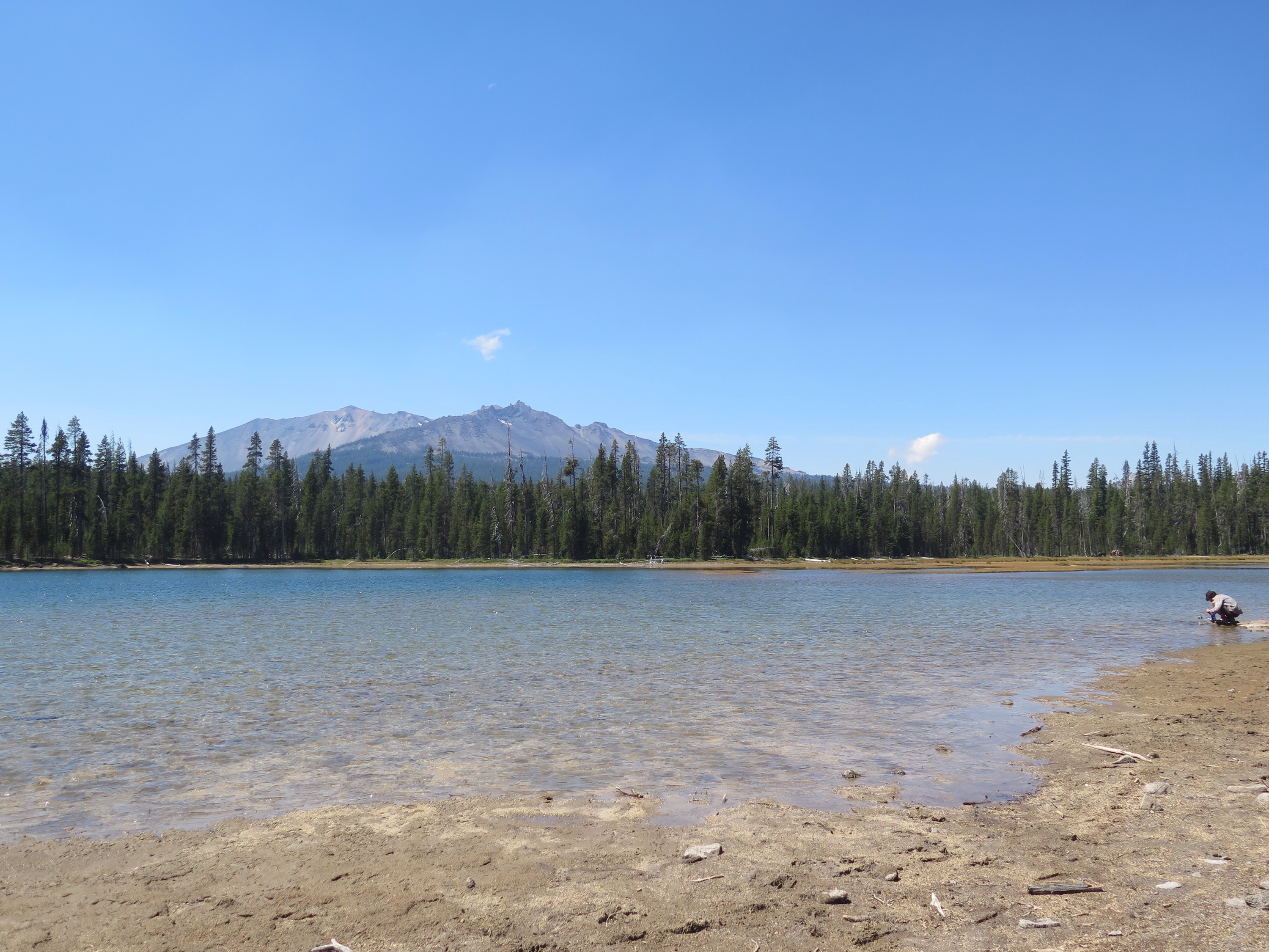
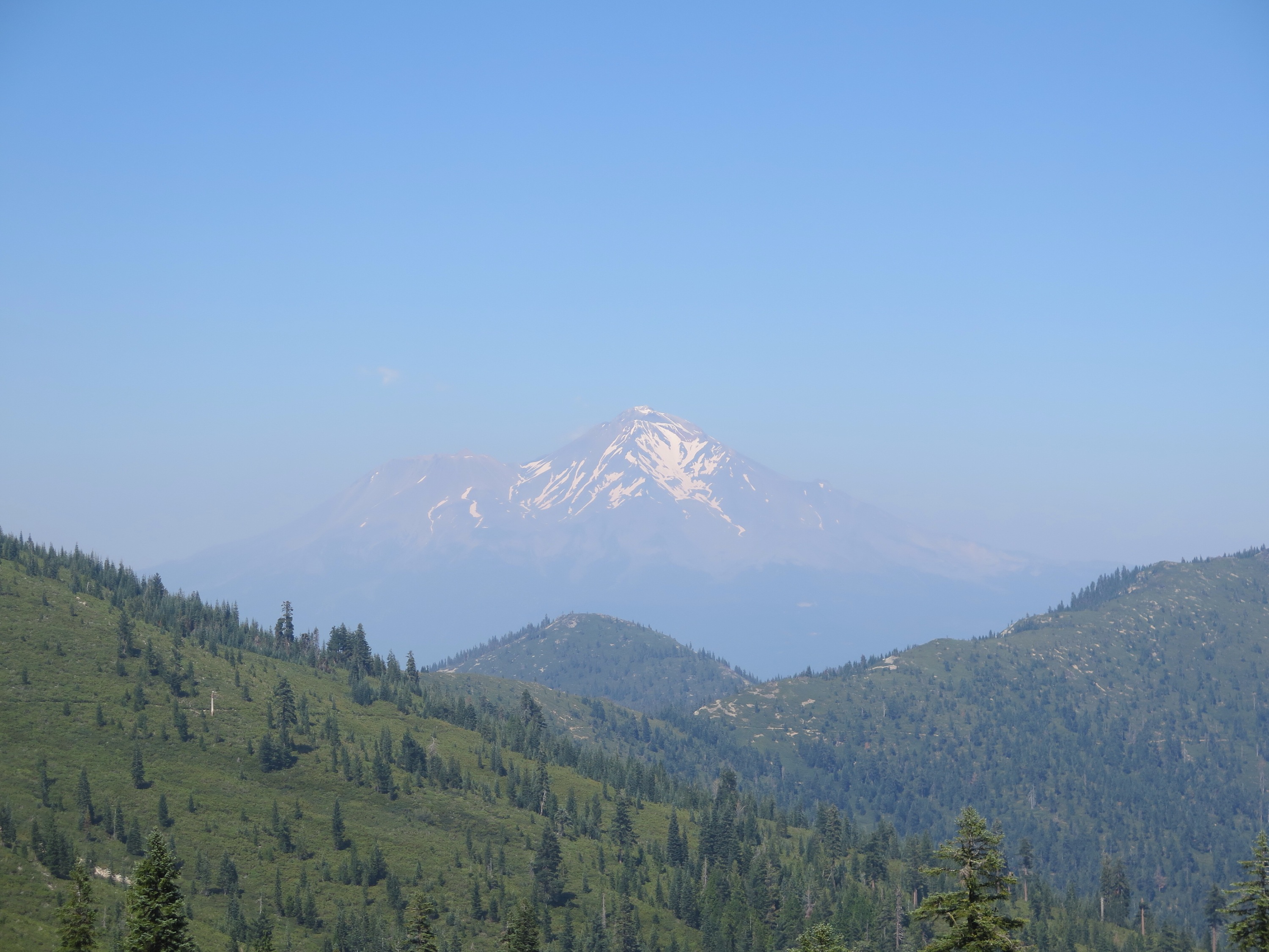
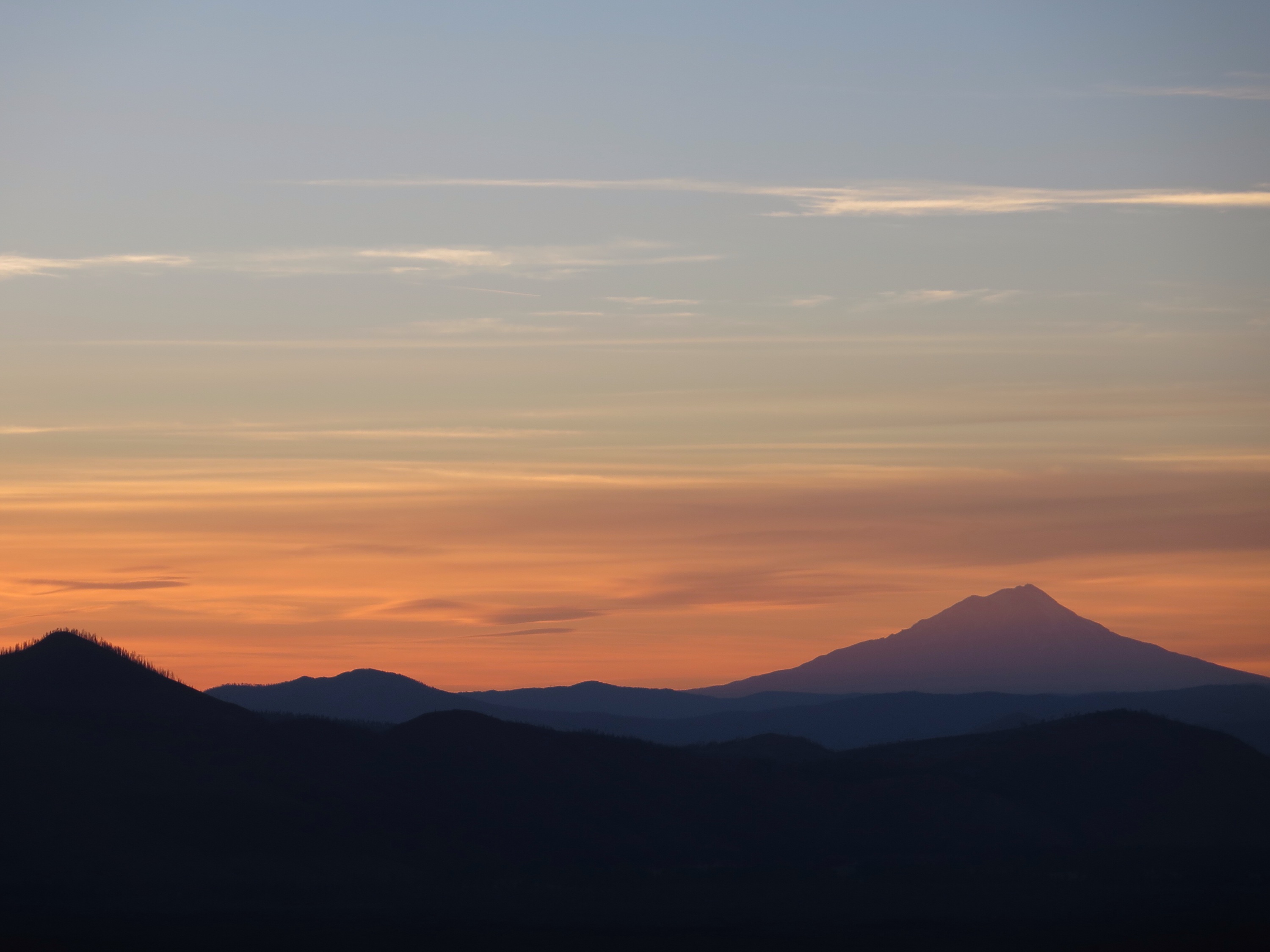
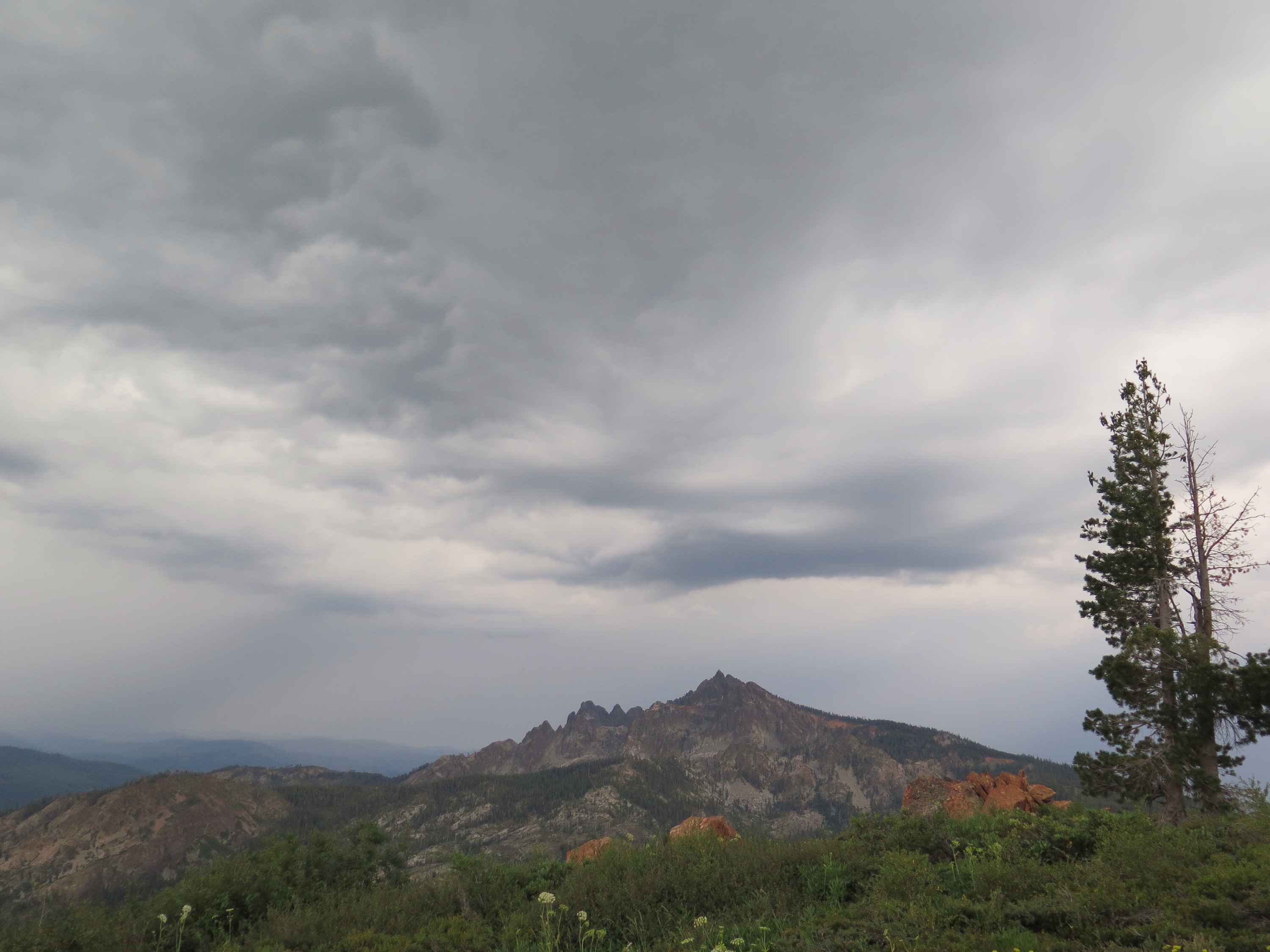
Glacier Peak finally emerges.
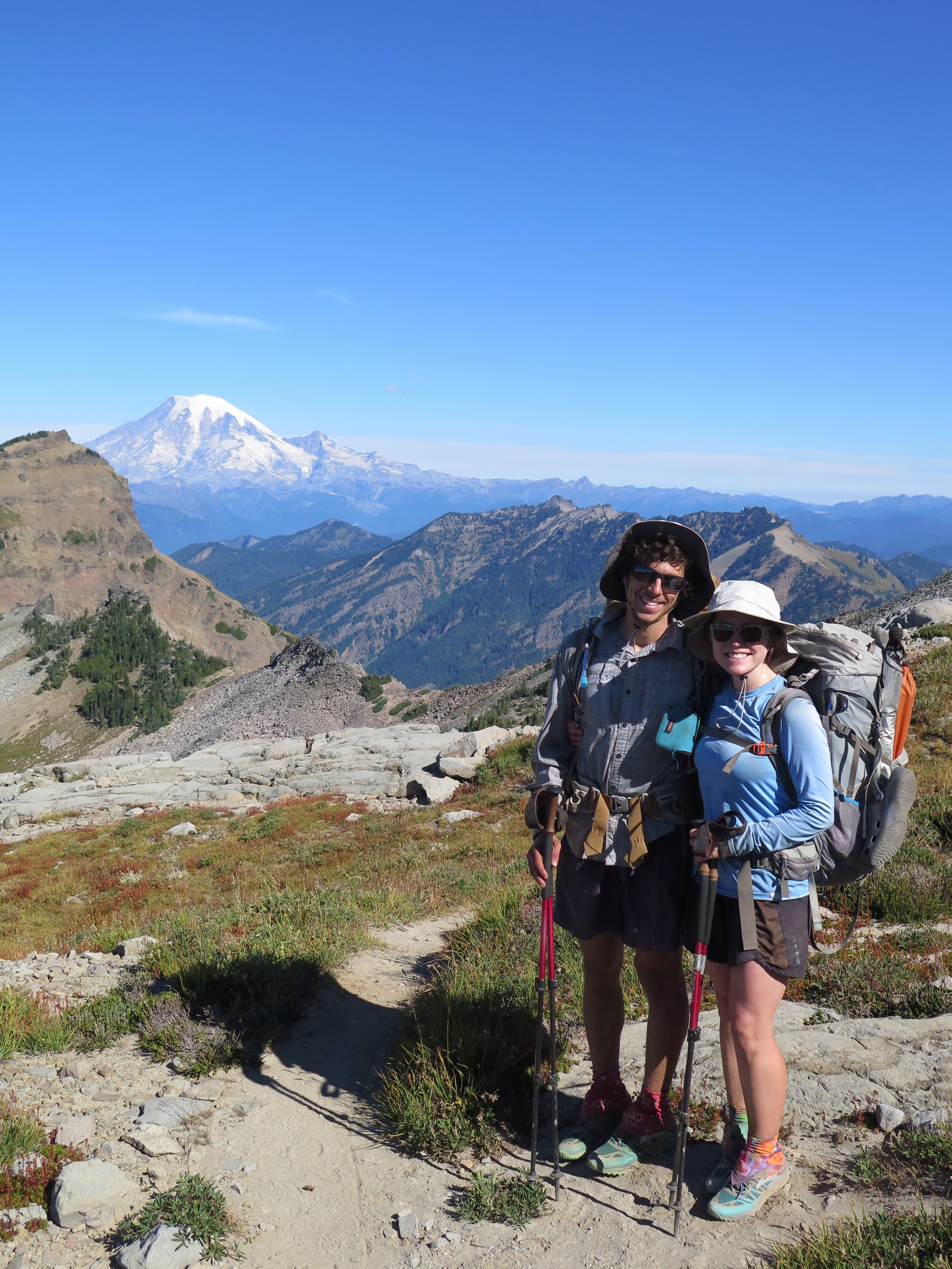
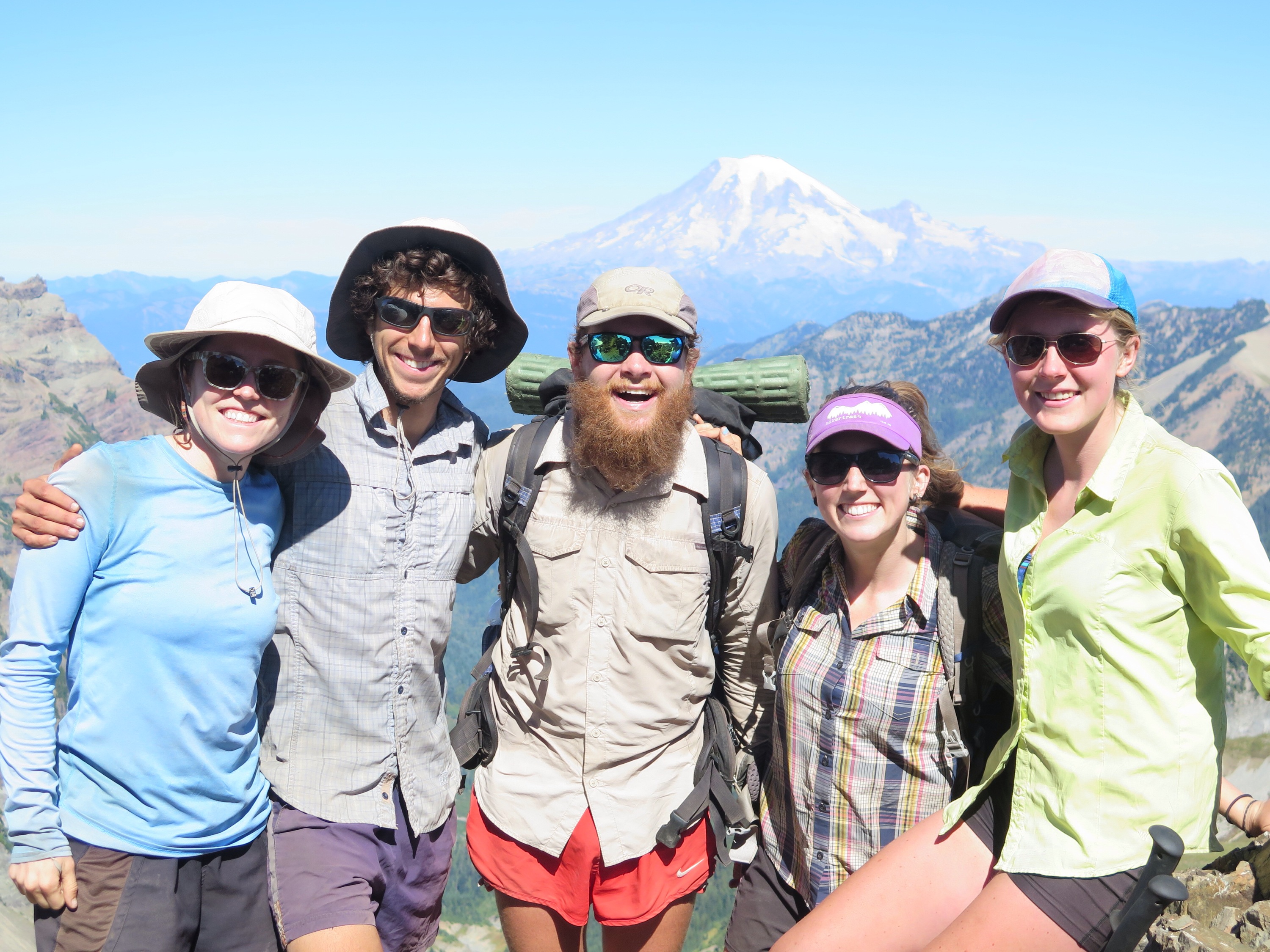
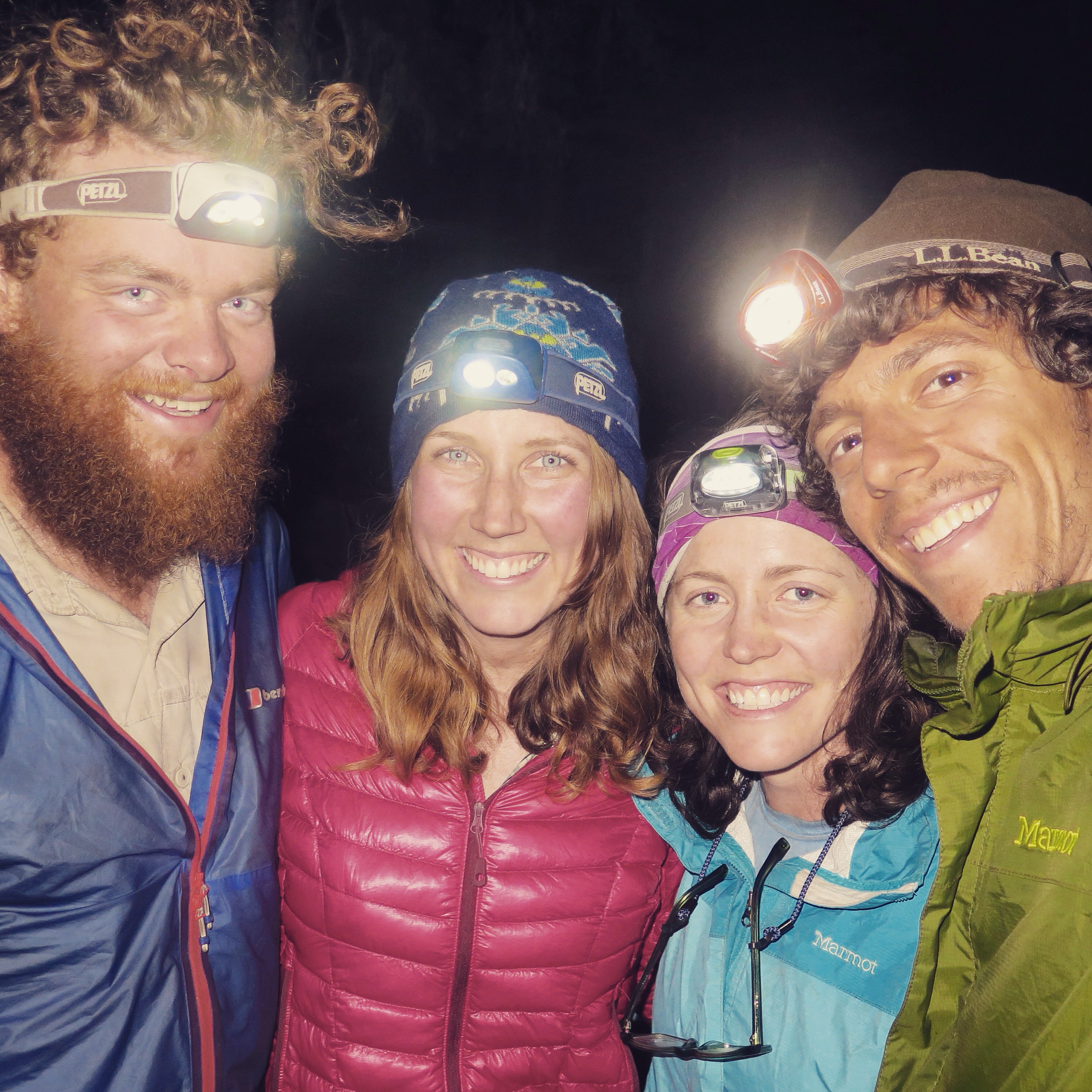
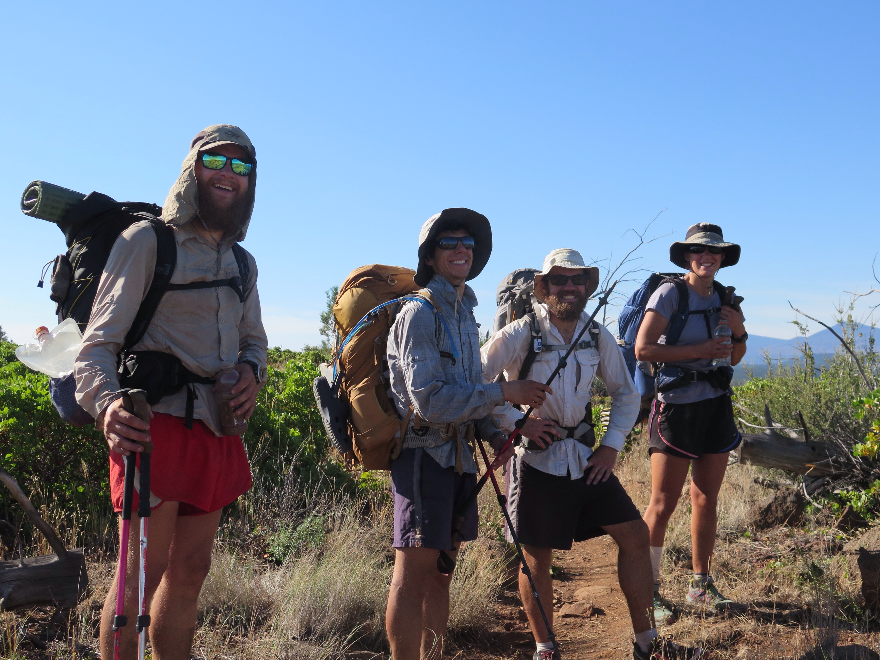
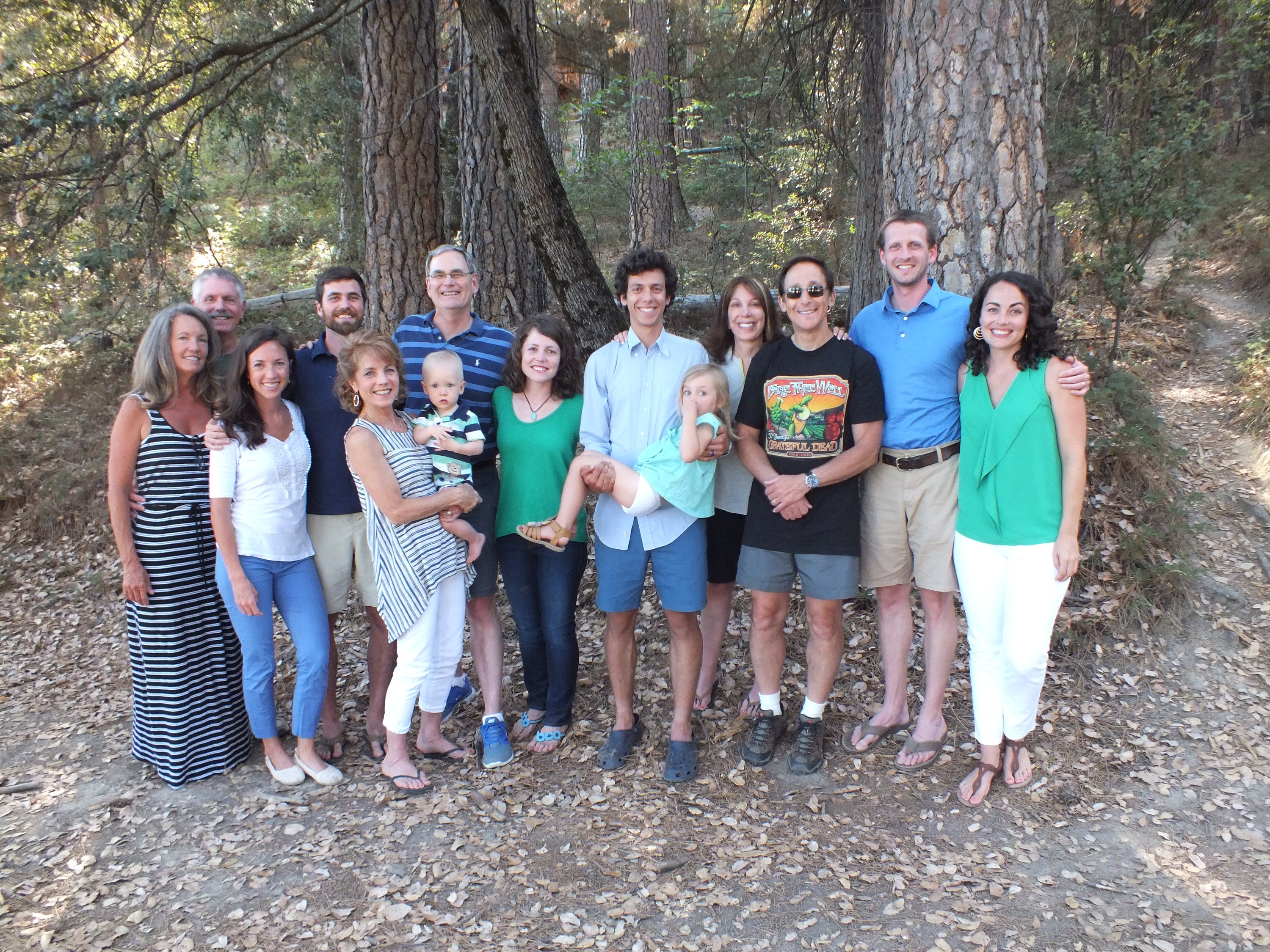
We also had the pleasure of meeting up with some of our favorite hikers, who, like us, were thrilled to have access to this once-closed portion of the trail. Some of them had already hitched up to Chelan and taken a ferry to Stehekin, ready to proceed north, when the heard about the section reopening. In true thru-hiker fashion, they turned around and started trekking south. which made for a very happy intersection/reunion near Glacier Peak. It was one of those moments (and we’d have many more before our trip ended) when we realized that the people really make the experience.

(Left to right) Sweetums, Skua, Ice Axe, Pounder, Twist, and Square.
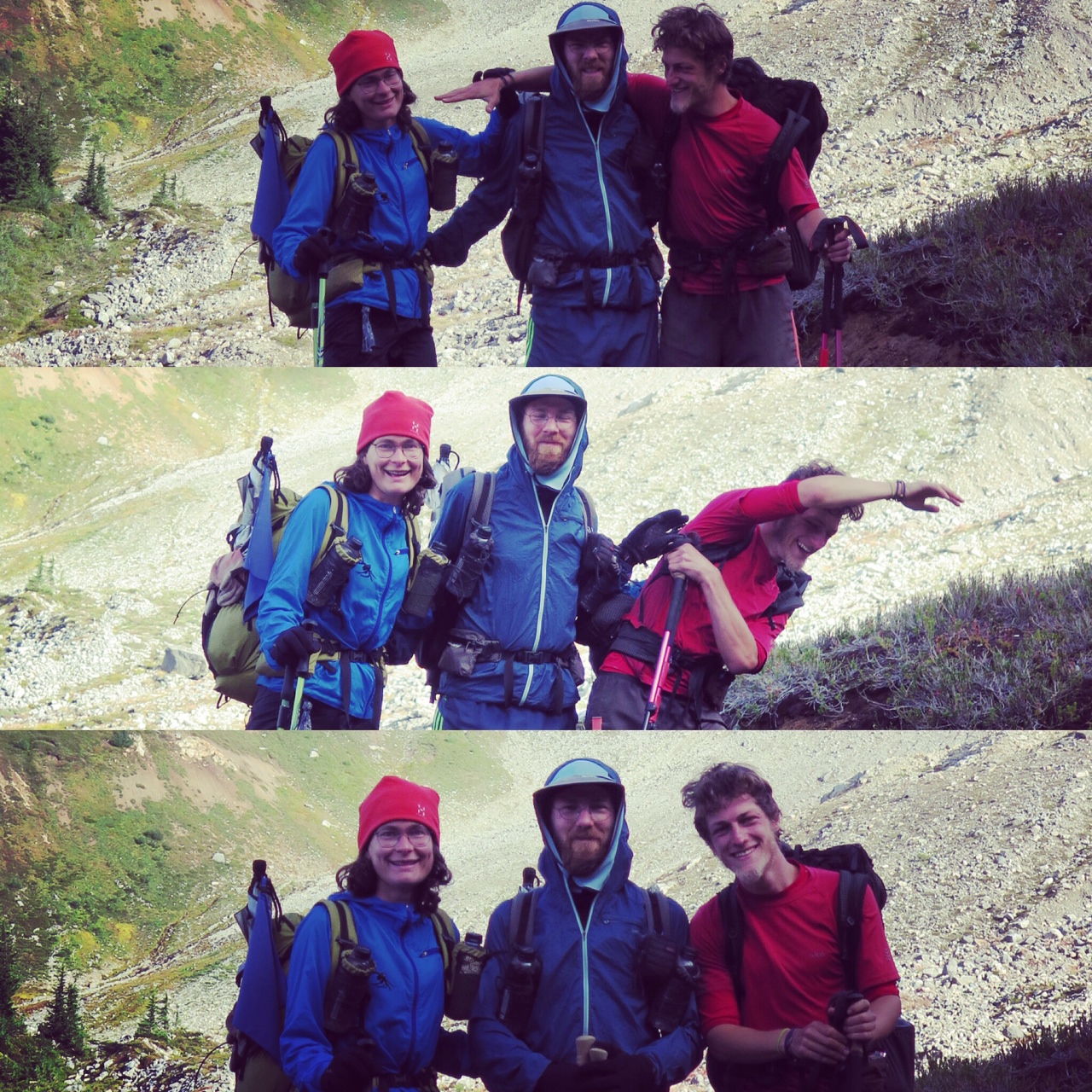
(Left to right) Sneezle, Backwise, and Leopard Sauce.
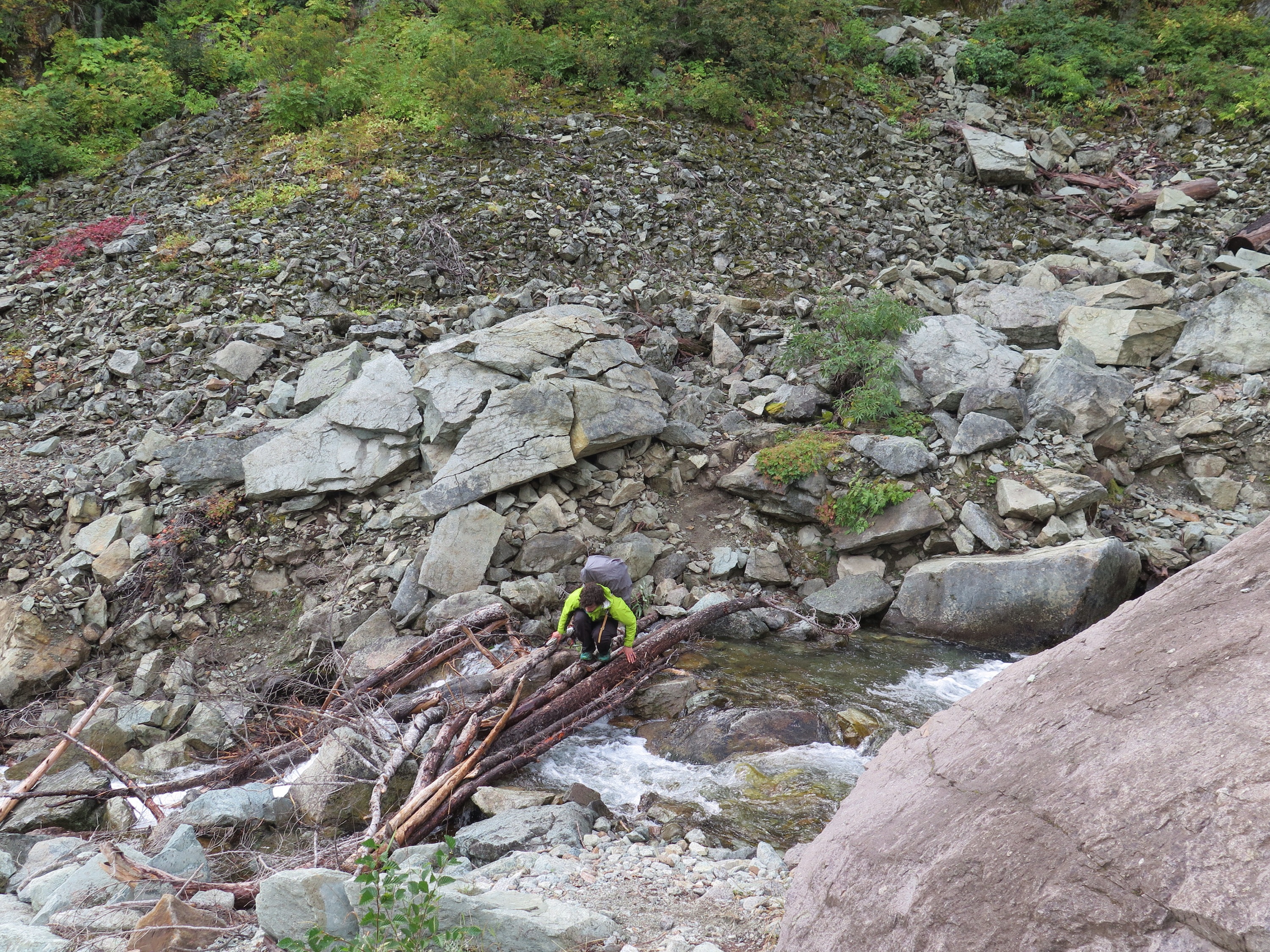
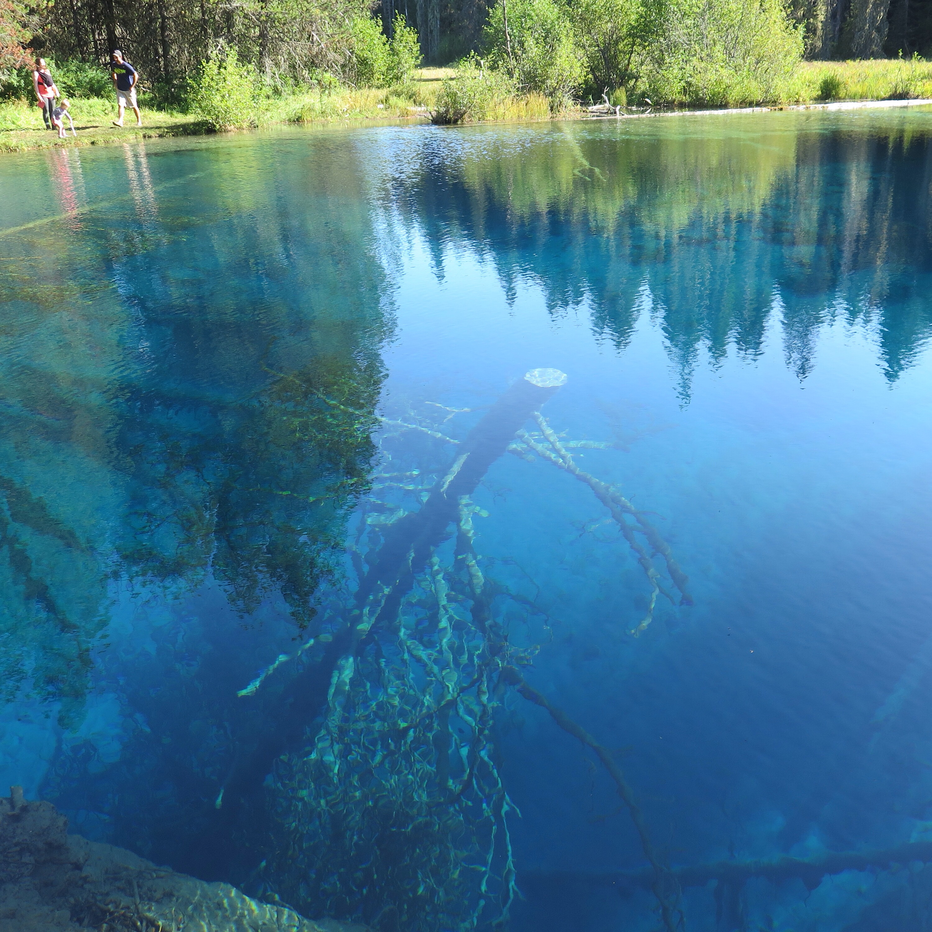
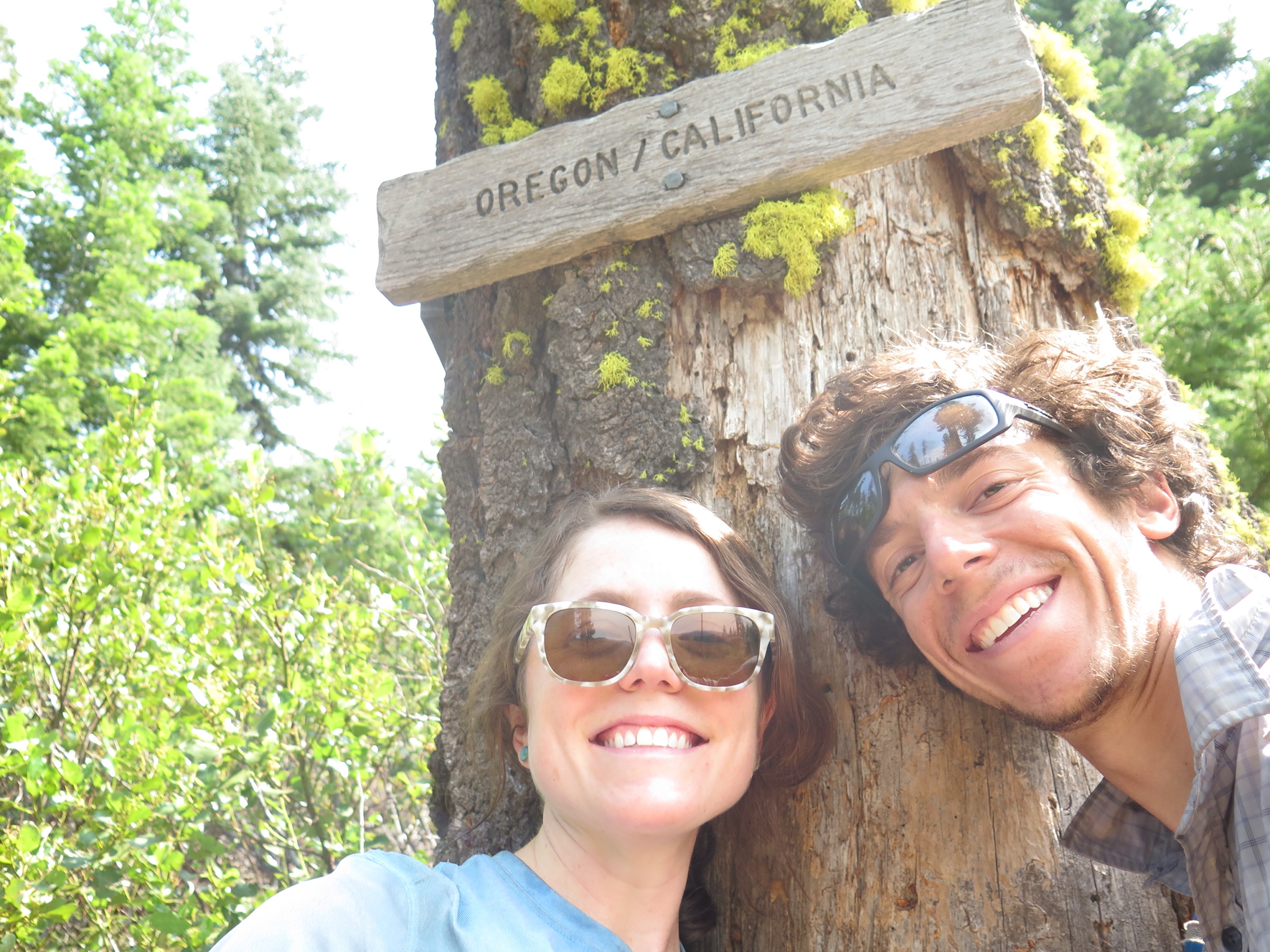
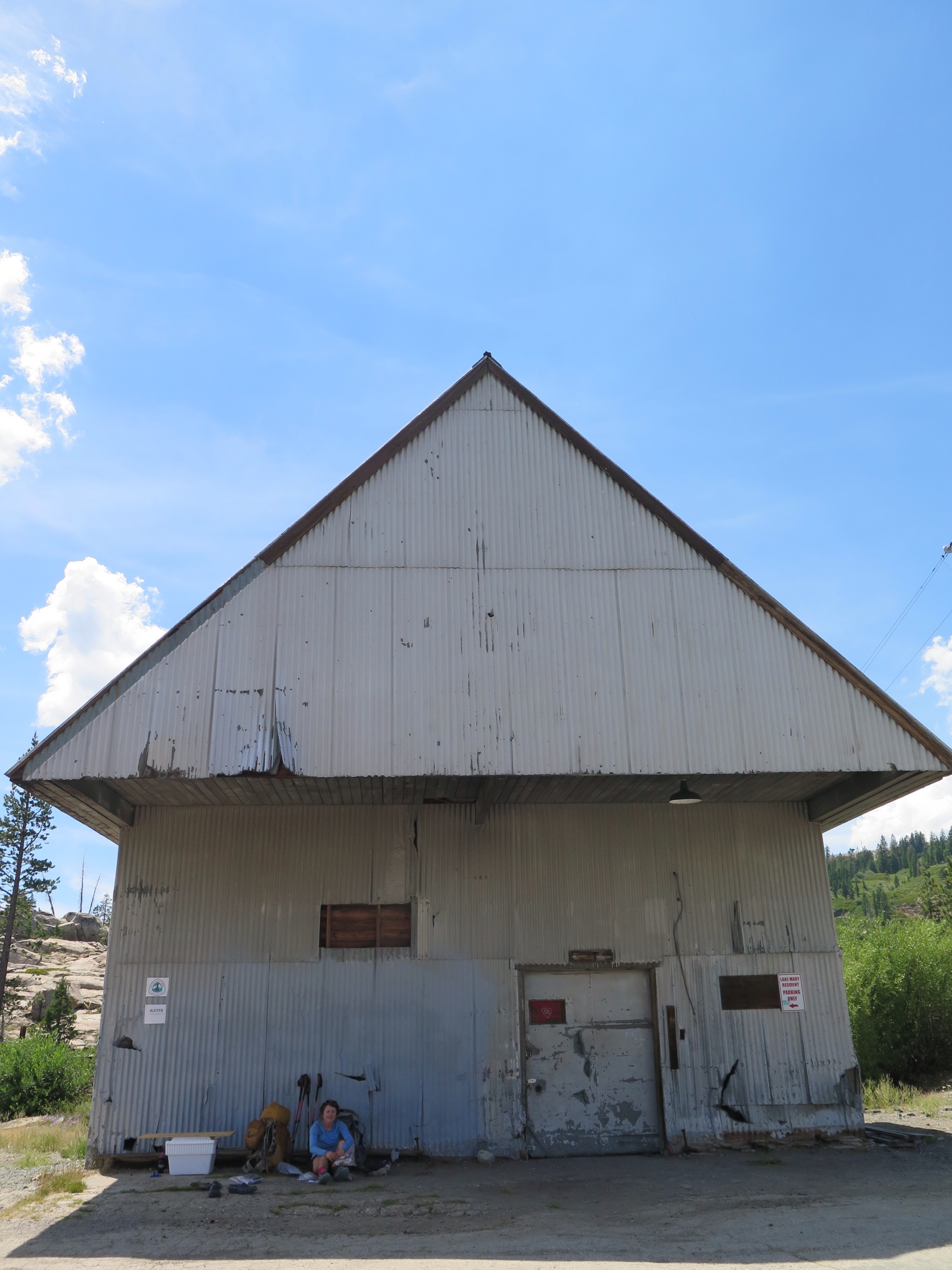
A few dozen miles later, we found ourselves in North Cascades National Park (our 7th!). We caught the bus from the High Bridge Ranger Station (filled with only thru-hikers, save one brave couple who endured our collective stench) and headed into Stehekin, our last town stop. Stehekin is an idyllic place accessible only by boat, plane, or foot. They have an astonishingly good bakery, which the bus always stops at, and the best post office on the trail, at least in my opinion. They’ve had a rough summer due to all the fires, but, when we were there, you wouldn’t have known. To us, it was paradise. We can’t wait to go back for an extended stay.

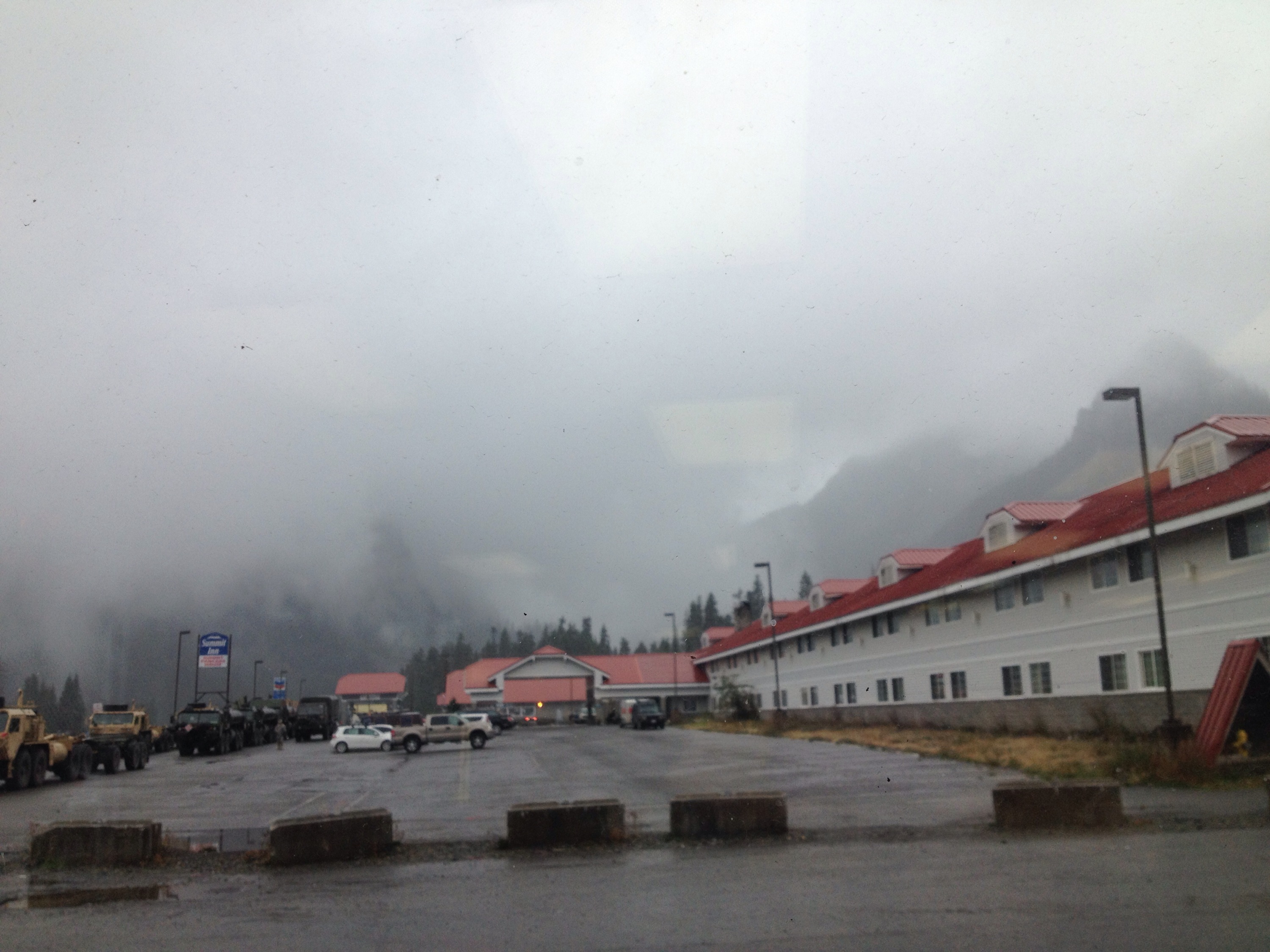
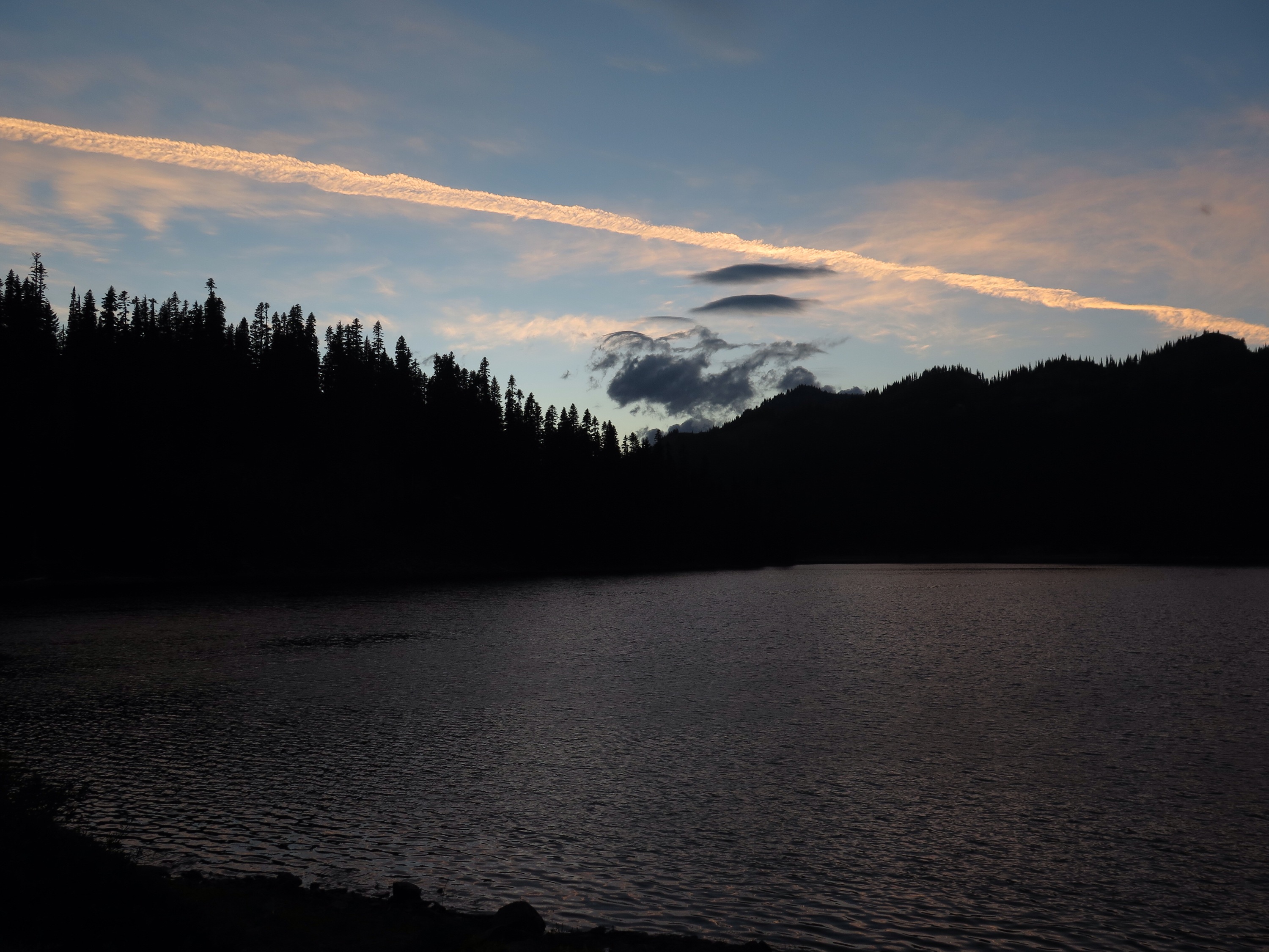
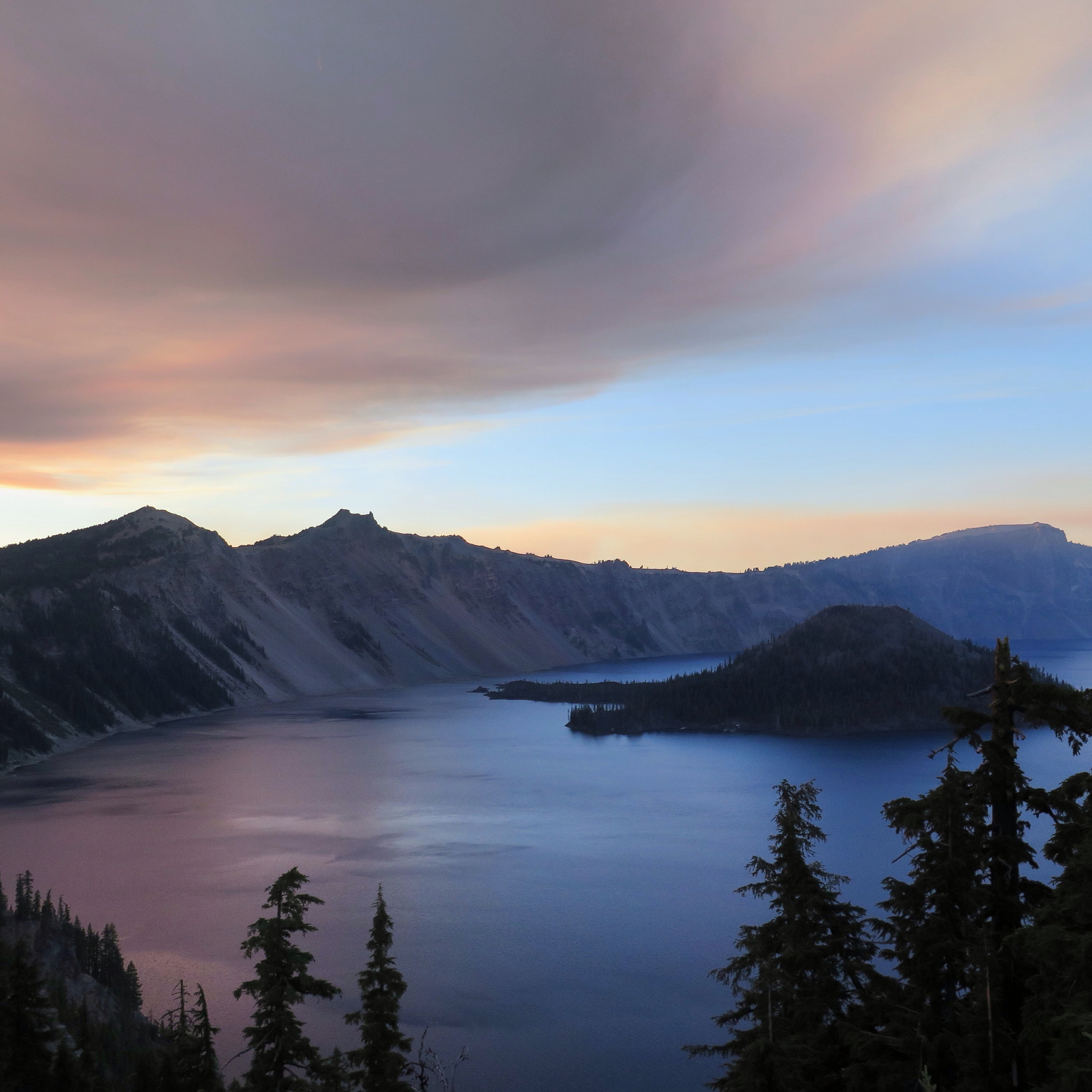
Sunset view from the Stehekin Lodge deck.
We spent the night dining and reminiscing with other thru-hikers, sharing our favorite (and least favorite) moments from the trail. We’d all come so far, over 2550 miles, and faced just one more stretch. The magnetism of the border pulled us forward, but we couldn’t deny that we were somewhat reluctant to approach the end. Would we ever see these friends again? What would life after the trail hold for each of us? Soon we’d be back in society, trying to explain what it feels like to walk such a long way. But here we were, one last time, surrounded by people who knew exactly what it felt like.
Stay tuned for Part 2,
Square